-
-

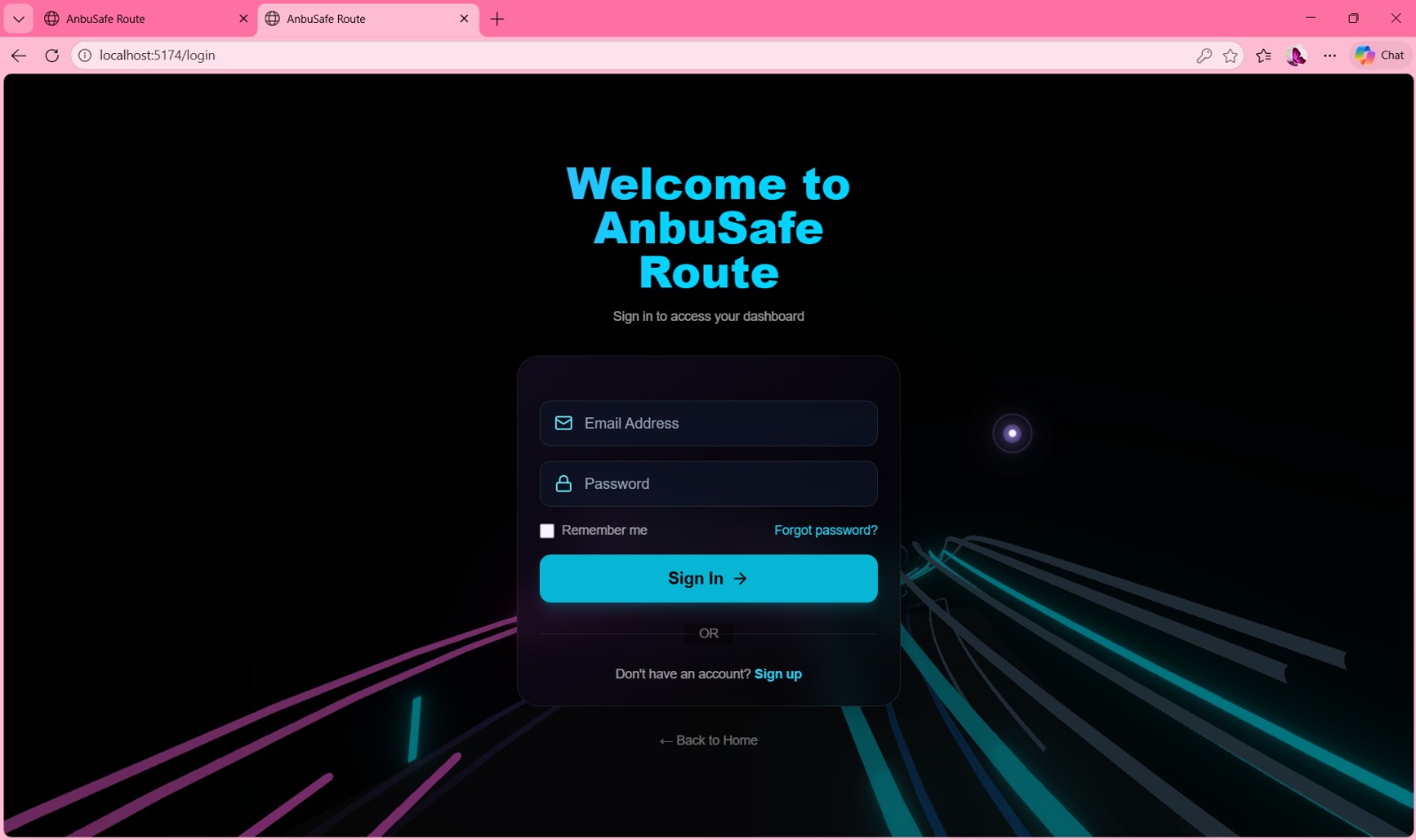
Login
-

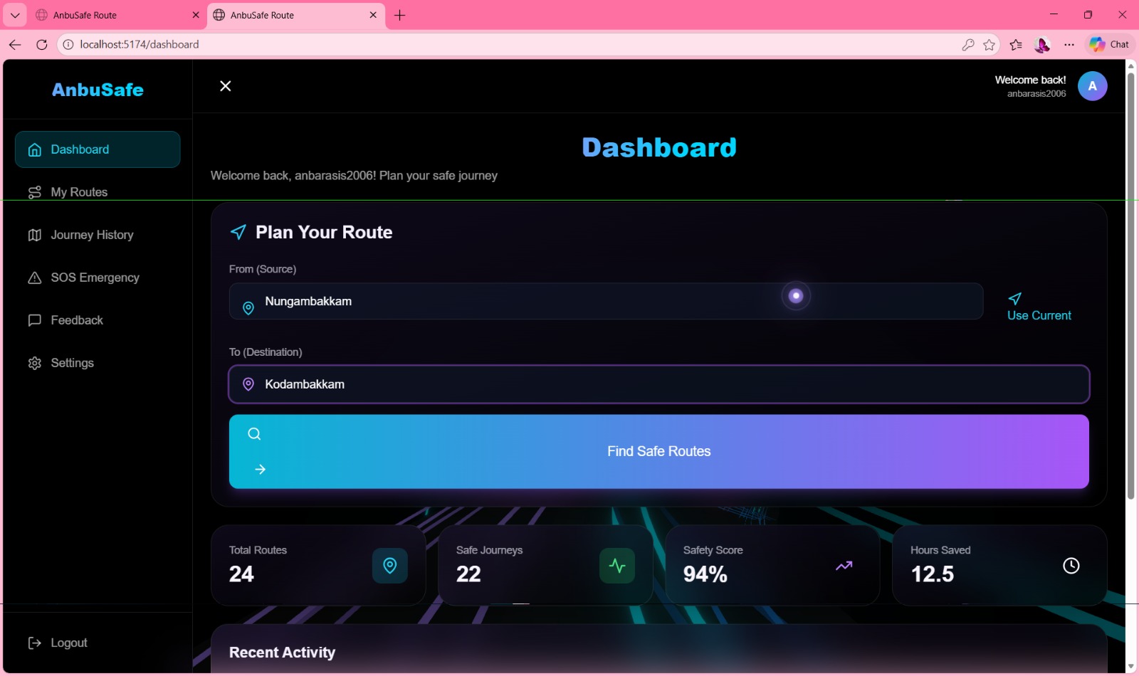
UI
-

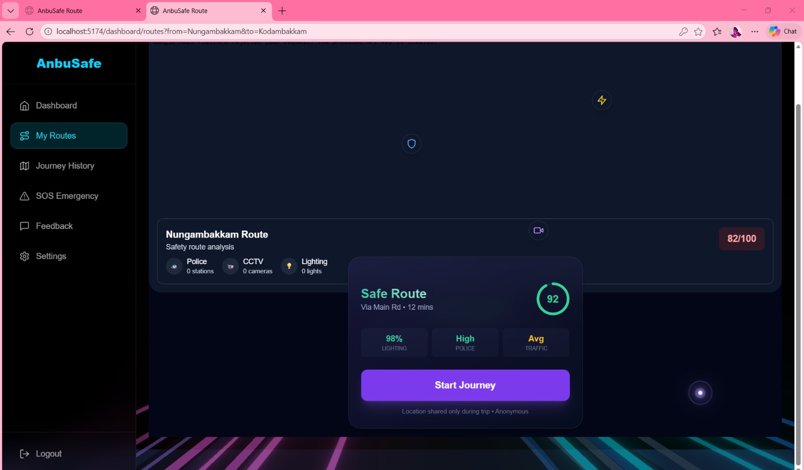
map
Inspiration
Urban travel at night often feels uncertain and stressful. Although safety indicators like police stations, CCTV cameras, streetlights, and active commercial areas exist, they are scattered, hard to judge, and not visible in real time.
Many of us have faced the same moment of doubt: “Which route should I take to feel safer?”
AnbuSafe Route was inspired by this everyday problem — the absence of a simple, trustworthy, and explainable way to choose safer routes, especially for students, working professionals, and solo travelers.
What it does
AnbuSafe Route is an AI-powered route safety guidance system that: Evaluates urban routes using safety-relevant signals Assigns clear safety labels: Green (Safe), Yellow (Moderate), Red (Risky) Explains why a route is rated a certain way Learns continuously from anonymous community feedback The app helps users make informed and confident travel decisions, not just faster ones.
How we built it
We built AnbuSafe Route using a lightweight, hackathon-ready stack: Frontend: React + Leaflet for interactive maps and route visualization Backend: Node.js + Express for route scoring and feedback handling AI: Gemini (via AI Studio) to generate human-readable safety explanations Data: Curated demo routes from Nungambakkam for reliability Privacy-first design: Temporary location access with explicit consent
Each route is evaluated using a weighted scoring system: Safety Score=∑(Safety Signal Weight×Count) The score is normalized to a 0–100 range and mapped to a safety color.
Challenges we ran into
Data availability: Real-time safety data is often incomplete or outdated API limitations: Live APIs can fail during demos, so we built fallback datasets Explainability: Balancing technical accuracy with user-friendly explanations Privacy concerns: Ensuring anonymity while still learning from user feedback These challenges guided us toward a more responsible and resilient design.
Accomplishments that we're proud of
Built a working end-to-end prototype within limited time Integrated Gemini AI for explainable safety reasoning Designed a privacy-conscious feedback loop Created a demo that reflects real locations and real concerns Delivered a solution that is both technically sound and socially relevant
What we learned
AI adds the most value when it explains decisions, not just predicts outcomes Ethical design and transparency significantly increase user trust Community feedback can meaningfully improve system accuracy over time Simple, well-executed ideas can have strong real-world impact
What's next for AnbuSafe Route
Integrating live OpenStreetMap and civic data sources Expanding coverage beyond demo areas Adding time-based safety variations (day vs night) Partnering with local authorities and communities for verified data Making AnbuSafe Route a reliable companion for safer urban mobility
Built With
- css
- express.js
- github
- html
- javascript
- json
- leaftlet.js
- node.js
- react.js
- tailwind.js
- vsc

Log in or sign up for Devpost to join the conversation.