Inspiration
On January 26, 2024, a 2-year-old patient in cardiac arrest died because the closest ambulance was over 20 minutes away.
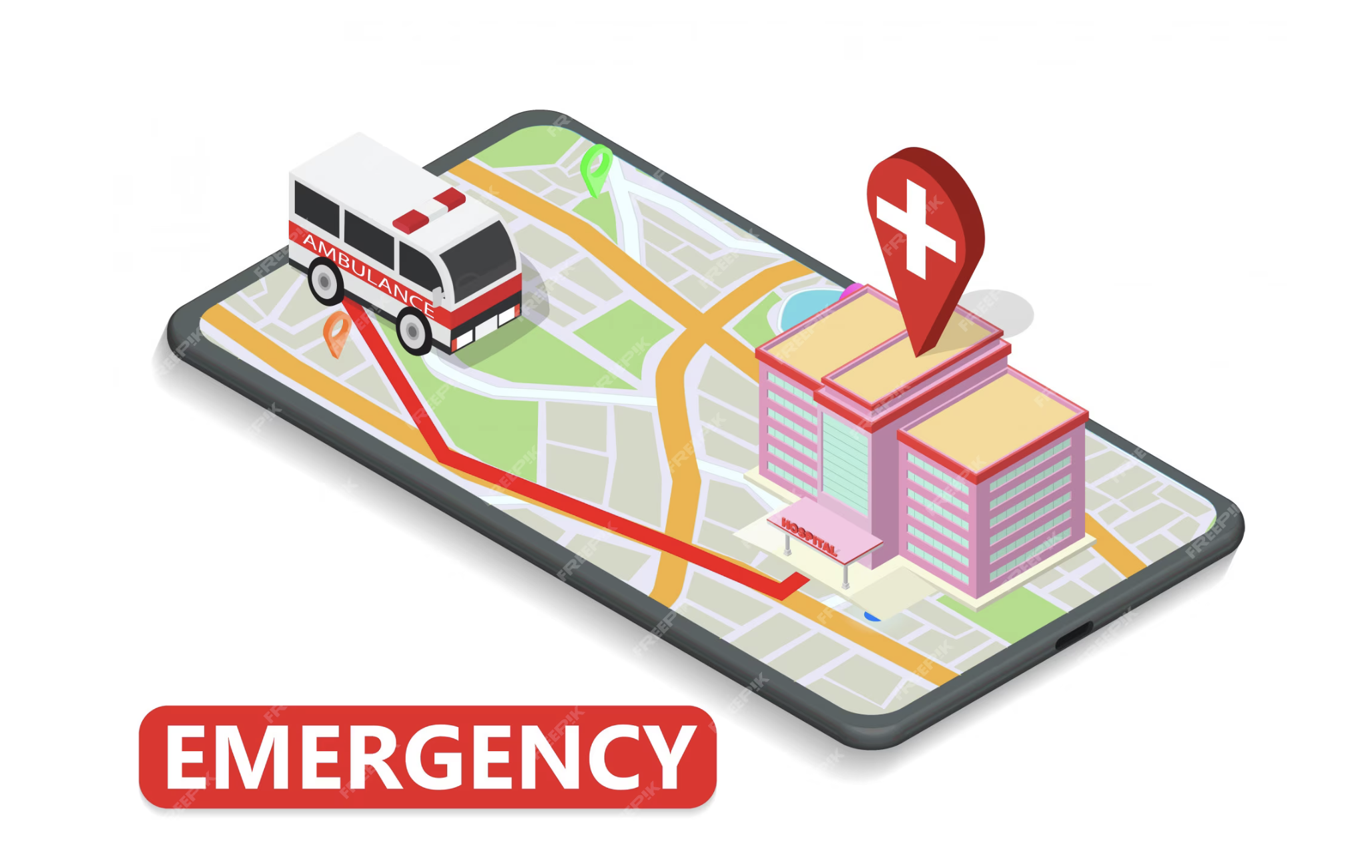
What it does
Assists dispatchers in overseeing ambulance locations to ensure comprehensive coverage across all areas.
How we built it
Using Python in Google Colab, we determined open coverage areas, calculate total map area covered, and move ambulances to optimize coverage area.
Challenges we ran into
- How to approach the problem
- How to get user input and apply it to the code
Accomplishments that we're proud of
Developing a visual representation of coverage area utilizing matplotlib, enabling users to vividly experience the data.
What we learned
We gained experience collaborating in a team environment to solve real-world problems. We are literally saving lives.
What's next for Ambulance Allocation
- User Interface: overlay with a map interface, enable direct interaction with real-life data, facilitate streamlined decision-making
- Area Coverage: Limit each ambulance to specific base/post locations, ensure ambulance does not travel too far from "home base"

Log in or sign up for Devpost to join the conversation.