-
-
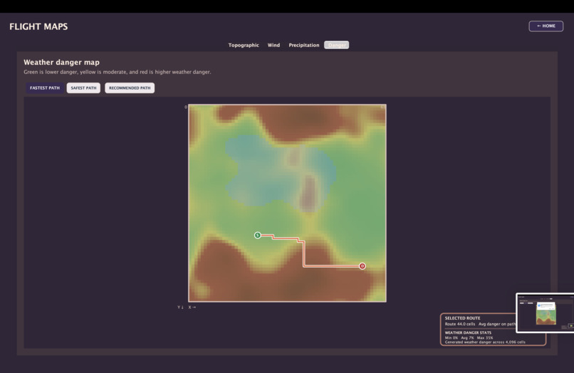
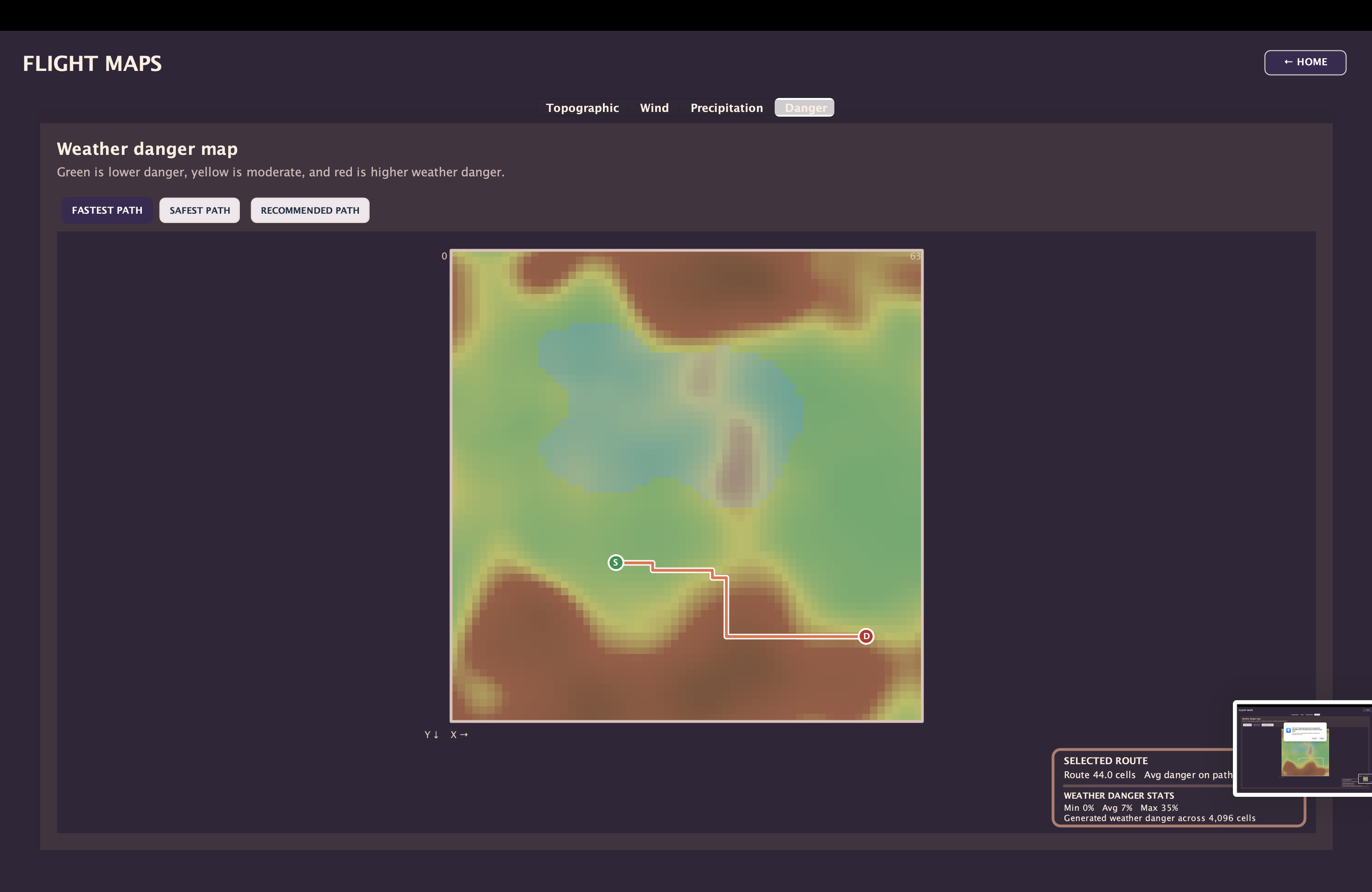
Danger mapping fastest route
-
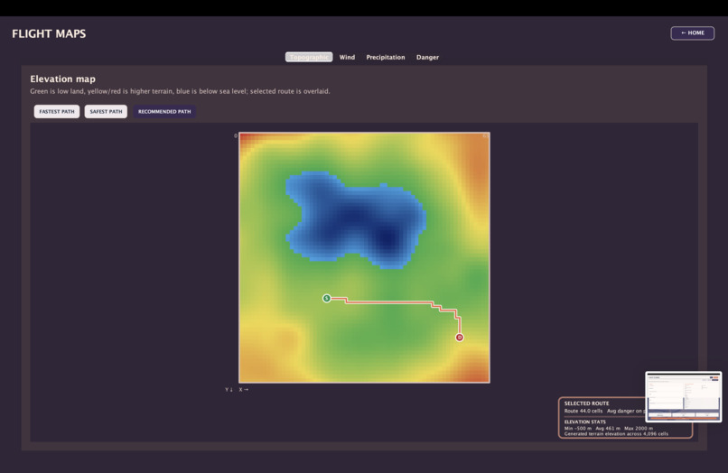
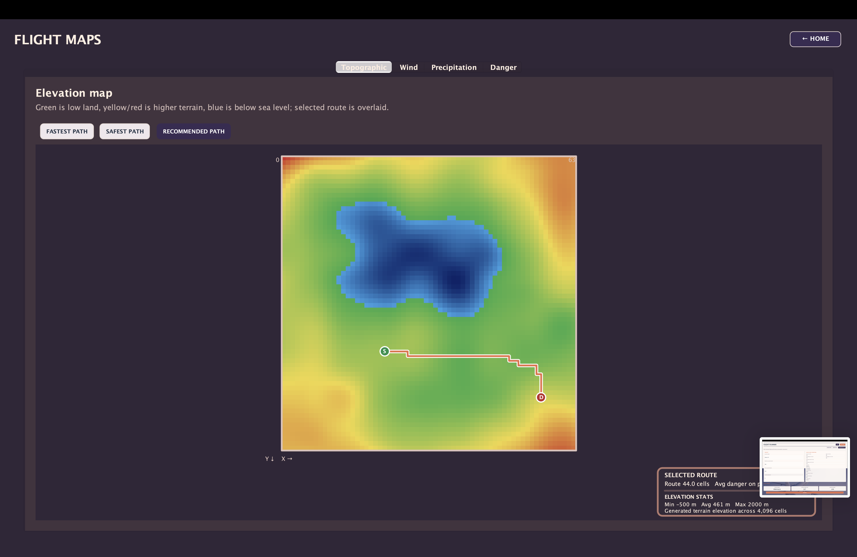
Topography mapping
-
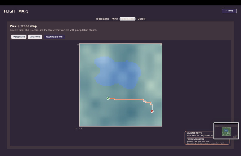
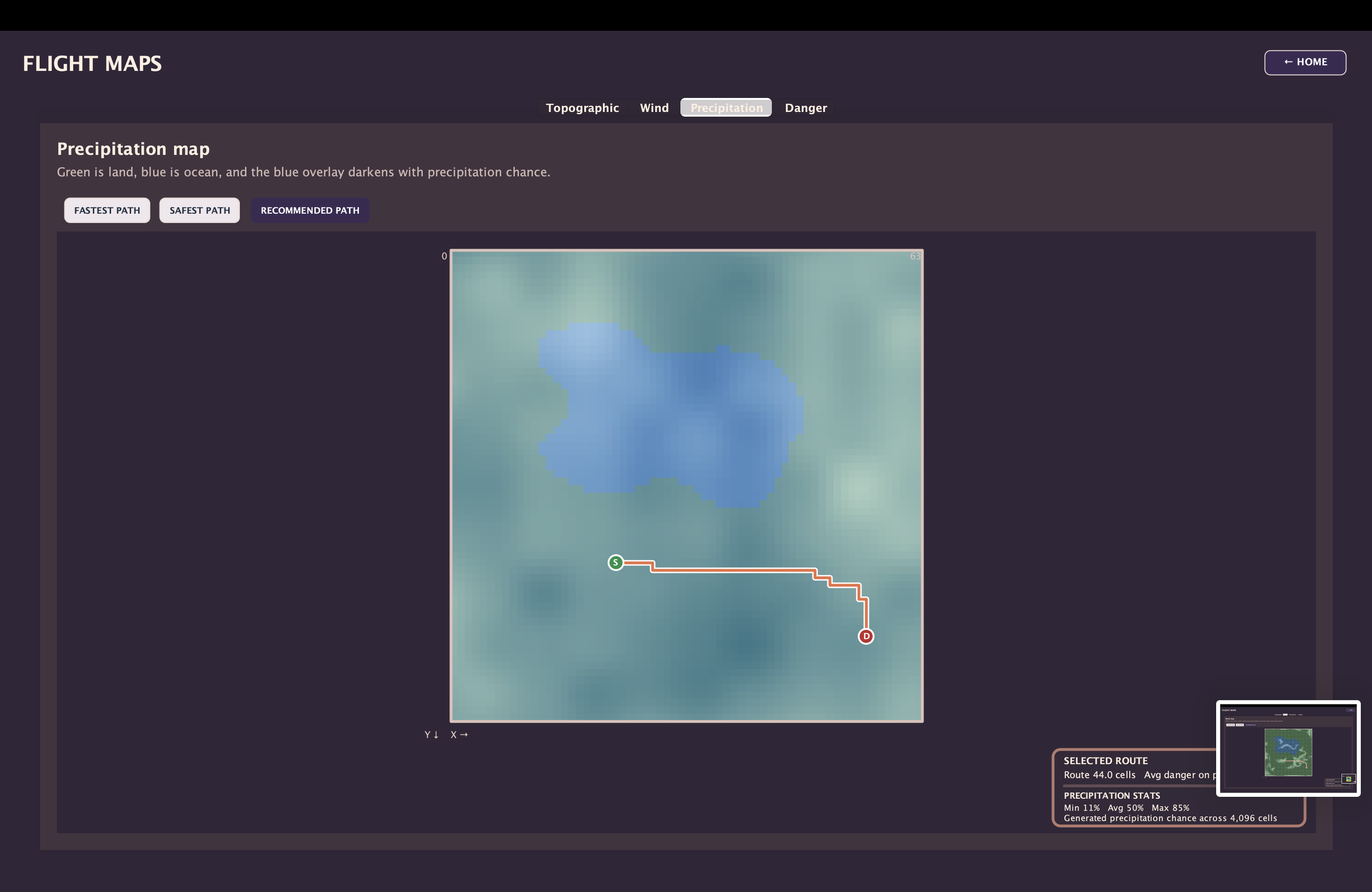
Percipitation Mapping
-
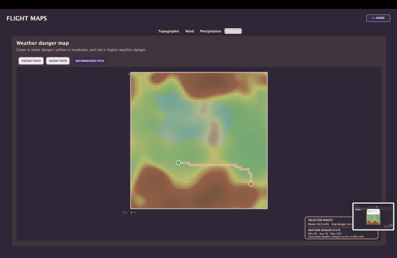
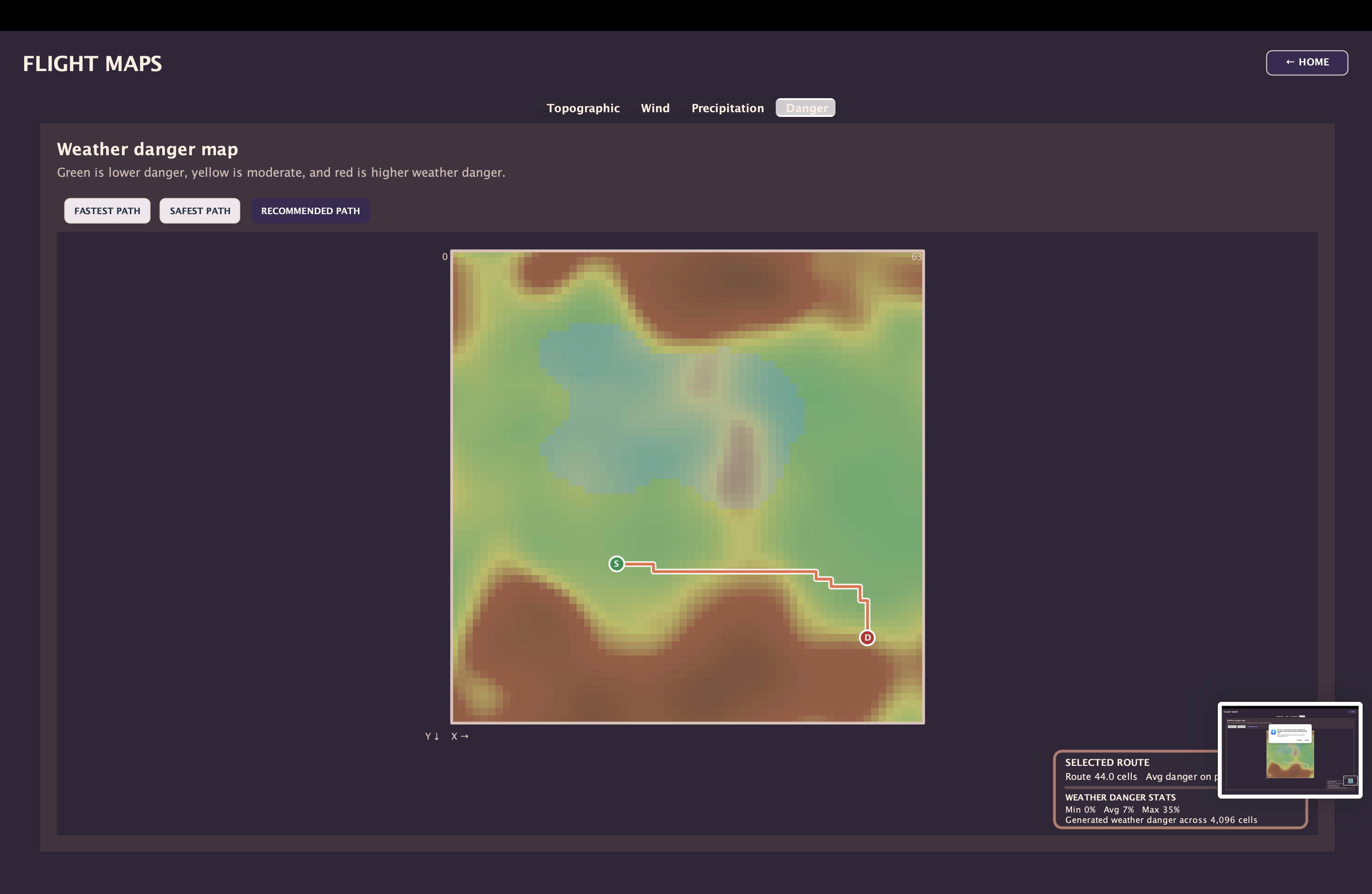
Recommended Route (Like a middleground)
-
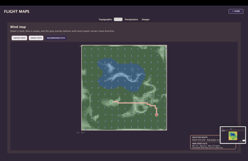
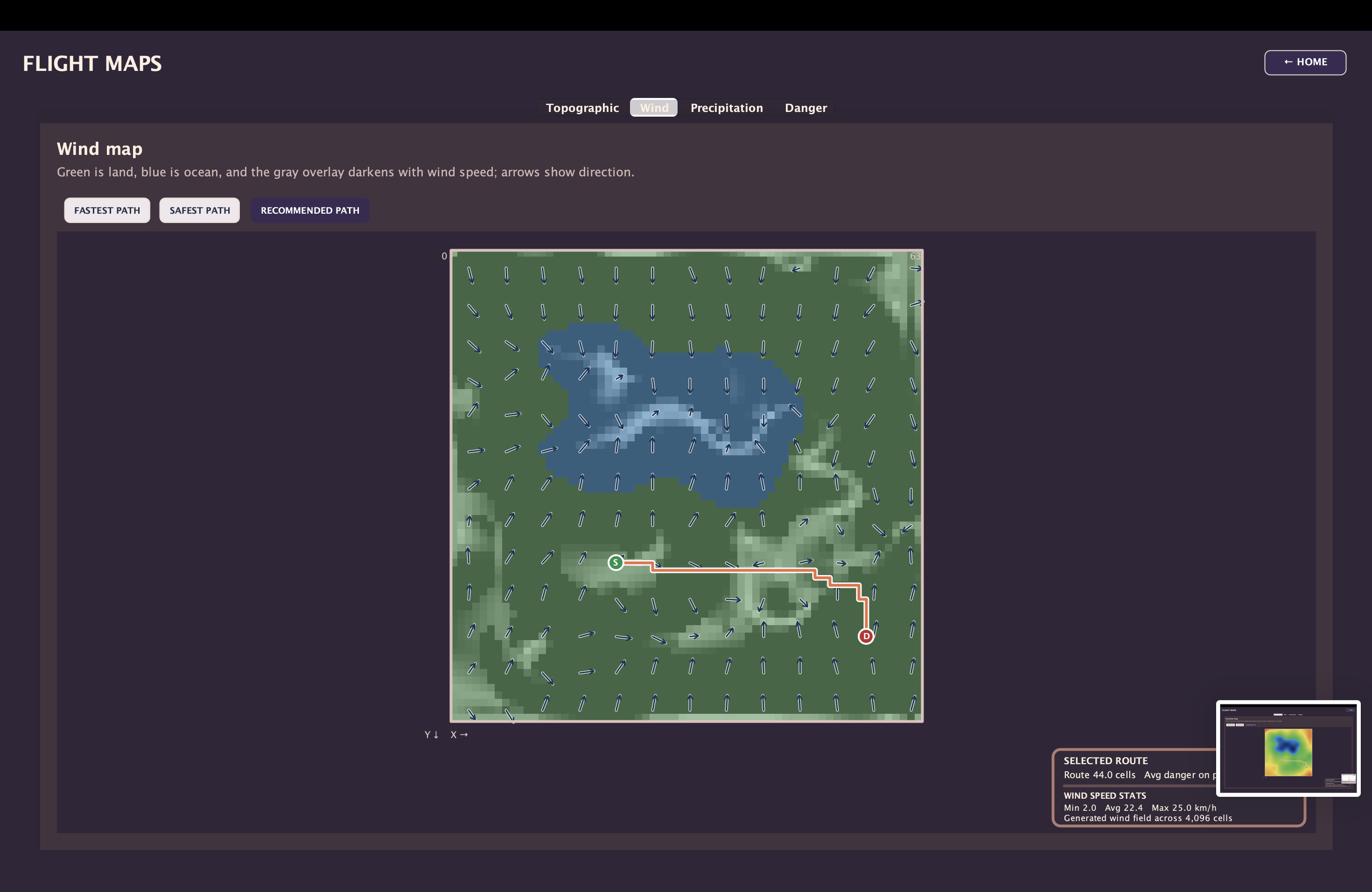
Wind mapping
-
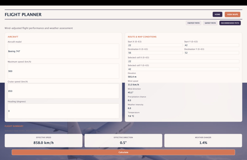
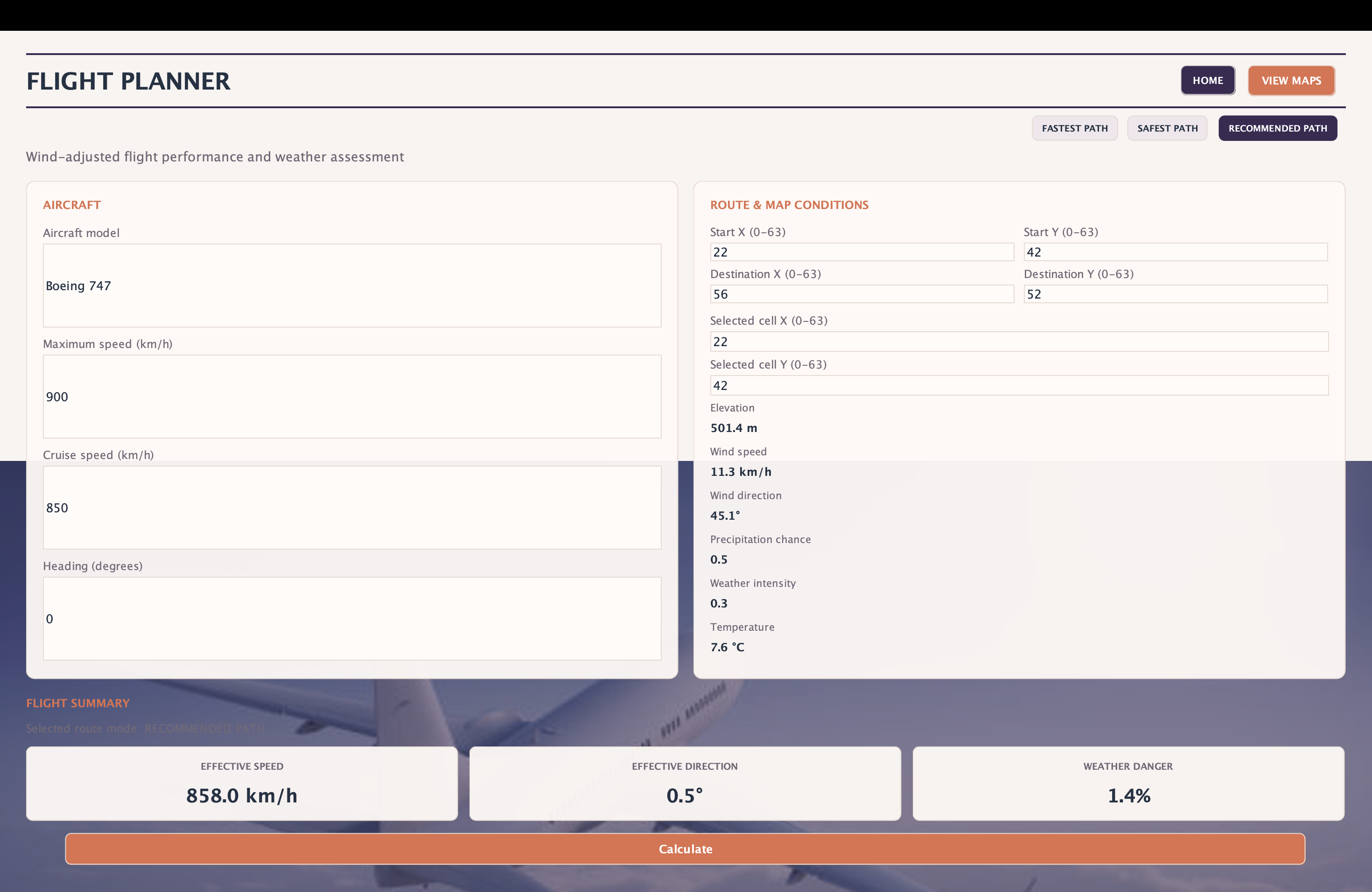
General stats and customization
-
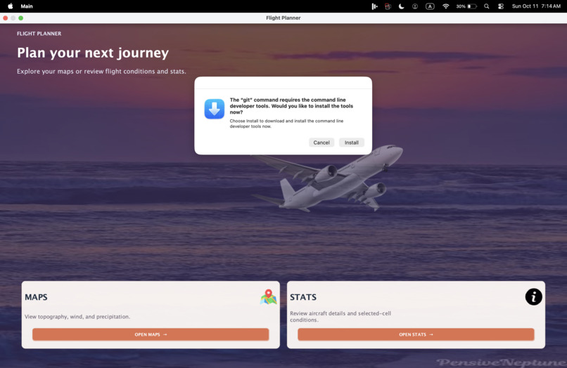
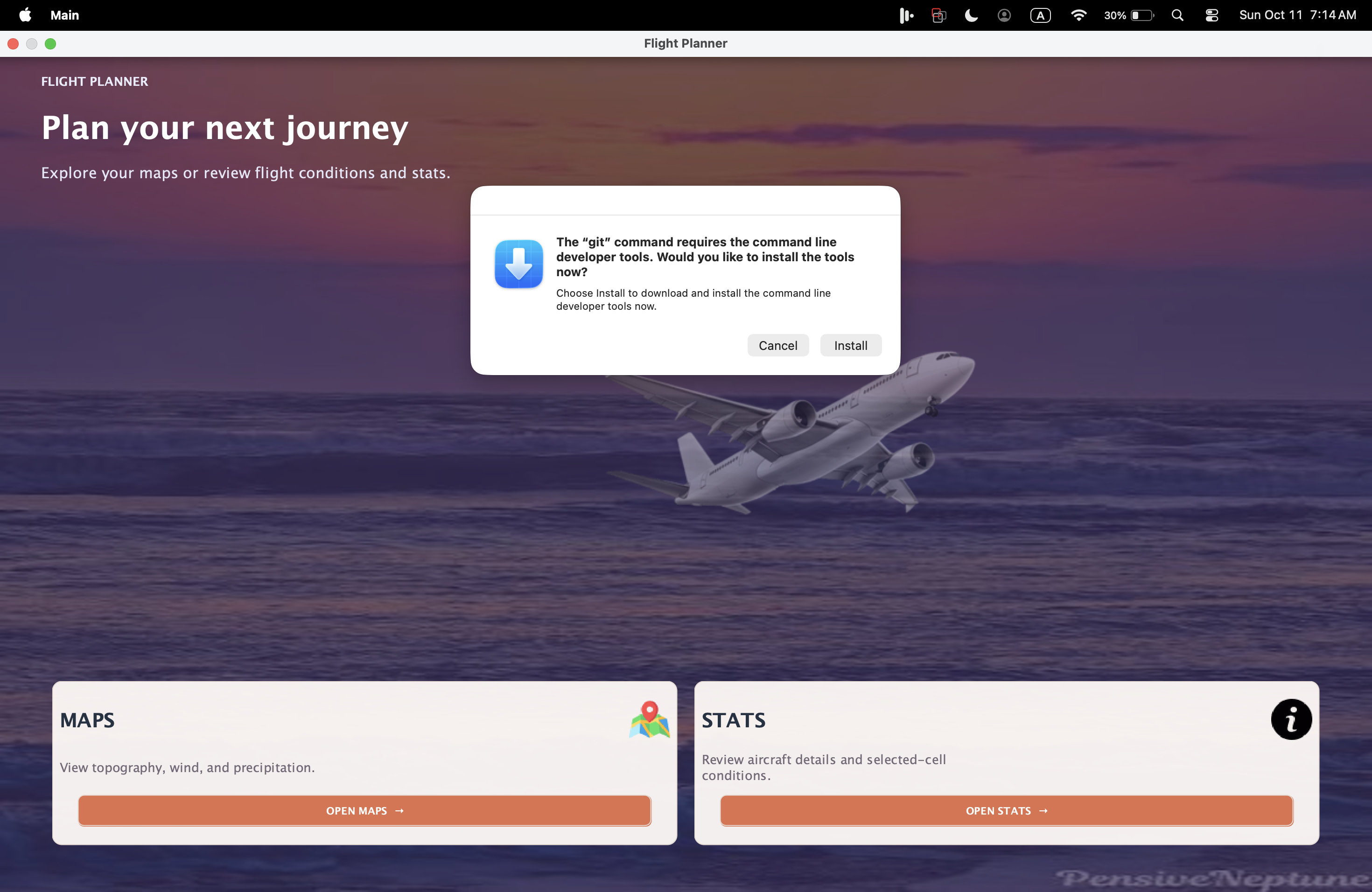
Starting Screen (please ignore pop up, computer issues unrelated to code)
-
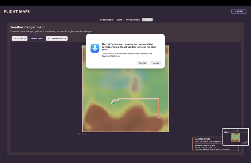
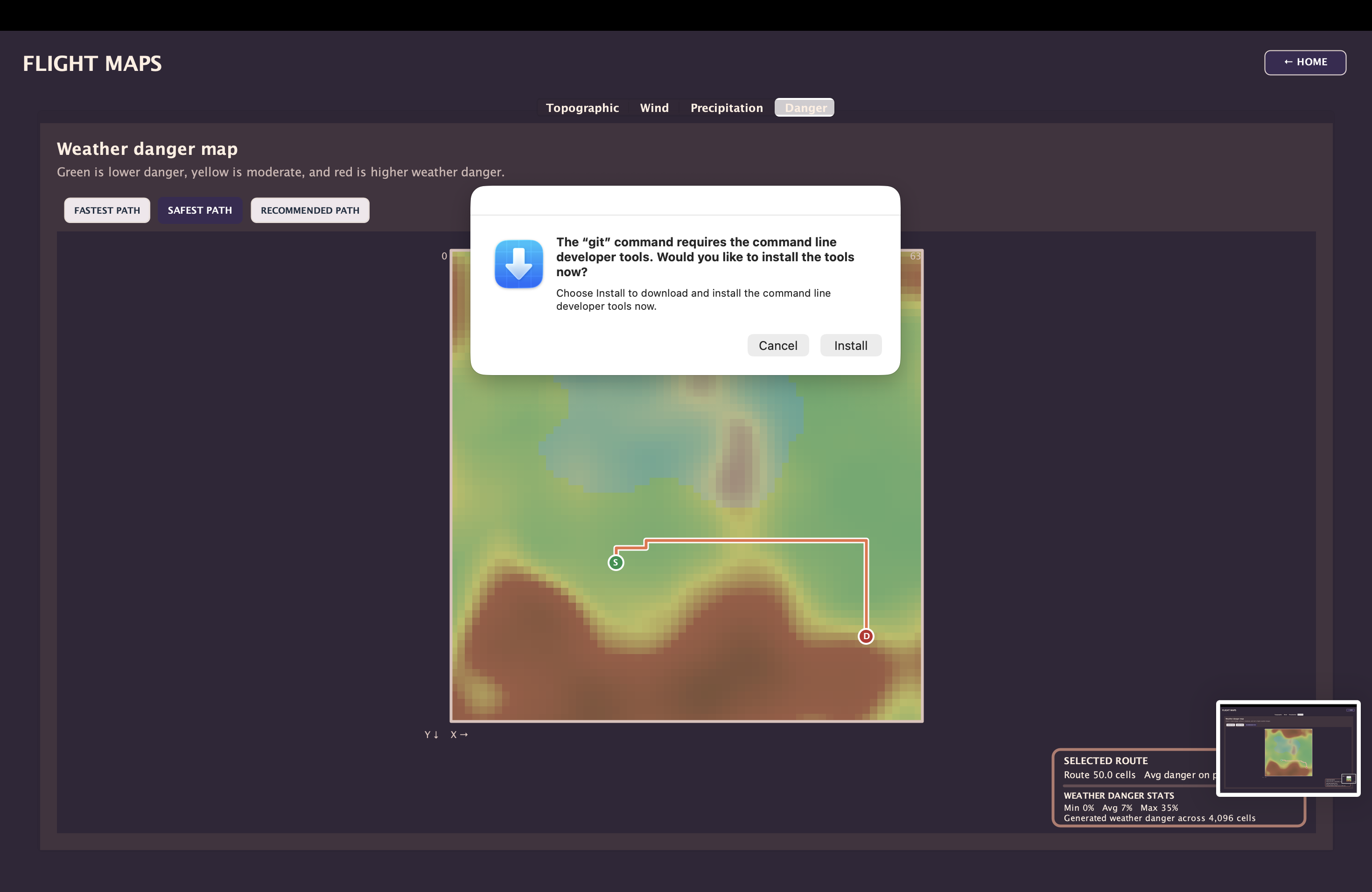
Danger Mapping Safest route
Inspiration
We were inspired by the utility of Google Maps and how helpful uit is for people navigating on land, be it walking, driving, biking, or even by train. We wanted to make a similar tool for pilots.
What it does
The application uses generated topographical, weather, and wind conditions to generate the best flight path based on danger, speed, and fuel efficiency.
How we built it
We are not very experienced coders, so we took a lot of help along the way with debugging and the complex algorithms that we were required to implement. We built feature by feature, and did batches of tests that helped to debug a lot of the code that was not working. We used VS Code as our primary coding tool, taking advantage of CoPilot to help fill in our coding gaps however features and design were purely our own ideas.
Challenges we ran into
The code would not work half the time, so we spent hours debugging our code and fixing old features before we started any new features. We wanted to implement a lot of things, but could not do them all and so we have a few ideas left over. A lot of these bugs were attributed to multiple people working on different files at once, and a lack of dependencies for different classes.
Accomplishments that we're proud of
We coded a lot, and based on how our simulation runs now, we're proud of ourselves for being able to even dream up of this cool of a project, and we are also proud of ourselves for persevering when things didn't go quite right and making sure we cleaned up every nook and cranny of our code. We are proud of how long we were able to work and how rapidly our progress accelerated after midnight
What we learn
We learned how do design cool GUIs, how to code Dijkstra's Algorithm, Perlin Noise, BFS, how to manage a truly humongous project and how to debug quickly and effectively. We learned how to leverage AI properly in object oriented projects like this using CoPilot
What's next for AirMaps
We don't plan to update this software in the future, but if we feel like something's missing, we might pop back in and add more features. We also hope that this can get implemented in all aircraft and airports as it could remove human error from the pathfinding equation. We may fork this project for future projects :)
Built With
- copilot
- java
- visual-studio


Log in or sign up for Devpost to join the conversation.