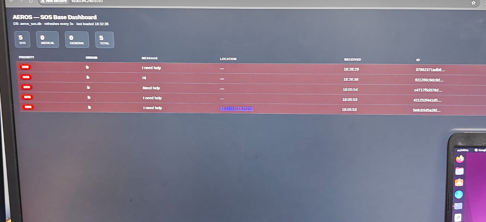
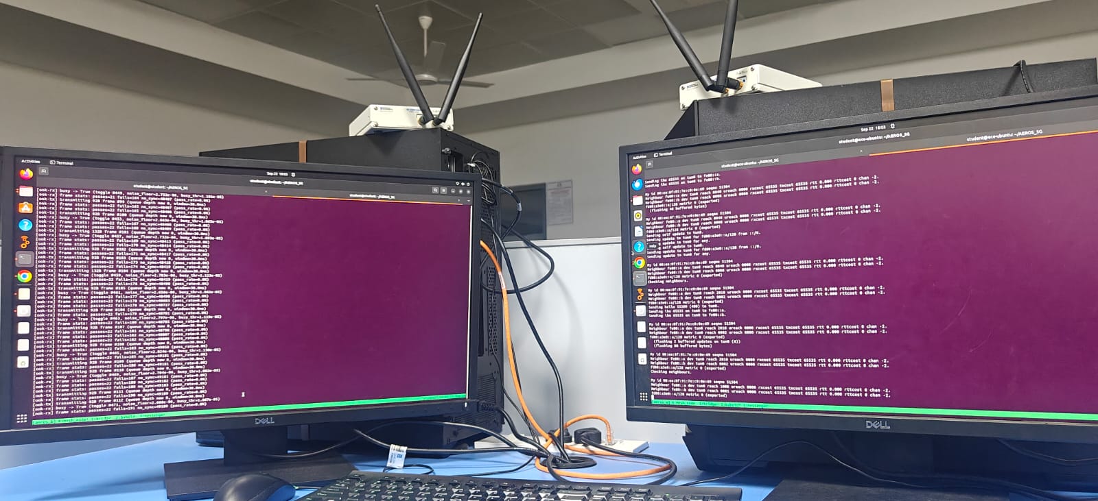
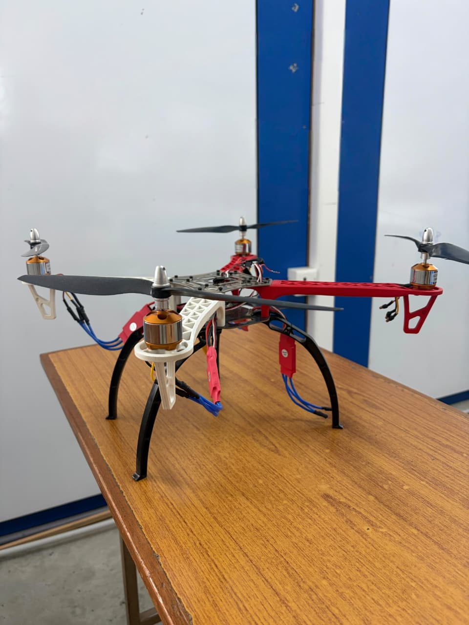
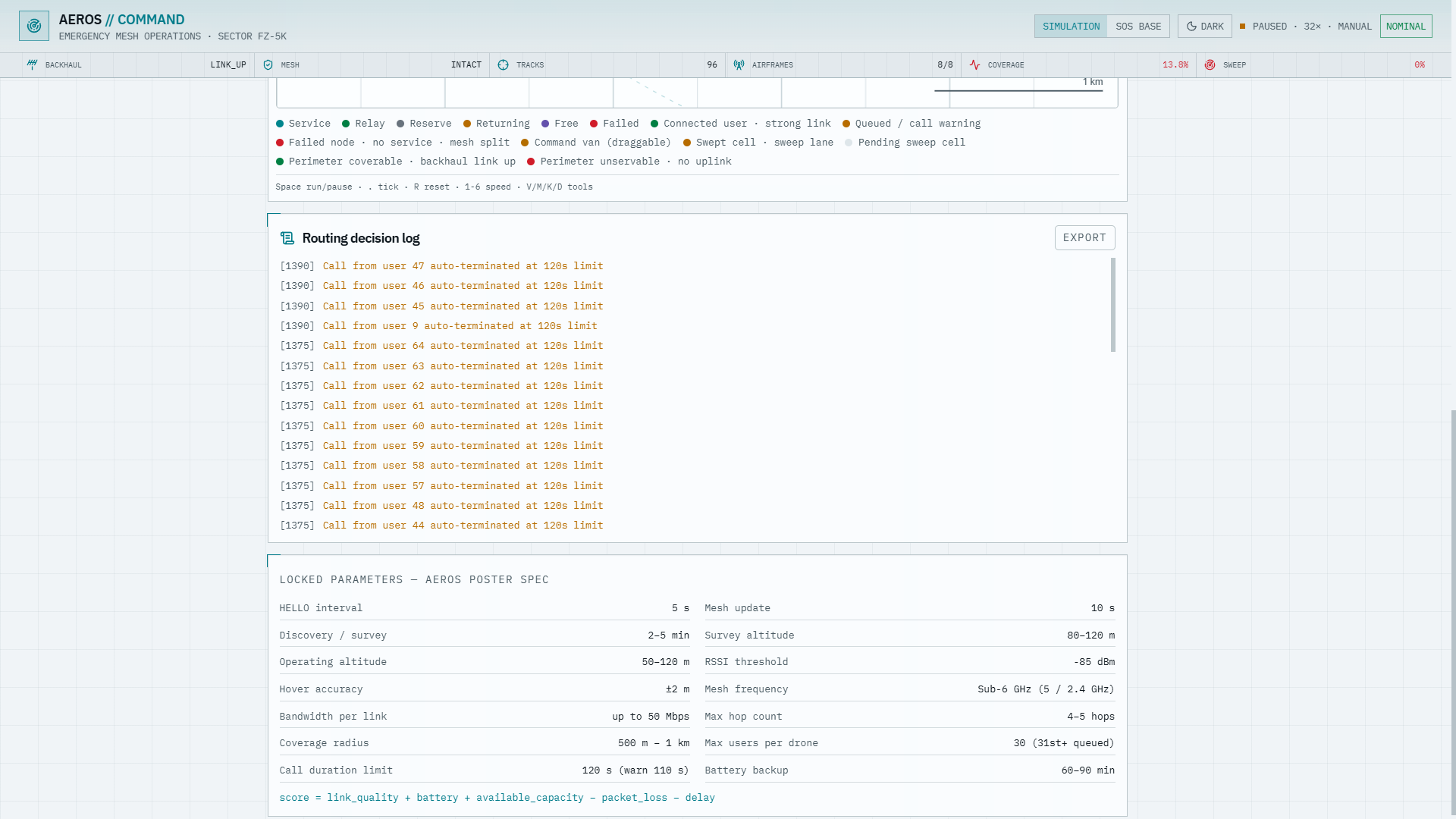
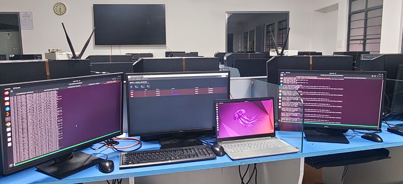
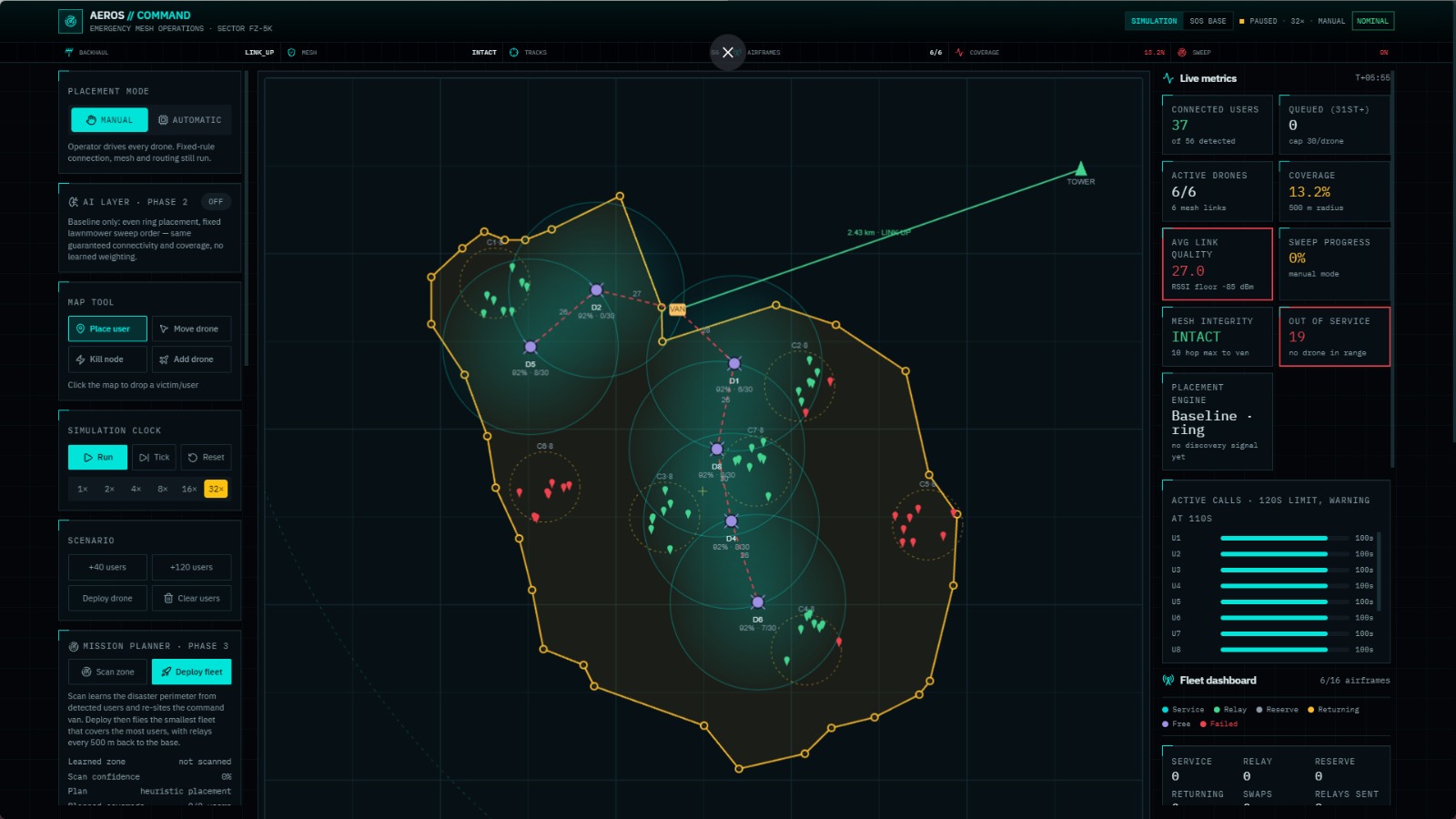
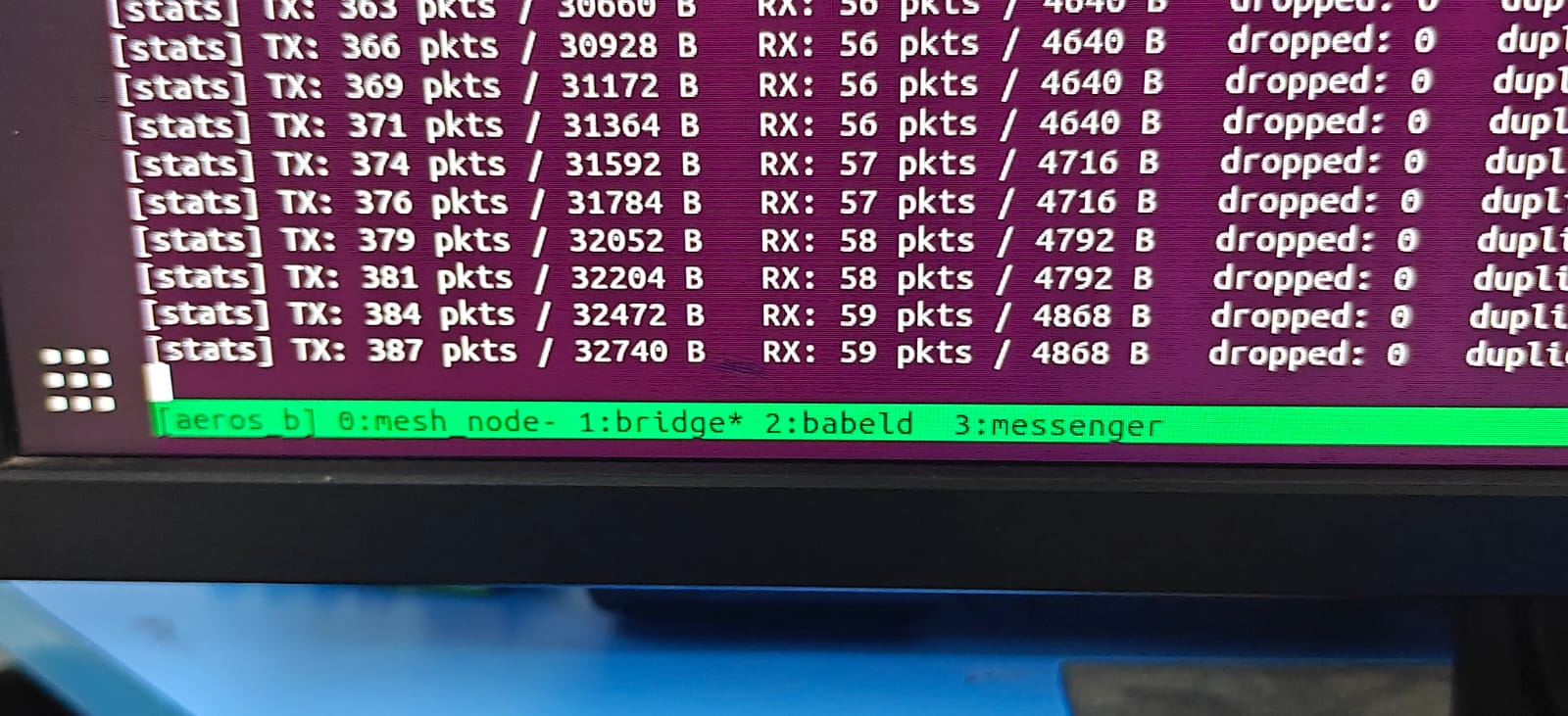
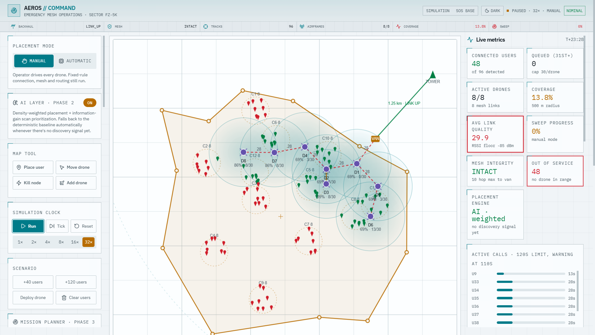
SkyMesh is an AI-powered autonomous UAV system designed to enable intelligent navigation and positioning in disaster environments, where conventional navigation and communication infrastructure may be unreliable or unavailable. In disaster zones such as collapsed structures, floods, landslides, and industrial accidents, UAVs must navigate dynamically while maintaining accurate position awareness and safely reaching areas that may be difficult or dangerous for rescue personnel. The core of SkyMesh is an AI-assisted autonomous navigation system that enables the UAV to make navigation decisions based on its surrounding environment and onboard sensor information. Instead of relying solely on predefined paths or manual control, the system uses onboard perception and sensor data to support autonomous positioning, obstacle-aware movement, and adaptive navigation. The UAV integrates its flight controller with sensors such as GPS, IMU, and LiDAR to understand its position, orientation, and surrounding obstacles. The AI navigation layer processes the available environmental and positional information to assist the UAV in determining where it is, identifying potential obstacles, and maintaining the required trajectory during autonomous flight. This allows the UAV to operate more effectively in complex environments where fixed waypoint navigation alone may not be sufficient. The goal is to improve autonomous positioning, navigation reliability, and operational safety while reducing the dependence on continuous human piloting. SkyMesh further integrates the autonomous UAV with a resilient aerial communication network. Multiple UAVs can act as relay nodes to maintain communication between the autonomous survey UAV and a mobile command station when direct communication is unavailable. This allows navigation information, UAV telemetry, and rescue-related data to continue reaching the command center even when terrestrial communication infrastructure is damaged. The system therefore combines AI-based autonomous navigation, onboard sensing, UAV positioning, obstacle awareness, and resilient aerial communication into a unified disaster-response platform. The primary objective is to enable UAVs to autonomously navigate and maintain situational awareness in challenging disaster environments while providing a reliable communication link for rescue coordination. SkyMesh aims to demonstrate how AI can transform UAVs from remotely operated aerial platforms into intelligent autonomous systems capable of understanding their environment, determining their position, navigating safely, and maintaining connectivity during disaster response operations.
AI-Powered UAV for Intelligent Navigation & Response
AI-driven autonomous navigation for precise UAV positioning in disaster zones with resilient aerial communication
Updates

Leave feedback in the comments!
Log in or sign up for Devpost to join the conversation.