-
-
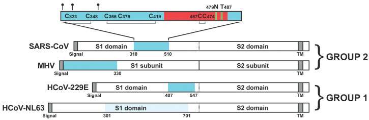
Protein structure mapping in a reasearch paper from wenhui Lei

Inspiration
The inspiration behind this started with finding the source of this whole COVID19 issue and also reading news about how wildlife are getting affected in Africa
What it does
The Machine learning, learns the protein structure of different animals, so we do data minining of those proteins structures, then map it with ACE2 to find which animals could be easily be a transmitter or animals which could be infected. The other part of the application maps the wildlife spread in any given country. The third module matches the protein list with map and provides red zones. The application of this can be used in two areas 1) To find areas which are red zones, or areas which could be risky so an alerts can be triggered by mapping recent death rates of any place and association of its disease 2) To find areas which are red zones, to protect the wild life by isolating animals or in future if there is a vaccine founded then animals(elephants) in that zone could be protected with plan.
How I built it
The app is still in development, we built it using the team of developers, designers and Big data analyst We used Python for Backend development, nodejs, d3 for Front end mapping and 3D data visualisation.
Challenges I ran into
The data mining of different areas, data accuracy are biggest challenges, the more data we mine in the better the ML will be.
Accomplishments that I'm proud of
We learned that mapping protein level of animals to potential carriers and to geography location is a complex logic which we figured out. We also found out that this could be used for any other COVID related disease
What I learned
We are technical people, by doing this project we learned a lot about animal protein structure and also a lot about how much endangered species in wildlife needs to be protected
What's next for AI For Wildlife
Improving data accuracy, improving infrastructure to support big data minning, getting advice from virologist.

Log in or sign up for Devpost to join the conversation.