
AI-Driven City Sanitation Watch System (Shehr Nazar)
Inspiration
This project didn't start with a hackathon brief — it started with a headline no one should have to read twice: children falling into open, unmarked manholes in Lahore and losing their lives to something as preventable as a missing cover or an unreported hazard. Every time it happens, the same pattern repeats — the manhole had been open for days, someone probably saw it, maybe even complained, and the complaint sat buried in a call center log or a WhatsApp group with no way to know it was near a school, in a flood-prone street, or urgent at all. That gap — between a citizen noticing danger and the city actually acting on it in time — is what we set out to close. Shehr Nazar exists so that the next open manhole gets flagged, located, prioritized, and fixed before it becomes another preventable tragedy, not after.
What it does
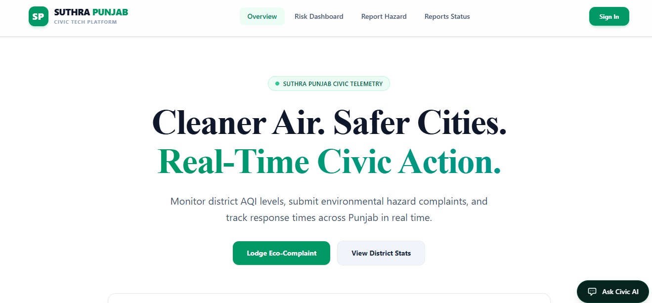
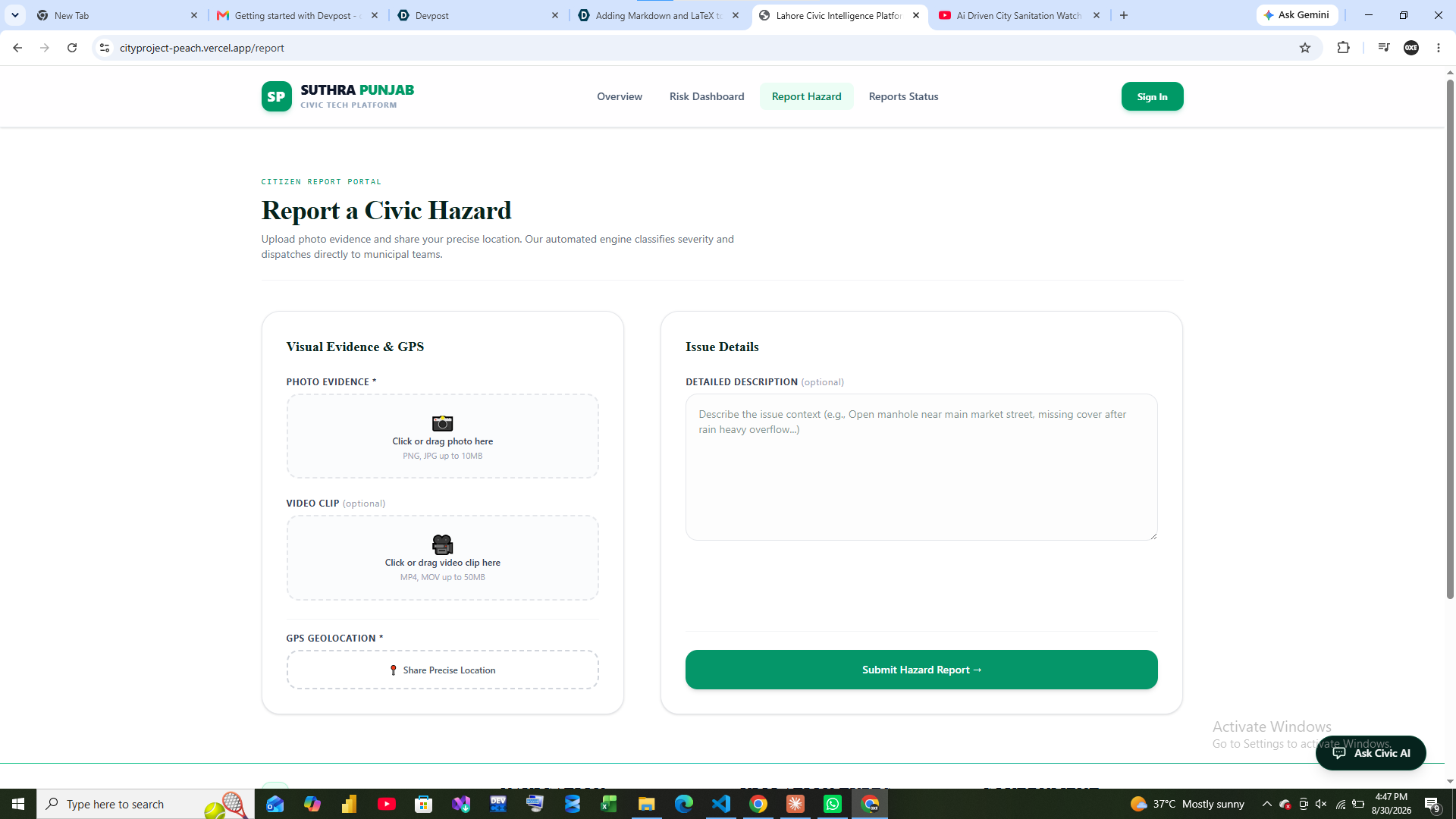
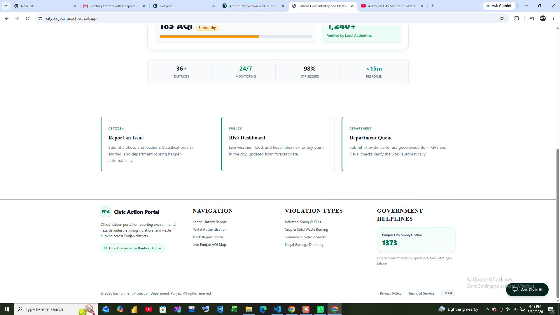
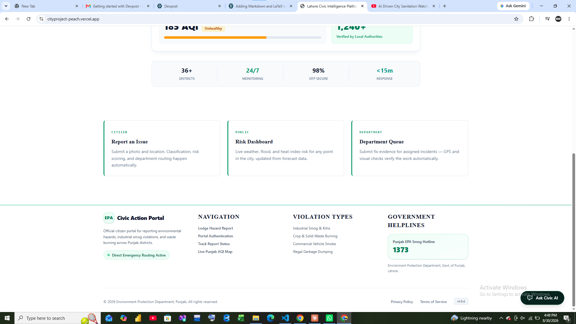
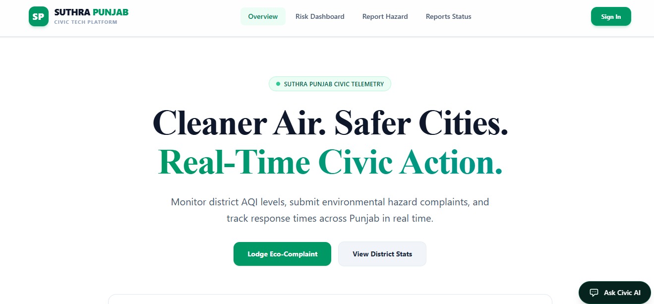
Shehr Nazar is a civic intelligence platform that turns a citizen's photo or short video of a hazard — starting with open manholes — into a verified, location-aware, risk-scored alert. The moment someone reports:
- AI classifies the hazard and estimates severity from the photo/video itself
- The location is auto geo-tagged and cross-checked against nearby schools, hospitals, and population density (WorldPop)
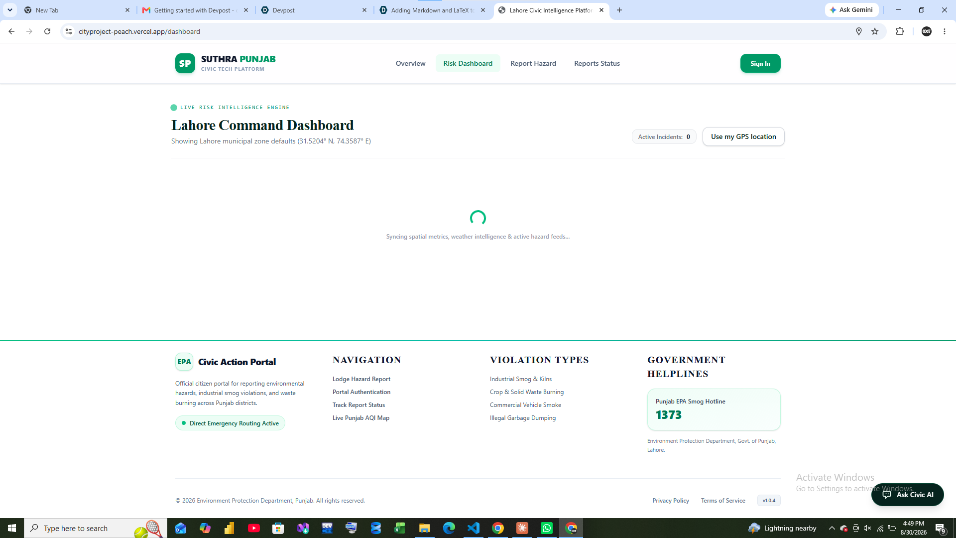
- The system checks if the spot sits in a flood-prone zone and whether rain is forecast in the next few hours (Open-Meteo)
- A transparent Civic Risk Score ranks the report against every other open issue in the city — not just "one more complaint," but "fix this one first, it's 80m from a primary school and rain is coming in 4 hours"
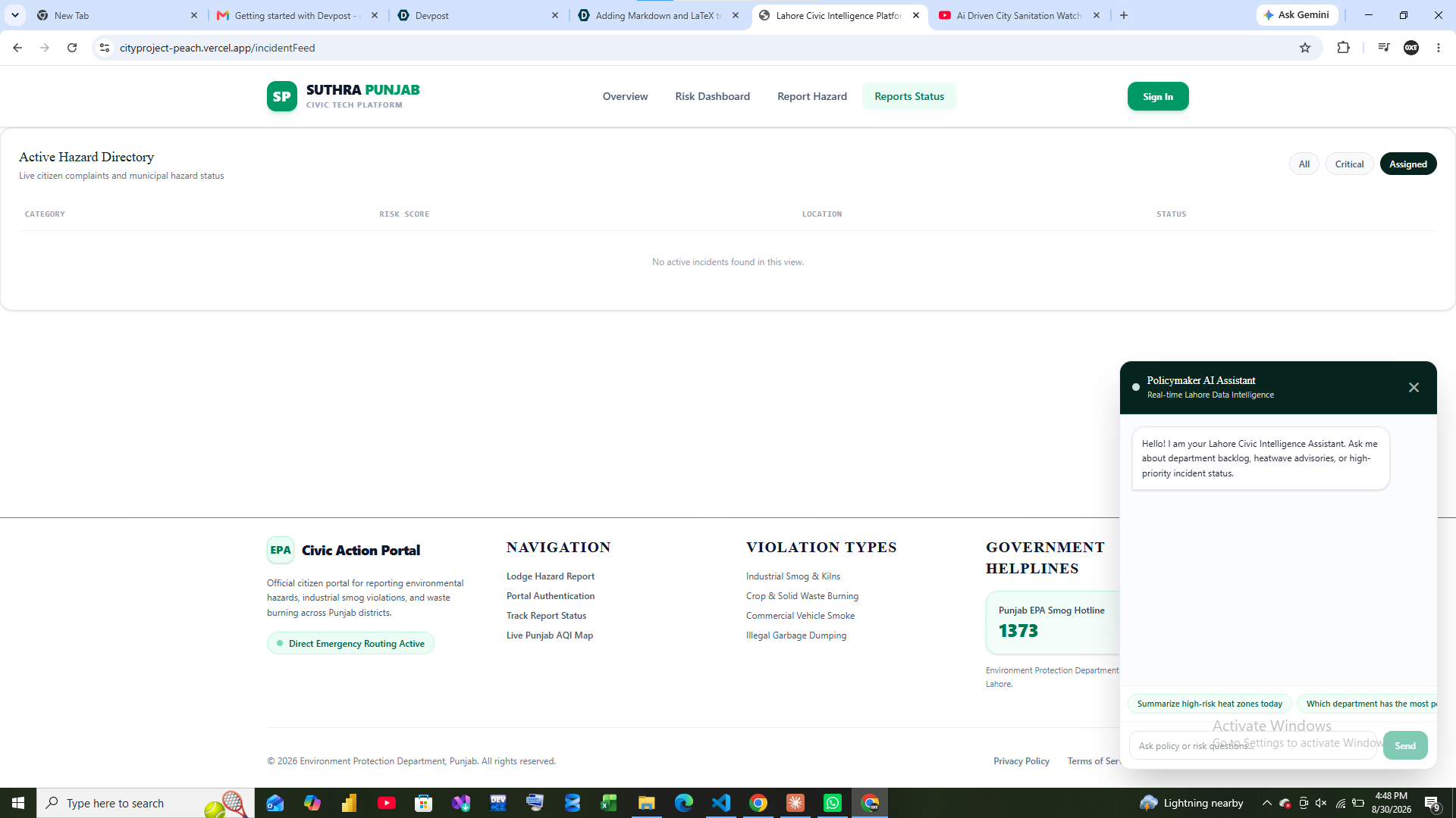
- Field teams close the loop with their own photo + video proof of the fix, which is AI-compared against the original report so a "resolved" status actually means resolved
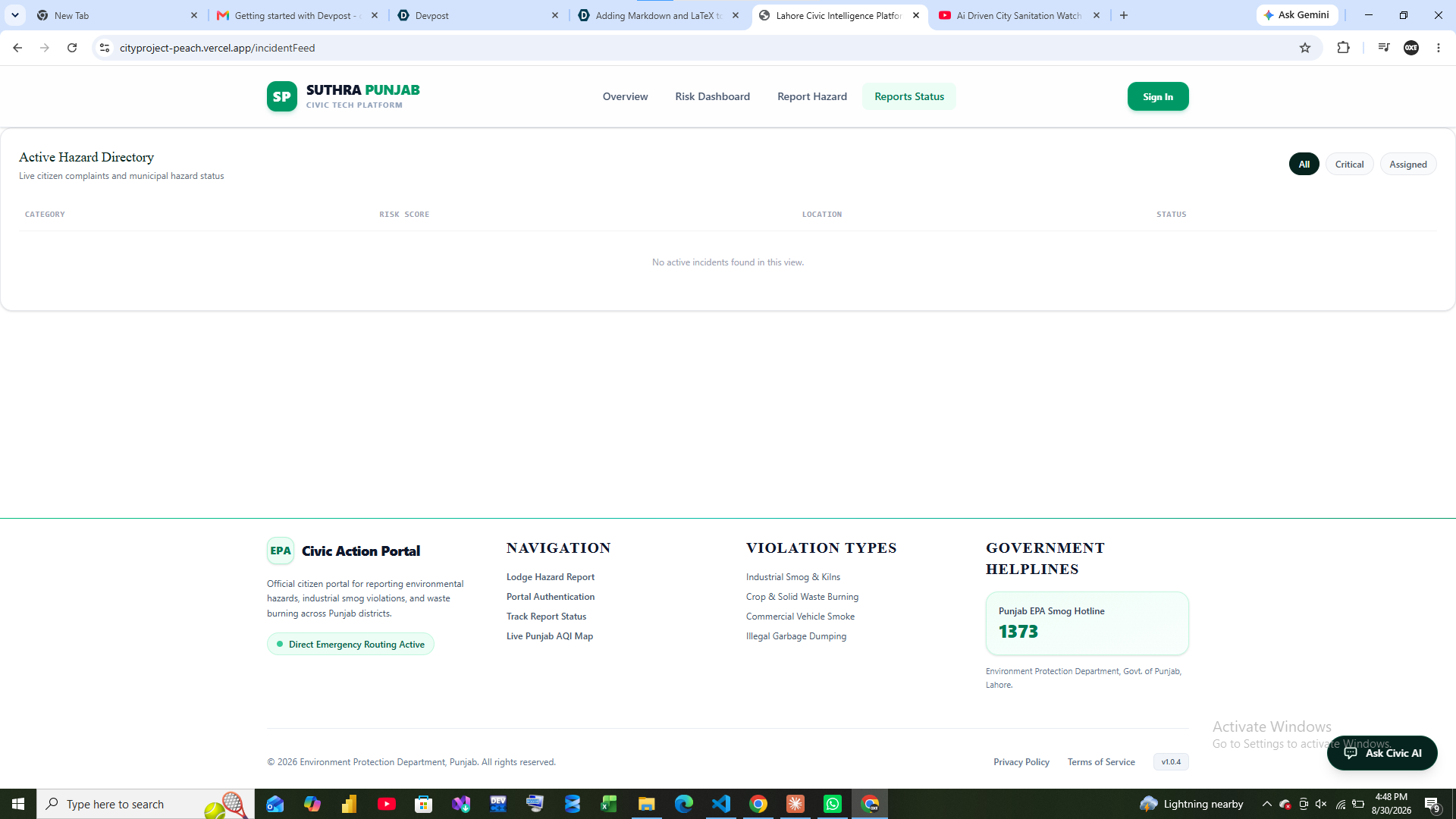
Citizens get visibility into their report and real-time area risk; government gets a ranked, explainable, evidence-backed priority list instead of a flat queue of unread complaints.
How we built it
We treated the manhole-death problem as the sharpest, most demonstrable slice of a bigger idea: that Lahore's civic data already exists, it's just scattered and disconnected. We built around one core loop — Report → Verify → Understand → Predict → Prioritize → Act → Verify → Learn — and stitched together:
- A citizen-facing capture flow for photo/video hazard reporting with geo-tagging
- An enrichment layer pulling in OpenStreetMap (schools, hospitals, roads/drainage), WorldPop (population exposure), and Open-Meteo (rainfall forecasting)
- A risk-scoring engine that combines hazard severity, proximity to vulnerable sites, population exposure, and weather escalation into one explainable number
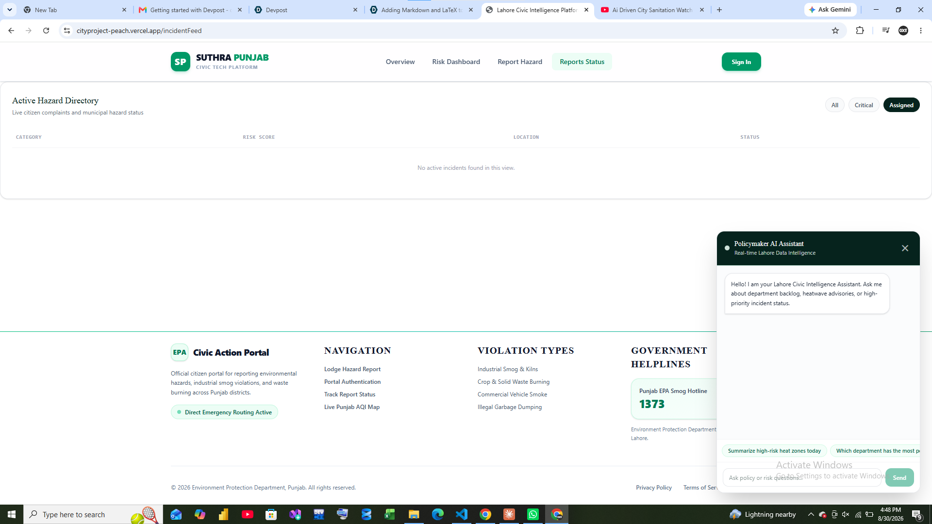
- A government dashboard surfacing the ranked list with the "why" behind every priority, not a black-box score
- A verification step using photo + video comparison, both at report time (to cut fake/duplicate submissions) and at resolution time (to stop status toggles from being trusted blindly)
Challenges we ran into
- Turning a raw photo/video into a reliable severity classification without over- or under-flagging real danger
- Merging data sources that were never designed to talk to each other — weather, geography, population, and citizen reports all live in different formats, resolutions, and update frequencies
- Designing a risk score that's genuinely explainable to a government official under time pressure, not just an opaque AI number they have to trust blindly
- Making photo/video verification strict enough to catch fake or recycled reports, without making it so heavy that a citizen gives up mid-report
- Keeping the system useful for people without steady 4G — a flood alert that only reaches smartphone users with data isn't actually reaching the city
Accomplishments that we're proud of
- Proving the full loop end-to-end on a single, painfully real use case — open manholes — instead of building a shallow demo across ten features
- Making the risk score transparent and auditable: every ranked incident shows its own reasoning, not just a number
- Building photo and video verification into both ends of the loop — at reporting and at resolution — so the system isn't just collecting complaints, it's actually trustworthy evidence
- Designing the architecture so flood, heatwave, and air quality intelligence plug into the same core without rebuilding it — this isn't a one-off tool, it's a foundation
- Staying anchored to why we built this at all: a preventable child death is the bar we measured every decision against
What we learned
- The hardest part of civic tech isn't collecting data — it's fusing it and making the fusion trustworthy enough for someone to act on under pressure
- Verification (photo + video, before/after) matters as much as detection; a system that can be gamed with a stale photo won't survive contact with a real city
- Population-weighted risk changes decisions in a way flat severity scores don't — a hazard near 20,000 people has to outrank one near 200, every time
- Designing for the citizen who doesn't have reliable 4G is not an edge case in Lahore — it's a core requirement, not an afterthought
What's next for AI Driven City Sanitation Watch System
- Expand beyond manholes to the full sanitation and drainage hazard set — blocked drains, broken covers, sewage overflow
- Turn on the Heatwave and Air Quality Intelligence modules, already architected into the same core
- Extend alerts beyond the app to SMS and automated voice calls, so warnings reach citizens regardless of connectivity
- Pilot directly with a city ward or municipal sanitation department to validate the Civic Risk Score against real response times
- Build out the recurring-hotspot detection so the system starts predicting where the next unreported hazard is likely to appear, before a citizen even files it

