-
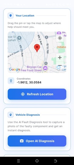
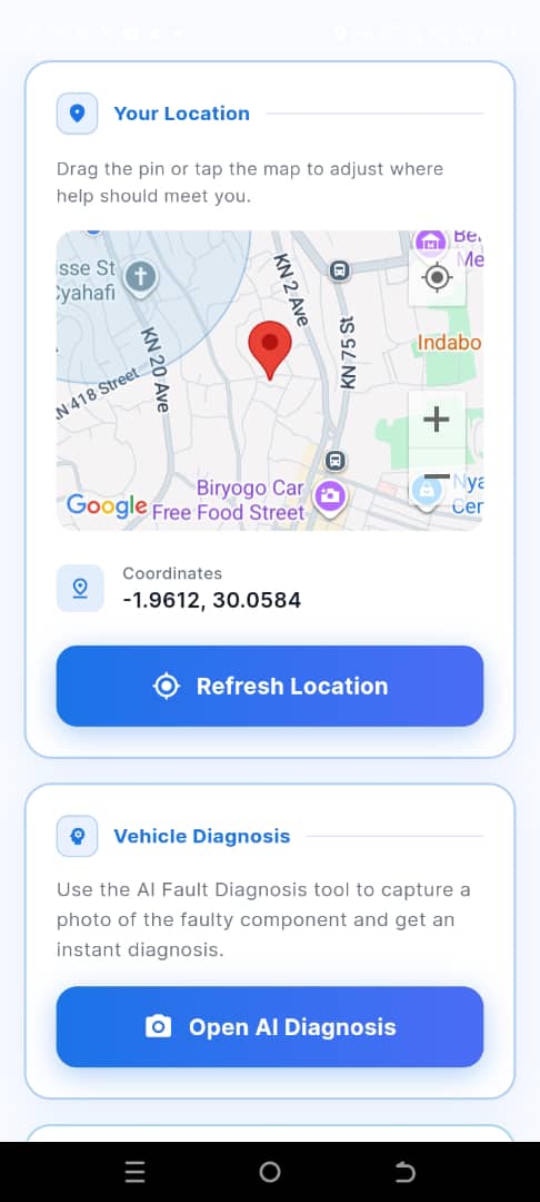
maps APIs
-
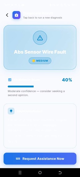
AI diagnostic fault
-
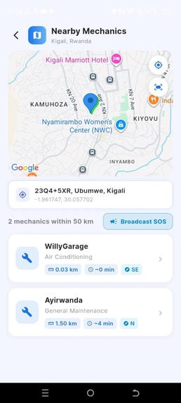
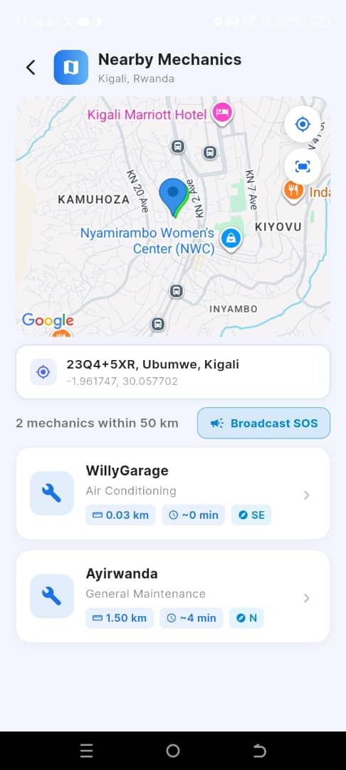
nearby mechanics
-

AI chart board


Vehicle breakdowns in Rwanda, especially in rural and low-connectivity areas, often cause delays, safety risks, and miscommunication between drivers and mechanics due to the lack of reliable roadside assistance systems. This project aimed to develop an AI-based roadside assistance mobile application using Geographic Information System technology to provide offline vehicle fault diagnosis, real-time communication, and nearby garage discovery. The study used data collected from professional mechanics to train and evaluate machine learning models for vehicle fault prediction, while Flutter, Firebase, SQLite, and Google Maps SDK were used for system development. The findings revealed that the Neural Network model achieved the best diagnostic performance and was successfully integrated into the application for offline use. The developed system was able to predict vehicle faults within seconds, support chat and image sharing between drivers and mechanics, and help users locate nearby garages within a 1 km radius, even without internet connectivity. The results demonstrate that the integration of Artificial Intelligence and Geographic Information Systems can significantly improve roadside emergency support services in Rwanda.

Log in or sign up for Devpost to join the conversation.