-
-
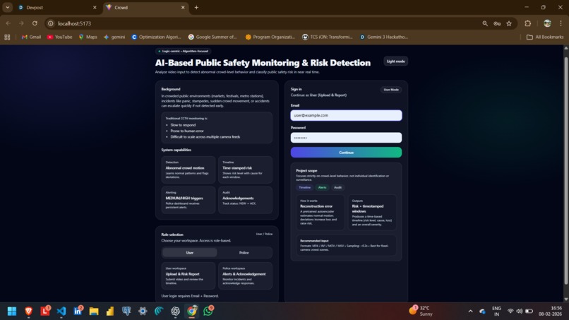
user authentication
-
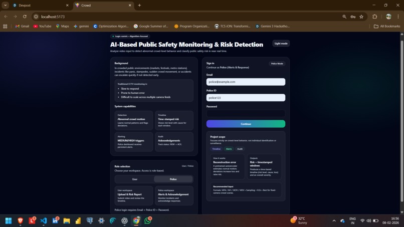
government authentication

Inspiration
Public spaces today are increasingly vulnerable to risks such as overcrowding, violence, accidents, and delayed emergency response. Most monitoring systems only observe but fail to understand situations. Our inspiration was to build a system that can analyse cause and effect in real-world scenes, not just detect objects, and help authorities act before incidents escalate.
What it does
The AI-Based Public Safety Monitoring and Risk Detection System is a geospatial, AI-powered platform that:
- Analyzes uploaded or live images and videos
- Understands spatial and temporal patterns such as crowd density, abnormal behavior, and motion flow
- Detects potential safety risks such as overcrowding, aggressive movement, or unusual activity
- Maps incidents to real-world locations & provides real-time notifications to user about that place
- Sends real-time alerts to nearby authorities or admin dashboards
The system focuses on early warning and faster decision-making for public safety.
How we built it
We built the system using a modular architecture:
- Computer Vision and spatial-temporal AI for frame-level and sequence-level analysis
- Gemini models to reason about scenes, context, and cause–effect relationships
- Geospatial mapping to associate detected risks with real-world locations
- Backend APIs to process video and image data and generate alerts
- Frontend dashboard for visualization of incidents and risk zones
The system is designed to be scalable and adaptable for real-time deployment.
Challenges we ran into
- Understanding cause-and-effect instead of simple object detection
- Handling crowded scenes where individual detection becomes difficult
- Optimizing video frame processing for performance
- Designing alerts that are useful and not noisy
- Mapping visual insights accurately to geographic locations
Each challenge helped us refine both our models and overall system design.
Accomplishments that we are proud of
- Successfully implemented spatial-temporal understanding of video data
- Integrated AI-based reasoning instead of rule-based detection
- Built a complete end-to-end prototype
- Designed a system focused on prevention rather than reaction
What we learned
- Real-world safety problems require context-aware AI rather than basic detection
- Spatial and temporal reasoning significantly improves decision quality
- System architecture is as important as model accuracy
- Ethical and responsible use of AI is critical in public surveillance systems
What is next for AI-Based Public Safety Monitoring and Risk Detection Systems?
- Live CCTV and drone feed integration
- Predictive risk scoring for high-risk zones
- Integration with emergency services such as police, hospitals, and disaster response teams
- Multilingual alerting and accessibility features
- Edge deployment for faster real-time processing
Our long-term vision is to make public spaces safer, smarter, and more responsive using AI.
Built With
- cloud
- gemini-3-api
- geo-spatial-mapping-apis
- javascript
- node.js
- opencv
- python
- react.js
- rest-apis
- spatial-temporal-ai


Log in or sign up for Devpost to join the conversation.