-
-
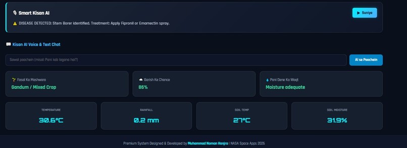
real soil test
-
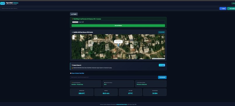
real map working and detect diesese
-
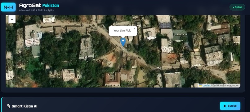
next city map
Inspiration
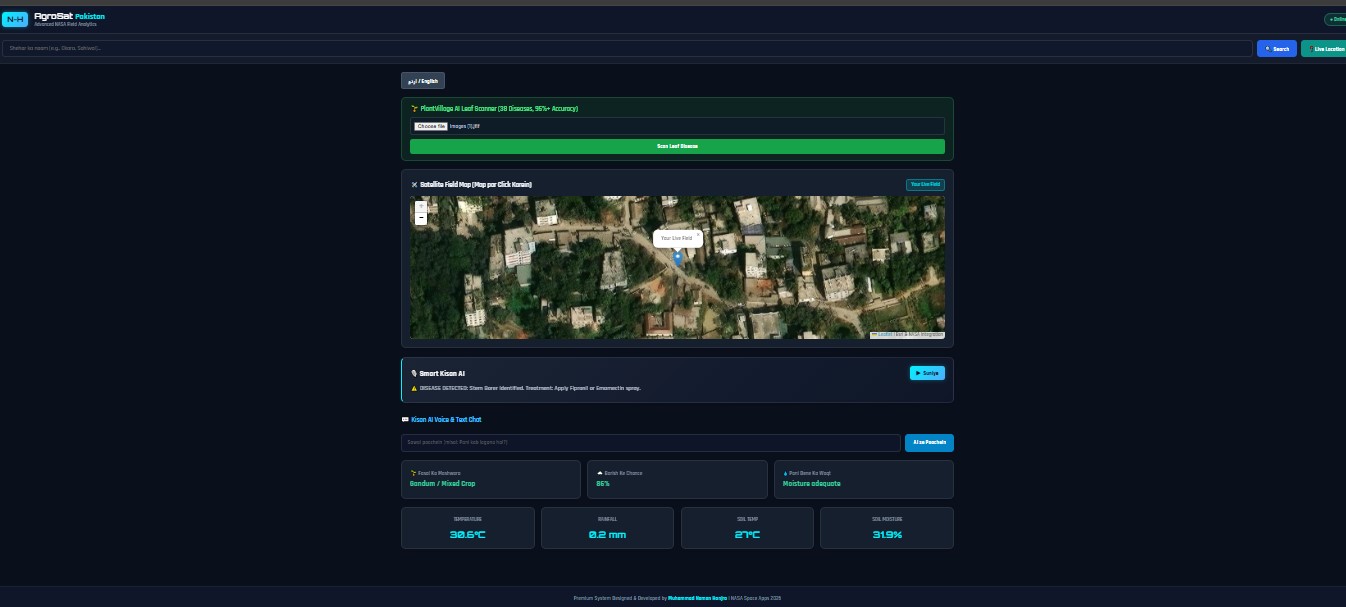
Agriculture is the backbone of Pakistan's economy, yet millions of local farmers face heavy crop losses due to unpredictable weather patterns, undetected leaf diseases, and a lack of real-time field telemetry. Most modern AgTech tools are either too complex or inaccessible due to language barriers. Inspired by these challenges, we built AgroSat Pakistan—a platform designed to bring NASA's advanced satellite data directly into the hands of local farmers in a simple, accessible way.
What It Does
AgroSat Pakistan is a web-based precision agriculture and field analytics dashboard that combines satellite imagery, local weather data, and artificial intelligence:
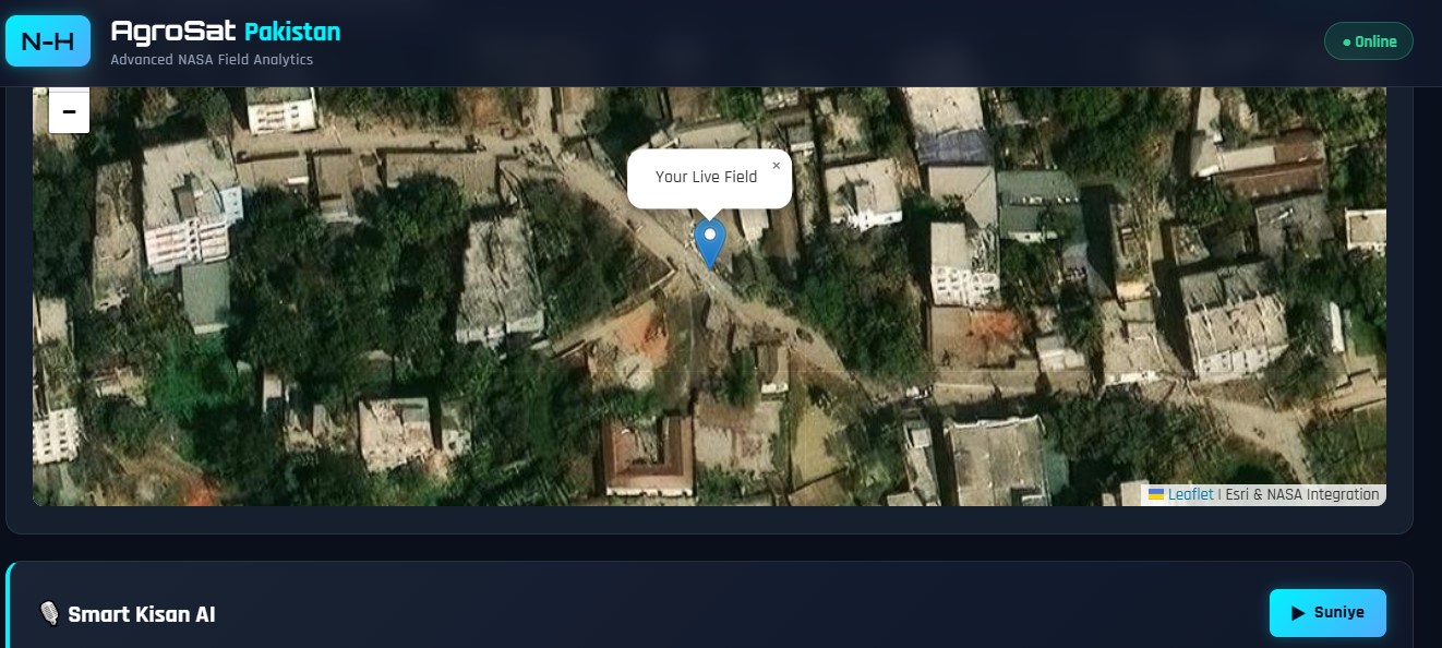
- Satellite Telemetry: Integrates NASA GIBS imagery, NASA FIRMS active fire telemetry, and NASA DONKI space weather updates on interactive Leaflet maps.
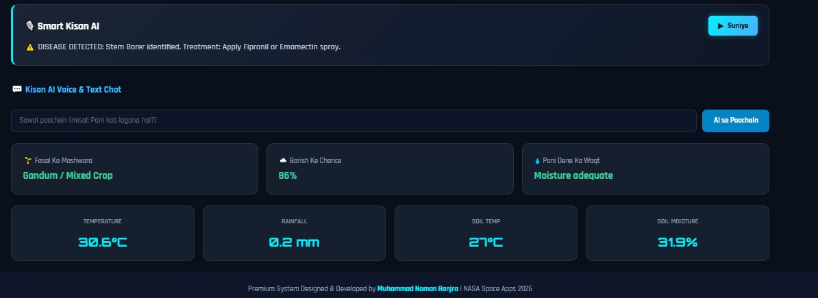
- Hyper-Local Weather & Soil Metrics: Uses NASA POWER and Open-Meteo APIs to track real-time temperature, precipitation, and soil moisture levels.
- AI Crop Disease Scanning: Employs computer vision models to detect plant leaf diseases instantly from images.
- Urdu Voice Assistant: Features an interactive Gemini API-driven chatbot with native Urdu speech synthesis, allowing low-literacy farmers to ask questions via voice commands.
How We Built It
We built AgroSat Pakistan using a modern web development stack:
- Frontend: HTML5, CSS3, JavaScript (ES6+), React, and Leaflet.js for interactive GIS satellite overlays.
- Backend & APIs: Node.js and Express.js connecting directly to NASA GIBS, NASA FIRMS, NASA POWER, Open-Meteo, and Google Gemini APIs.
- AI & Voice: Integrated PlantVillage-trained disease models alongside the Web Speech API for seamless Urdu voice output.
Challenges We Faced
- Data Integration: Normalizing disparate spatial coordinates and API endpoints from NASA satellite layers into a fast-loading frontend map.
- Accessibility: Designing an intuitive interface that caters to users with varying literacy levels by prioritizing voice-first AI interactions.
What We Learned
- How to parse and process real-time satellite imagery feeds (GIBS/FIRMS) for spatial mapping.
- Building accessible, multi-lingual AI interfaces that solve practical real-world agricultural problems.
Built With
- agtech
- ai
- css3
- express.js
- gemini-api
- gis
- html5
- javascript
- leaflet.js
- machine-learning
- nasa-api
- nasa-firms
- nasa-gibs
- node.js
- python
- react
- urdu-voice

Log in or sign up for Devpost to join the conversation.