-
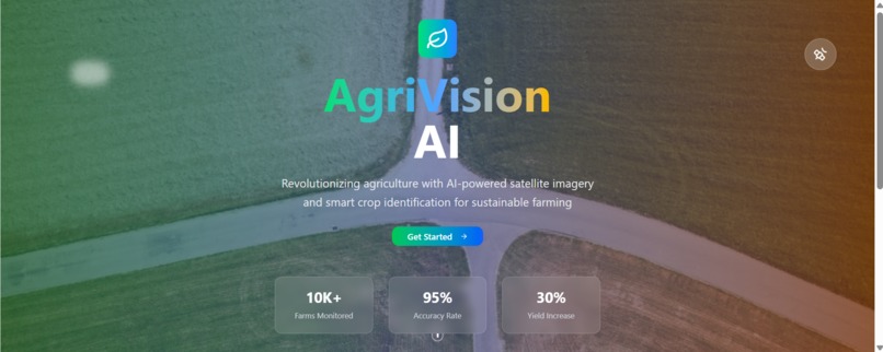
Landing page
-
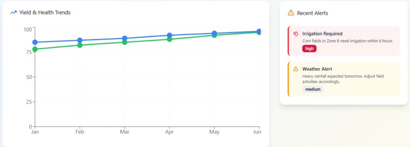
Yield and Health trends
-
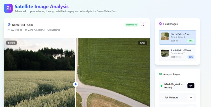
Satellite analysis
-
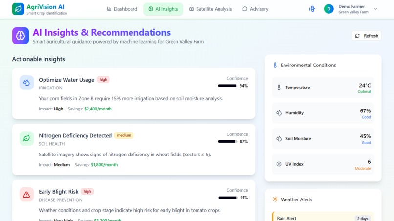
AI Insights


🌱 Inspiration
Agriculture sustains billions of lives, yet farmers often lack timely insights into crop health, soil quality, and yield prediction. I was inspired by the idea of bringing space-tech down to earth- making AI and satellite imagery accessible to even small-scale farmers. With AgriVision AI, I set out to bridge the gap between advanced technology and practical farming needs.
🌾 What it does
AgriVision AI identifies crops from satellite images, monitors their growth, and provides actionable insights like irrigation scheduling, disease detection, and yield prediction. Farmers and agronomists can explore an interactive dashboard with real-time maps, AI-powered analytics, and chatbot-style advisory support, making data-driven agriculture both simple and effective.
🛠️ How I built it
Frontend: React with responsive Figma-inspired designs for dashboard & mobile.
Backend: Supabase for real-time storage, authentication, and APIs.
AI/ML: Deep learning models for crop classification and predictive analytics.
Data Sources: Integrated satellite imagery APIs (e.g., Sentinel Hub) to fetch NDVI & vegetation indices.
Visualization: Interactive charts, maps, and before/after image comparisons.
🧮 Math Behind Crop Health (Example)
I used Normalized Difference Vegetation Index (NDVI) to measure crop health:
$$ NDVI = \frac{(NIR - RED)} {(NIR + RED)} $$
Where:
- NIR = near-infrared light reflected by vegetation
- RED = red light reflected by vegetation
Higher NDVI values (≈ 0.6–0.9) indicate healthier crops 🌱.
🚧 Challenges I ran into
Processing large-scale satellite data efficiently without exceeding API limits.
Making complex AI outputs understandable for non-technical users.
Ensuring performance and mobile usability in low-connectivity rural areas.
Balancing accuracy with real-time responsiveness.
🏆 Accomplishments that we're proud of
Built a working prototype that combines satellite imagery with AI insights.
Designed a farmer-friendly dashboard with animations, interactivity, and advisory support.
Successfully integrated real-time data pipelines with Supabase.
Created a scalable foundation for expanding into IoT and multilingual support.
📚 What we learned
How to work with geospatial datasets and vegetation indices like NDVI.
Techniques for designing AI interfaces that prioritize clarity and trust.
The value of user-centric design, especially when building for rural communities.
Balancing cutting-edge AI with practical usability in agriculture.
🔮What's next for AgriVision AI: Smart Crop Identification from Space
Connect to IoT sensors for soil moisture and weather monitoring.
Expand AI features with predictive analytics and automated scheduling.
Add multilingual support for global accessibility.
Partner with agri-tech companies to deploy at scale.
Build a sustainability score to encourage eco-friendly farming practices.
Built With
- api
- figma
- github
- javascript
- opencv
- openweather
- python
- sql
- streamlit
- superbase
- tensorflow
