-
-
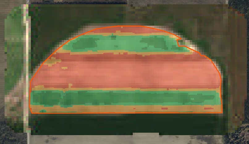
NDVI Image shows crop health
-
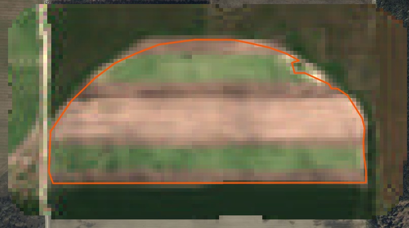
Satllite image


Inspiration We were inspired by the lack of simple tools to monitor crop health in real time. Farmers often don’t have access to timely alerts without expensive sensors or manual scouting.
What it does AgriPulse fetches recent Sentinel-2 satellite images, calculates NDVI to measure vegetation health, and sends alerts via AWS services if the NDVI is too low, indicating potential crop stress.
How we built it We built it using AWS Lambda, S3, EventBridge, and SNS. One Lambda downloads satellite imagery daily and stores the Red and NIR bands in S3. A second Lambda, triggered by new S3 uploads, computes NDVI with rasterio and sends alerts when needed.
Challenges we ran into Packaging geospatial libraries like rasterio and shapely for Lambda was challenging. Filtering Sentinel-2 data for low cloud cover and ensuring the correct bands were available also required careful handling.
Accomplishments that we're proud of We created a fully functional, serverless pipeline that processes real satellite data, analyzes crop health, and provides automated alerts—all without the need for traditional infrastructure.
What we learned We learned how to build event-driven workflows in AWS, handle geospatial data within Lambda’s constraints, and integrate multiple AWS services to create a scalable and cost-effective monitoring system.
What's next for AgriPulse: Serverless Crop Stress Detector Future enhancements include adding visual NDVI maps and dashboards, expanding support for multiple fields using GeoJSON boundaries, and integrating machine learning models for detecting drought, pests, or yield risks.
Built With
- amazon-eventbridge
- amazon-sns
- amazon-web-services
- aws-lambda
- numpy
- pystac-client
- python
- rasterio
- sentinel-2-(earth-search-stac-api)
- serverless
- shapely


Log in or sign up for Devpost to join the conversation.