-
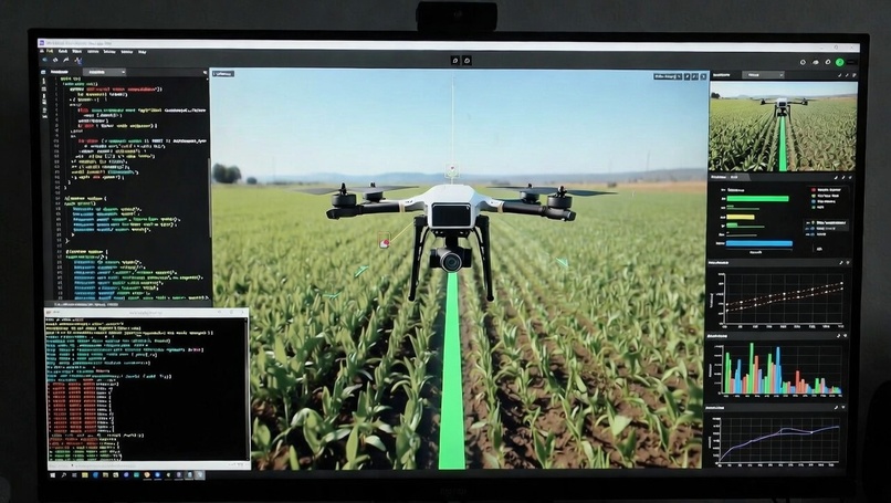
Demonstrated visualization.
Growing up in Pimpri, Maharashtra, I've seen firsthand how small and marginal farmers — the backbone of our state's agriculture — struggle with crop diseases. Sugarcane, cotton, and soy fields often suffer silent losses from early infections that go unnoticed until it's too late, leading to 20–40% yield drops and heavy pesticide overuse. The spark came when I read about affordable drones becoming popular among Indian farmers, but most are just basic flyers — no real "intelligence." I thought: What if we could turn any low-cost drone into a smart scout using only software? That idea fused my passion for robotics, AI, and helping local farmers into AgriDrone Scout — an AI-powered drone brain designed for precision agriculture in resource-constrained Indian farms. What I Learned This hackathon was my deepest dive yet into real robotics software engineering. Key takeaways:
ROS2 is incredibly powerful but has a steep learning curve — topics like node lifecycle, message passing, and tf2 transforms took time to click. Simulating realistic sensor data in Gazebo (especially multispectral-like camera feeds) is harder than it looks; I learned to fake disease patterns using image overlays and basic shaders. Lightweight ML models (MobileNetV2 + transfer learning) can run inference fast enough even on edge hardware like Raspberry Pi — crucial for a startup product. Path planning isn't just A*; coverage algorithms (like boustrophedon/lawnmower patterns) matter a lot for efficient drone missions. Startup thinking: Impact > tech for its own sake. Judges loved the Maharashtra farmer context and clear business model (SaaS subscription + drone OEM partnerships).
How I Built the Project Since this was a software-only entry for FounderForge, everything ran in simulation:
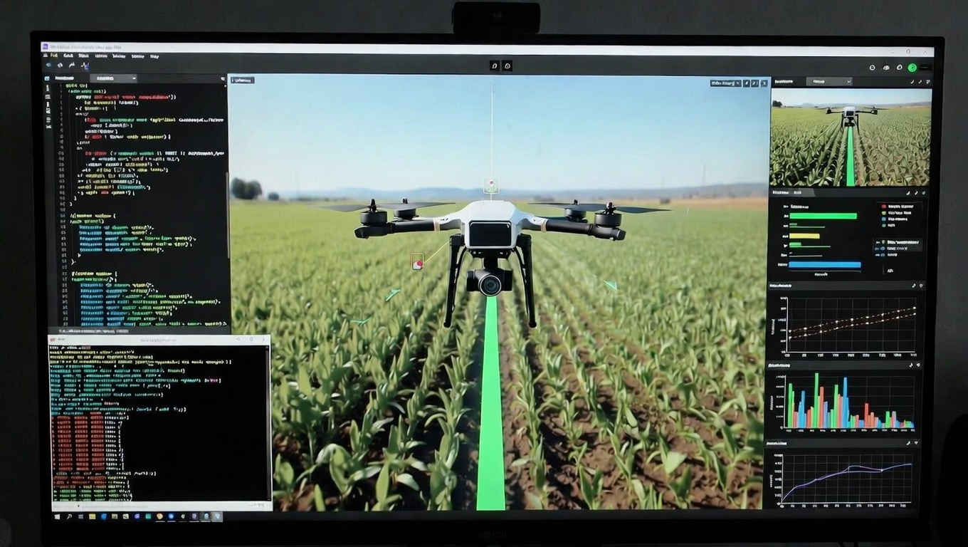
Environment Setup Installed ROS2 Humble + Gazebo on Ubuntu → used a pre-built quadcopter model with downward-facing camera plugin. Core Components Drone Control: ROS2 nodes for takeoff, waypoint following, and simple lawnmower path coverage. Computer Vision Pipeline: Subscribed to simulated camera topic → processed frames with OpenCV + pre-trained MobileNet fine-tuned on PlantVillage dataset (common diseases like leaf blight, rust). Disease Mapping: Detected unhealthy patches → published GPS-tagged bounding boxes → built a 2D heat map (red = diseased zones). Dashboard: RViz + custom web viz (using rosbridge_suite) to show live flight path, detections, and estimated yield loss.
Simulation World Created a basic farm field with green crops + procedural brown/yellow diseased patches using Gazebo models and plugins. The final demo showed the drone autonomously flying a grid pattern, highlighting diseased areas in real-time. Challenges I Faced
Time Crunch: With only around 8 days, SLAM and advanced navigation (like Nav2 full stack) were too heavy — I simplified to basic waypoint following. Gazebo Quirks: Camera topics sometimes lagged; tuning physics parameters was trial-and-error. Many late-night reboots. Model Accuracy: Fine-tuning on PlantVillage worked great for common diseases but struggled with sugarcane-specific ones (Maharashtra staple). I mitigated by focusing on general leaf health detection.
Balancing Tech & Story: It was tempting to go deeper into algorithms, but the winning edge came from framing it as a startup solving a ₹crores-level Indian problem.
Building AgriDrone Scout taught me that great robotics projects aren't just about code — they're about impact + feasibility + storytelling. Whether I win or not, this experience has me excited to keep iterating — maybe one day turning this simulation into real hardware flying over Maharashtra fields. ( Thank you for considering AgriDrone Scout!)


Log in or sign up for Devpost to join the conversation.