Afriland Scout — Devpost Submission
Project Name
Afriland Scout (TerraVision)
Category
Live Agents
Tagline
Walk your land, talk to your surveyor — an AI agent that sees, hears, and measures in real time.
Inspiration
In Nigeria and across West Africa, buying land is one of the biggest financial decisions a family will make — yet the process is opaque, manual, and riddled with fraud. Surveys are expensive, boundaries are disputed, and first-time buyers have no way to verify what they're getting. We asked: what if your phone could become your surveyor?
What it does
Afriland Scout is a real-time, multimodal AI land surveying agent. A user walks the perimeter of a plot with their phone, and the agent:
- Sees the terrain through the phone camera (1 FPS video stream)
- Hears the user through the microphone (live voice conversation)
- Records GPS boundary points as the user walks the perimeter
- Calculates precise geodesic area using WGS84 ellipsoid math (in square meters and Nigerian "plots" of 600 sqm)
- Assesses terrain and flood risk via elevation data
- Generates architectural renders of what could be built on the land
- Shows the surveyed polygon on a satellite map
The entire interaction happens in natural voice — no typing required. The agent has the persona of a calm, professional Nigerian surveyor who explains every step in plain language.
How we built it
Backend: A Python FastAPI server acts as a real-time WebSocket bridge between the browser and Google's Gemini Live API (bidiGenerateContent). The server uses the google-genai SDK to maintain a persistent bidirectional session with Gemini 2.5 Flash. Four Python tools are registered as callable functions:
record_gps_coordinate(lat, lng)— stores boundary points in session statecalculate_precise_area()— usespyproj.Geod(WGS84) for geodesic area computationget_terrain_risk(lat, lng)— elevation, slope, and flood risk lookupgenerate_architectural_render(prompt)— produces building visualizations
Frontend: A Next.js React dashboard with WebRTC integration captures microphone audio (resampled to 16kHz PCM) and camera frames (JPEG at 1 FPS), encodes them to base64, and streams them over WebSocket. Audio responses from Gemini (24kHz PCM) are decoded and played back through the Web Audio API. The UI includes a text chat input, camera preview, conversation log, and a "Show Map" button that renders the plot polygon on Google Maps satellite imagery.
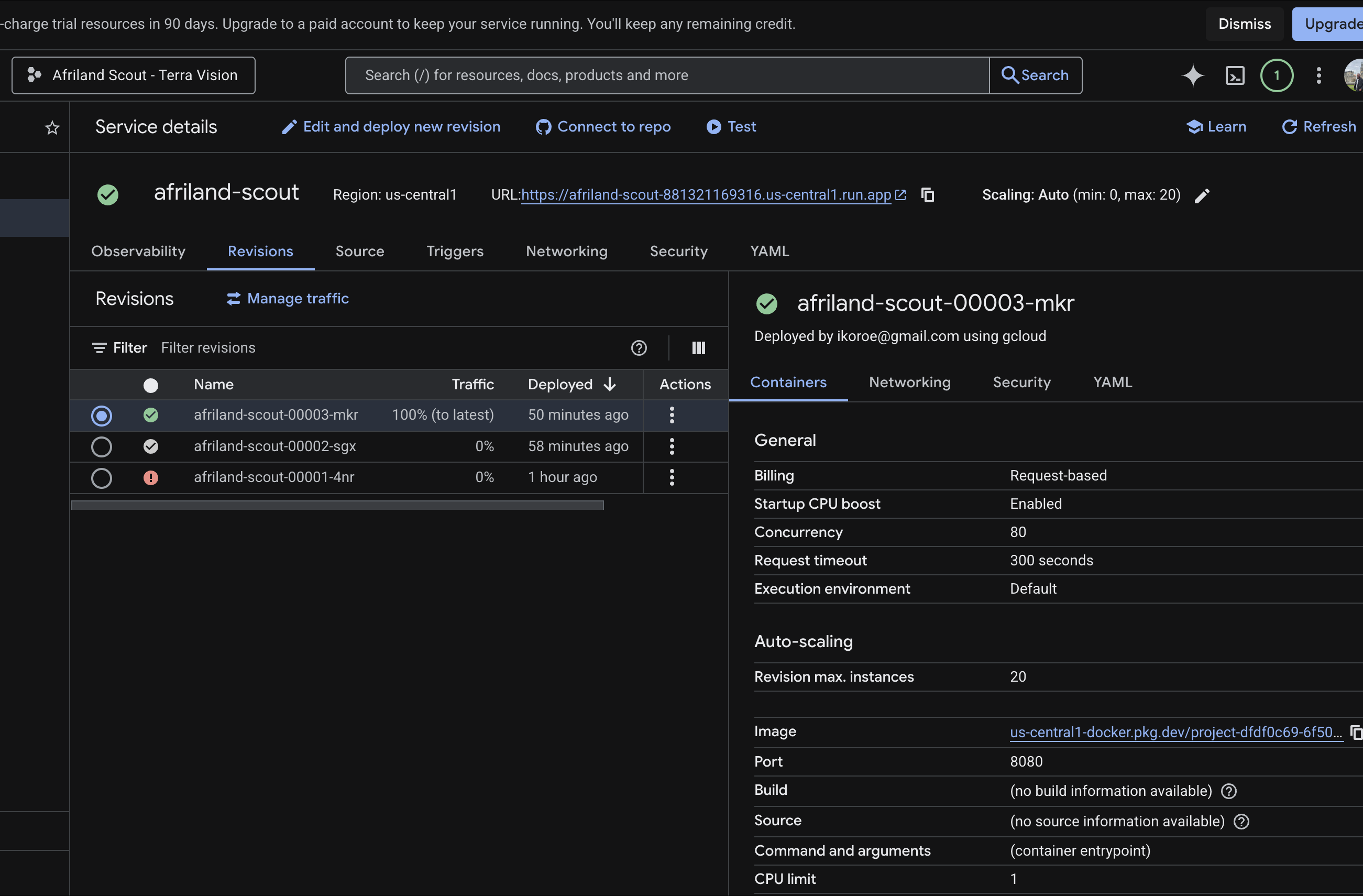
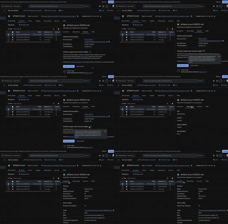
Infrastructure: The entire stack is containerized in a single Docker image and deployed to Google Cloud Run. FastAPI serves both the API/WebSocket endpoints and the static frontend on a single port.
Challenges we ran into
- Gemini Live API model availability: The
gemini-2.0-flash-livemodels listed in documentation were not available on Google AI Studio's v1beta endpoint. We discovered thatgemini-2.5-flash-native-audio-previewwas the correct model, and it requires audio input — sending a silent PCM chunk on connection was the key to keeping text-only sessions alive. - Audio pipeline complexity: Resampling browser audio (typically 48kHz) down to 16kHz, converting Float32 to 16-bit PCM, and base64 encoding — all in real-time JavaScript — required careful buffer management.
- Single-port Cloud Run deployment: Cloud Run exposes one port, but we needed both a WebSocket API and a static frontend. Switching from Next.js standalone (requiring Node.js) to static export served by FastAPI simplified the architecture significantly.
Accomplishments that we're proud of
- True real-time voice + vision interaction — you can walk around a plot and have a natural conversation with the AI while it watches through your camera
- Geodesic area calculation that's accurate to surveyor-grade precision using the WGS84 ellipsoid
- The entire app — from mic to Gemini to speaker — runs in a browser with no native app installation
- Deployed and publicly accessible in under 48 hours from first line of code
What we learned
- The Gemini Live API is genuinely powerful for building real-time multimodal agents, but the documentation gap between "what models exist" and "what models are actually available on which endpoint" is real
- WebRTC audio processing in the browser is harder than it looks — sample rate conversion and PCM encoding are non-trivial
- For hackathon deployments, static exports beat server-side rendering every time
What's next for Afriland Scout
- Continuous GPS tracking: Auto-record boundary points as the user walks without manual tapping
- Earth Engine elevation data: Connect terrain risk assessment to Google Earth Engine's SRTM dataset for precise elevation, slope, and flood risk data
- Imagen 3 renders: Wire up architectural render to Vertex AI Imagen 3 for photorealistic building visualization on the actual plot
- Offline-first mobile app: Build a React Native version that works in areas with intermittent connectivity (common in rural Nigeria)
- Land title verification: Integrate with Nigeria's land registry APIs for ownership verification
Built With
- gemini-2.5-flash-(live-api)-google-genai-sdk-(python)-google-cloud-run-google-maps-static-api-fastapi-next.js-/-react-tailwindcss-webrtc-/-web-audio-api-docker-python-(pyproj

Log in or sign up for Devpost to join the conversation.