-
-
Do you know the (safe) way?
-
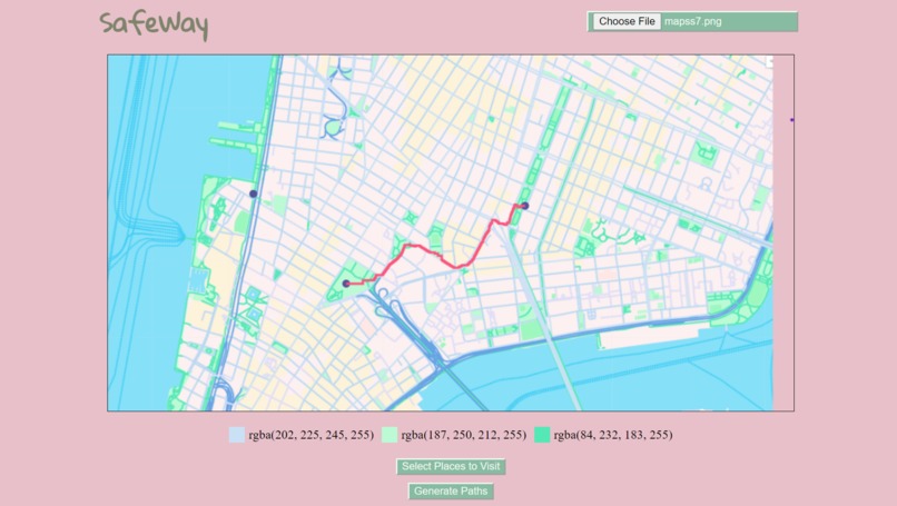
Path generated by the website (downtown manhattan)
-
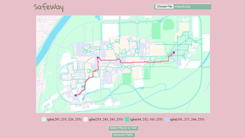
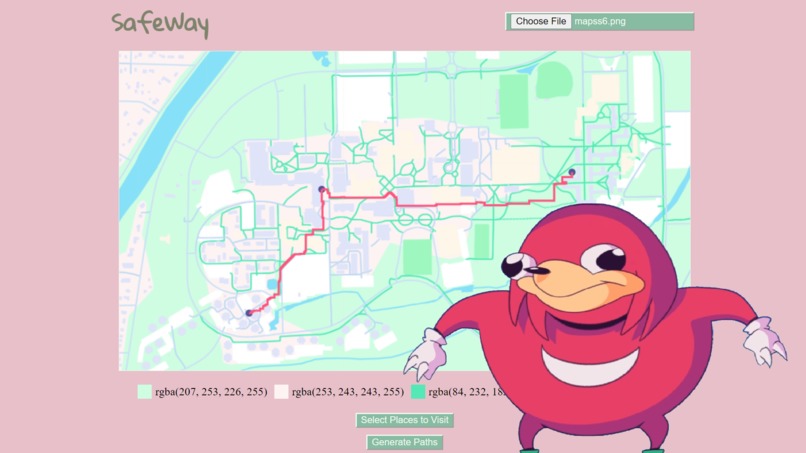
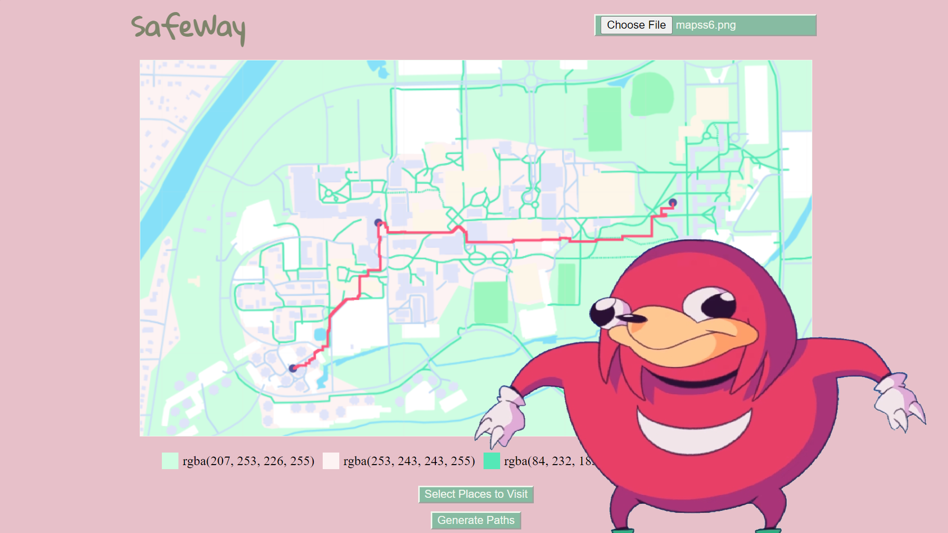
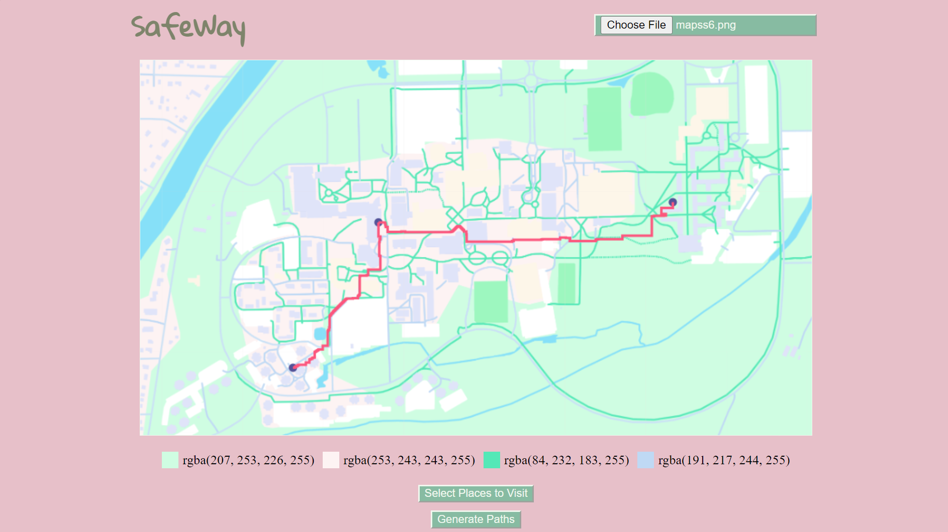
Path generated by the website (RIT Campus)

Purpose
This is to help people find the fastest and safest way to where they need to go. This is especially important in neighborhoods that may not be as safe at times, so people can choose specific places that they want to re-route their walk to ensure their safety.
Inspiration
When I was trick-or-treating this past week, I realized I was unfamiliar with a lot of the housing areas on RIT campus. As a result, I was walking more than I needed to. While it did help me get my steps in, I needed to hurry to complete my assignments due at midnight.
What it does
You can upload a screenshot of a map, choose colors that represent walkable areas, click on places you want to visit, and get the shortest route to each place.
How I built it
I used HTML Canvas and JavaScript. The program reads in an image and does a Breadth-First Search.
Challenges we ran into
I started with p5.js, but unfortunately this search algorithm took 5 minutes to draw in a 50 pixel line, so it was really inefficient. Around 5 hours into the hackathon I decided to restart from scratch.
Accomplishments that I'm proud of
I created a web-based project, which is something I haven't done before for a hackathon. I also implemented a search algorithm in the process.
What I learned
I learned how to manipulate front-end web-elements to create a useful tool.
What's next for SafeWay
I would like to improve the time complexity, for example with a more optimized search algorithm, because some of my functions took too long. I would also like to improve some of the UI features like text on the page to help users know what's happening.

Log in or sign up for Devpost to join the conversation.