AeroBlind AI — Seeing the Invisible
Inspiration
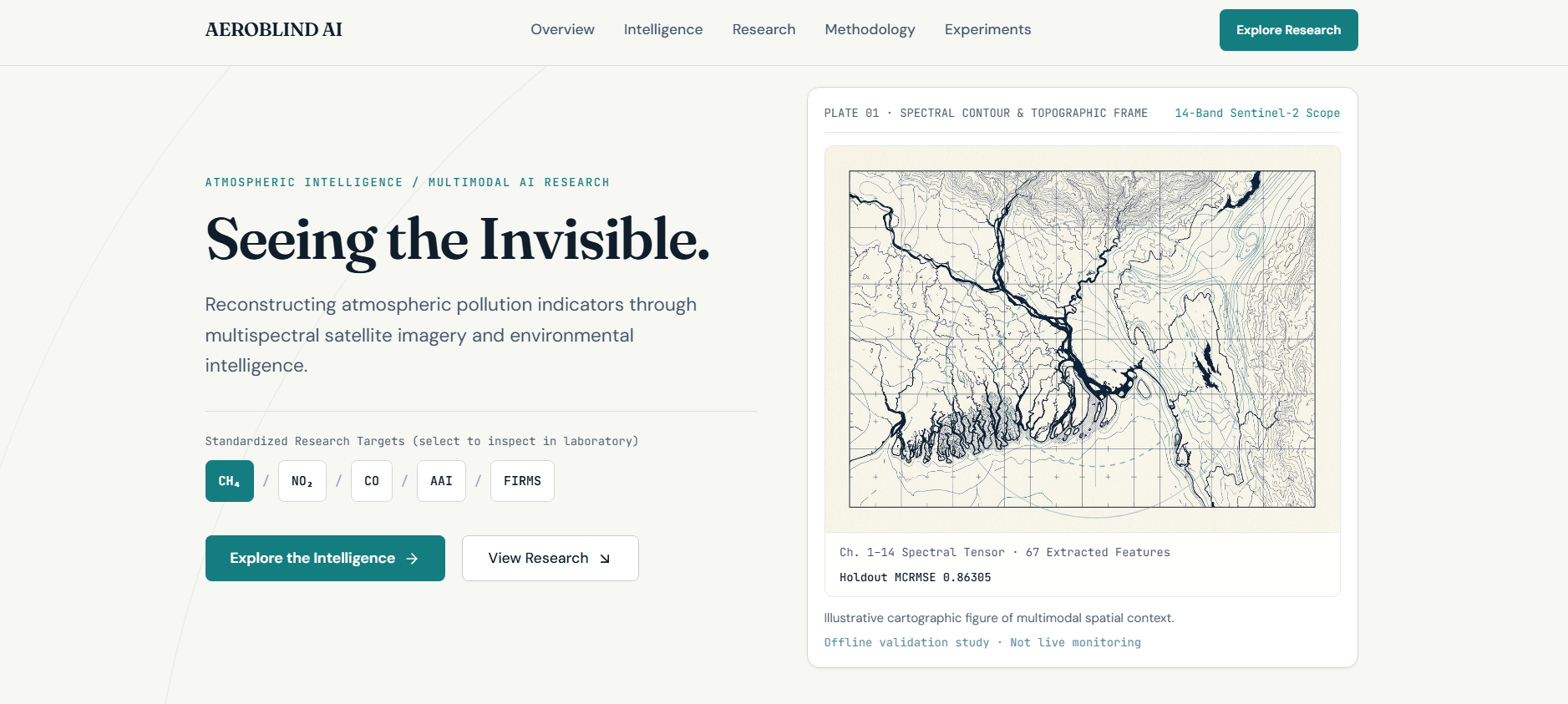
Air pollution, greenhouse gas emissions, smoke, and industrial activity are not always visible to the human eye. Yet their environmental signals can be observed indirectly through satellite imagery and complementary environmental data.
We built AeroBlind AI to explore how artificial intelligence can extract these hidden signals and estimate multiple atmospheric and environmental indicators from satellite observations.
Our goal was to investigate how multispectral satellite imagery, machine learning, and environmental intelligence could work together to make large-scale atmospheric monitoring more informative.
What it does
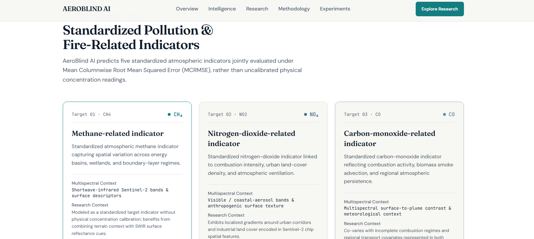
AeroBlind AI focuses on predicting five environmental indicators:
- Methane (CH₄): Greenhouse gas emission indicators.
- Nitrogen dioxide (NO₂): An important indicator of combustion-related pollution.
- Carbon monoxide (CO): A pollutant associated with incomplete combustion.
- Absorbing Aerosol Index (AAI): An indicator associated with absorbing aerosols such as smoke and dust.
- FIRMS: Fire and thermal-anomaly intensity indicators.
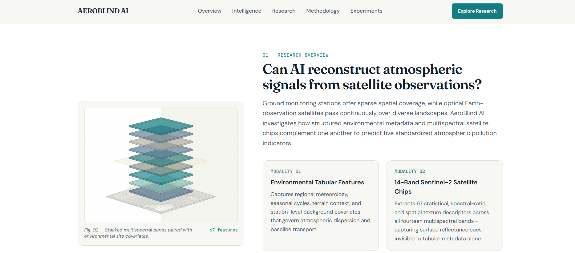
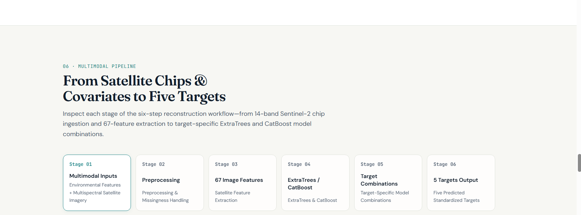
The research uses multispectral Sentinel-2 satellite image chips alongside 29 environmental, weather, terrain, and image-related features.
The dataset contains 4,439 satellite image chips, each with 384 × 384 pixels and 14 spectral bands, together with separate training and testing records.
How we built it
We developed a structured machine-learning experimentation pipeline using Python and Kaggle Notebooks.
Our research process included:
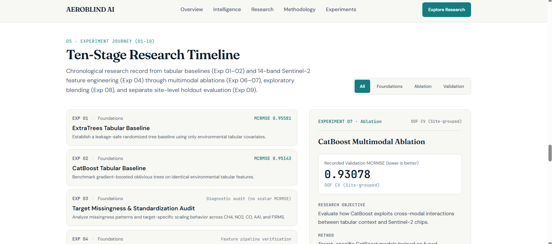
- Dataset exploration: Examining the training and testing datasets, target availability, image dimensions, spectral bands, and feature distributions.
- Data quality analysis: Auditing satellite image metadata and image quality before model development.
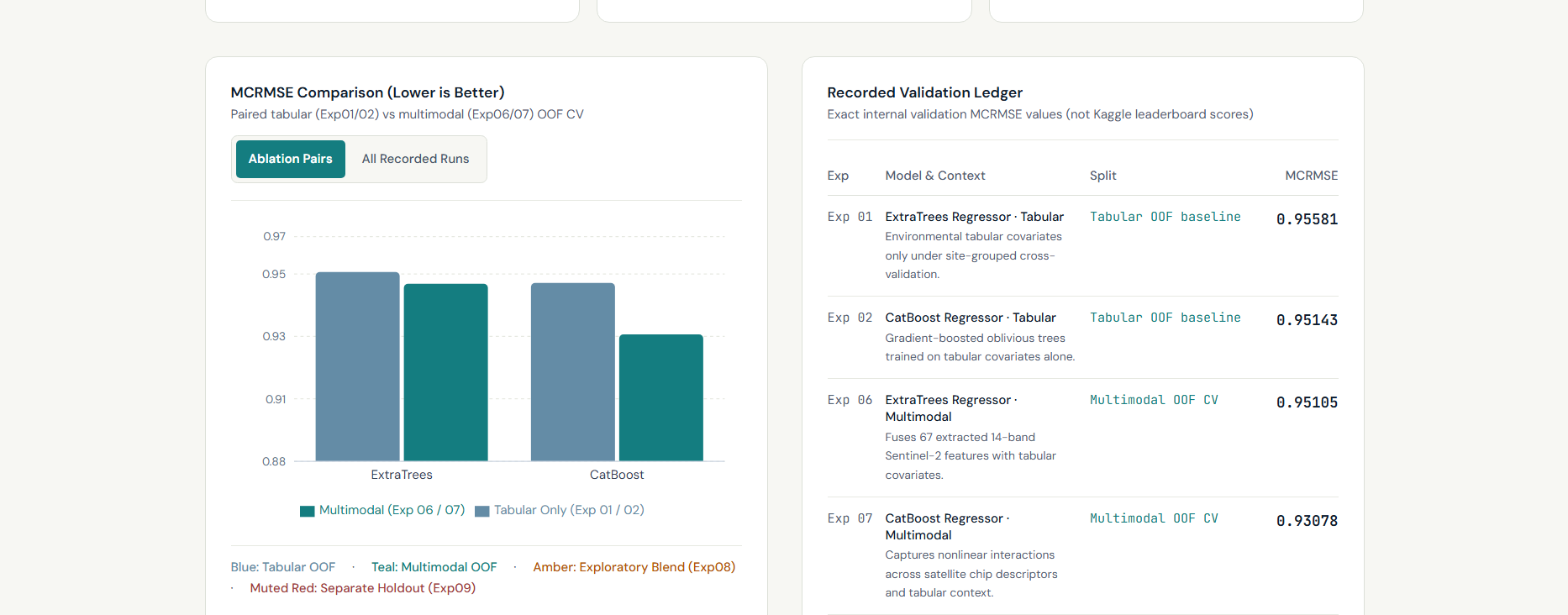
- Baseline modelling: Establishing initial predictive models using ExtraTrees and CatBoost.
- Multimodal feature exploration: Investigating how Sentinel-2 image-derived information could complement the available tabular environmental features.
- Model experimentation: Comparing feature combinations, target-specific models, and multimodal approaches.
- Ensemble development: Exploring target-specific model blends to improve predictions across the five environmental indicators.
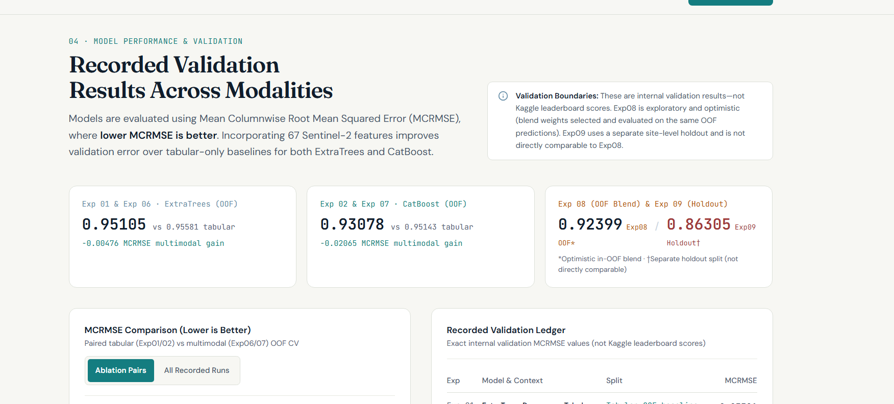
- Validation: Using independent site-level validation to examine how well models generalize beyond the training locations.
- Final prediction generation: Producing predictions for all 1,221 test samples and validating the submission structure.
We used masked mean column-wise RMSE (MCRMSE) as the evaluation approach, accounting for the availability of different target labels.
Data sources and technologies
The research draws on satellite and environmental information associated with:
- Sentinel-2 Level-2A multispectral imagery.
- Sentinel-5P TROPOMI atmospheric observations.
- NASA FIRMS fire and thermal-anomaly data.
- ERA5-Land weather information.
- Copernicus GLO-30 elevation data.
- MODIS water-mask information.
- Google Earth Engine for geospatial data exploration.
Challenges we faced
One of the biggest challenges was working with multiple environmental targets that did not have identical label availability.
Another challenge was ensuring that validation reflected real-world generalization. Satellite observations from different facilities and locations can have different characteristics, so randomly splitting records could produce misleading results. We therefore explored site-level validation to better assess performance on unseen locations.
Working with large multispectral TIFF image chips also required careful data inspection and feature preparation.
We learned that combining multiple data sources does not automatically improve a model. Feature quality, validation design, target-specific behaviour, and careful experimentation are equally important.
What we learned
Through this project, we gained practical experience in satellite-data analysis, environmental machine learning, multimodal feature engineering, model evaluation, and ensemble experimentation.
Most importantly, we learned to approach AI research systematically: establish baselines, test hypotheses, compare experiments, validate independently, and avoid claiming improvements without evidence.
The outcome
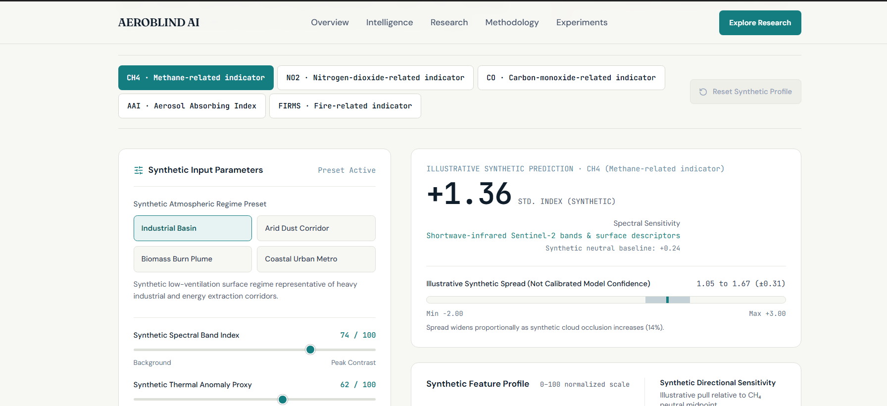
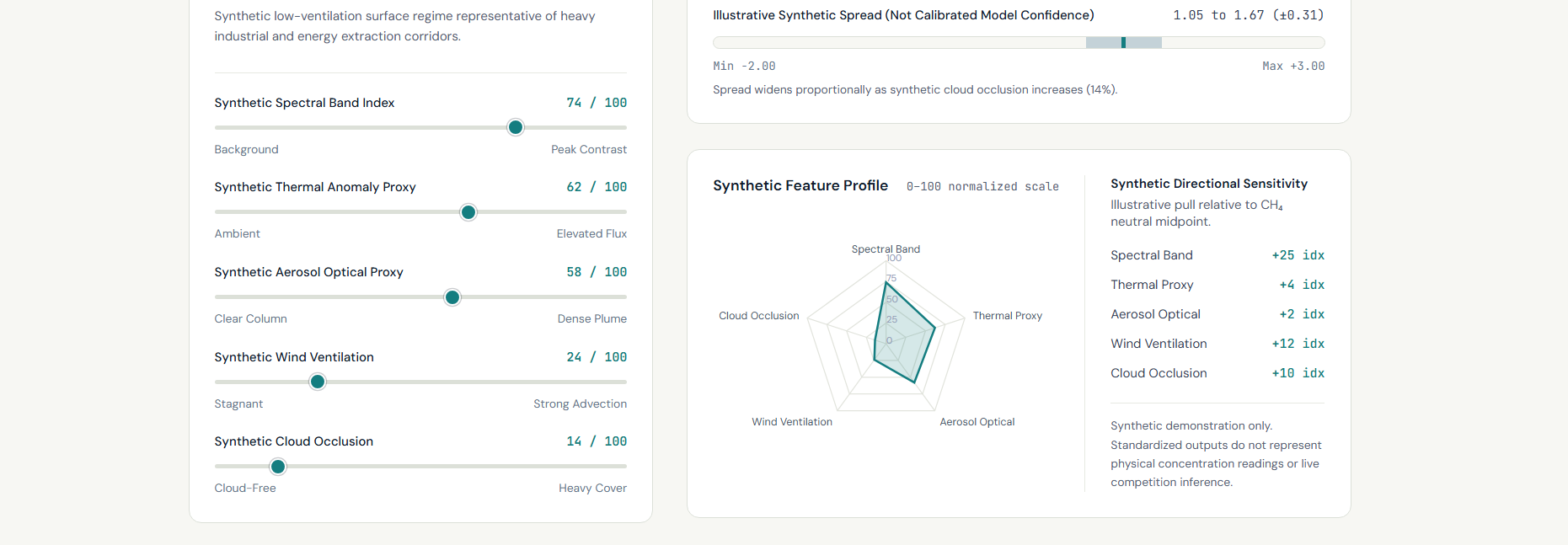
AeroBlind AI brings together a reproducible research workflow and an interactive web interface for presenting its atmospheric intelligence concepts, research methodology, experiments, and environmental prediction targets.
The final experimental pipeline generated predictions for 1,221 test samples, with no missing predictions or duplicate sample IDs in the validated submission.
AeroBlind AI — Seeing the Invisible. Turning satellite observations into environmental intelligence.
Built With
- artificial-intelligence
- catboost
- extratrees
- geospatial-analysis
- google-earth-engine
- kaggle
- machine-learning
- multimodal-ai
- nasa-firms
- python
- react
- remote-sensing
- satellite-imagery
- sentinel-2
- sentinel-5p
- tailwind
- typescript
- vite
