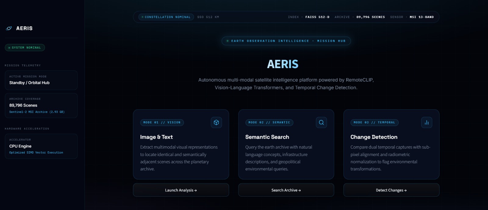
Aeris — See Earth. Understand Change. Aeris is an AI-powered Earth intelligence platform designed to transform satellite imagery into meaningful insights. Satellites continuously capture information about Earth's surface, including cities, forests, agricultural fields, roads, rivers, and industrial areas. However, finding relevant images and understanding how locations change over time can be time-consuming and technically challenging.
Aeris aims to simplify this process by combining artificial intelligence, computer vision, semantic image retrieval, vector search, and geospatial analysis in a unified platform.
The Problem
Traditional satellite image analysis often requires users to search large datasets, manually identify relevant images, compare observations from different dates, and interpret complex visual information. These tasks can require specialized expertise and significant effort.
For example, construction companies may need to monitor infrastructure development, environmental researchers may want to track vegetation changes, and disaster management teams may need to assess affected areas after floods. Finding the right imagery and extracting useful information from it can be difficult.
Aeris addresses this challenge by making satellite imagery easier to search, explore, and analyze.
Our Solution
Aeris combines multiple AI technologies to help users discover relevant satellite imagery and investigate potential changes across geographic areas. Its goal is to reduce manual effort and make Earth observation more accessible to researchers, businesses, and organizations.
Key Technologies
- Semantic Image Retrieval with OpenCLIP and RemoteCLIP
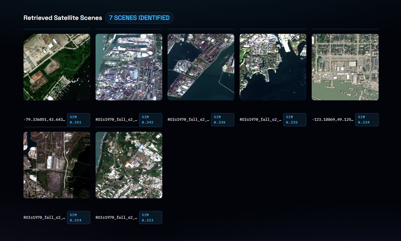
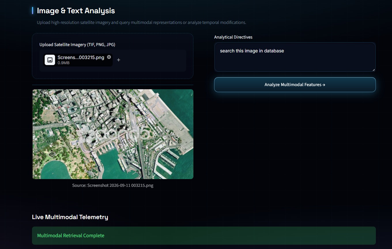
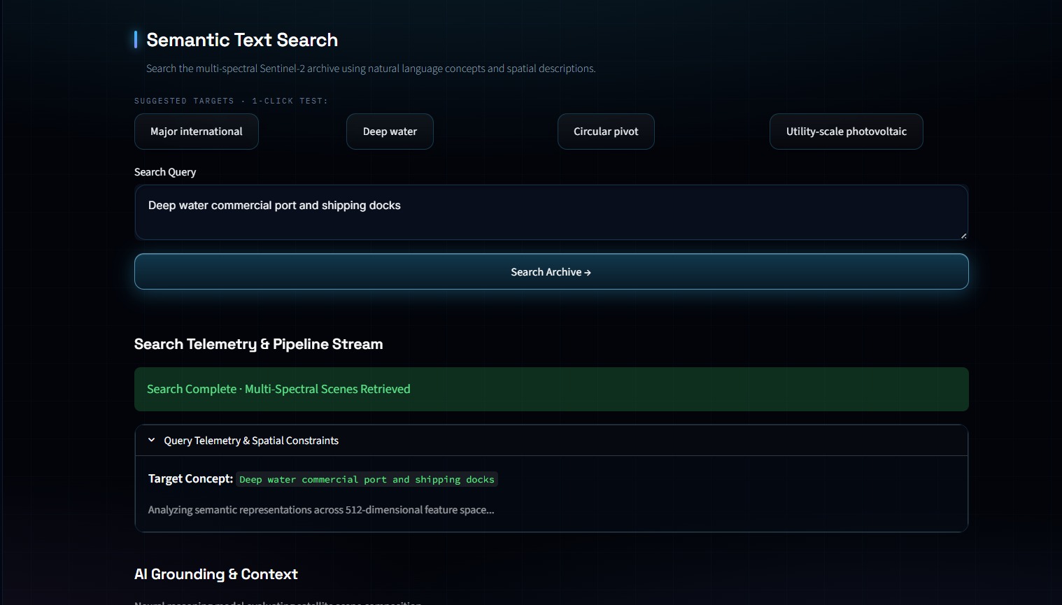
Aeris uses OpenCLIP to convert satellite images into numerical vector embeddings. These representations capture visual information and enable similarity-based retrieval, helping users discover relevant images without depending exclusively on filenames or manually assigned labels.
- Efficient Similarity Search with FAISS
FAISS enables efficient searching through image embeddings. By comparing vector representations, Aeris can retrieve and rank visually or semantically related images, making large image collections easier to explore.
- Multi-Temporal Change Analysis
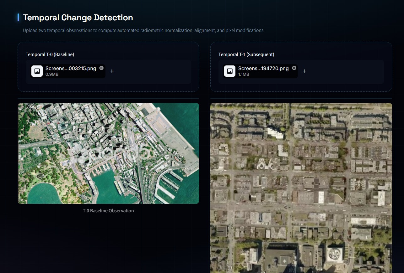
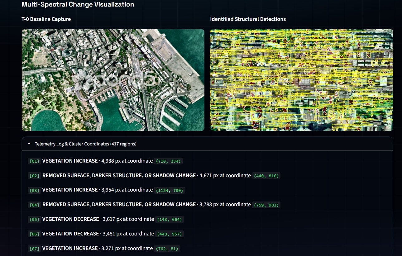
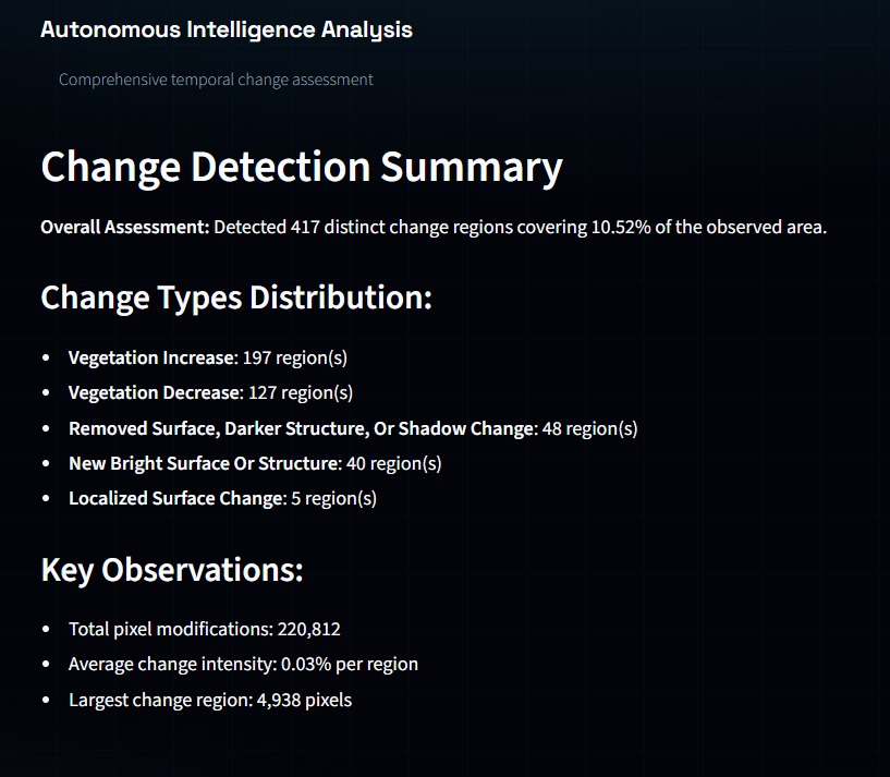
Aeris is designed to support comparisons between satellite observations collected at different times. This can help investigate potential changes in buildings, roads, vegetation, water bodies, and land use. Reliable comparisons require appropriate image alignment, dates, resolution, and consideration of cloud cover and seasonal variations.
- Geospatial Exploration and AI-Assisted Insights
Aeris aims to connect imagery with geographic context and incorporate AI-assisted explanations, helping users understand observations and explore potential changes more effectively.
Real-World Applications
Aeris has potential applications across several industries:
- Infrastructure: Monitor construction progress and identify areas requiring inspection.
- Agriculture: Explore vegetation patterns and changes in cultivated areas.
- Environmental monitoring: Investigate changes in forests, water bodies, and land use.
- Urban planning: Study urban expansion and infrastructure development.
- Disaster management: Support the discovery and comparison of satellite imagery for assessing potentially affected areas.
These applications depend on appropriate imagery, validated analytical methods, and reliable results.
Challenges and Future Vision
One major challenge in building Aeris is retrieving genuinely relevant images from large collections where different locations may have similar visual patterns. I have worked on the retrieval pipeline using OpenCLIP and FAISS, focusing on embeddings, similarity search, and efficient indexing.
The long-term vision is to develop Aeris into a comprehensive Earth intelligence platform that combines natural-language search, visual similarity retrieval, multi-temporal change analysis, geospatial exploration, and AI-assisted interpretation.
By making satellite imagery easier to discover and understand, Aeris aims to help people reduce manual analysis and make better-informed decisions about our changing planet.
Aeris — See Earth. Understand Change.

Log in or sign up for Devpost to join the conversation.