

Industries today face numerous challenges when it comes to ensuring safety from hazardous atmospheres. The risk of fires, toxic gas leaks, and other hazards poses a significant threat to both human lives and valuable assets. Inspired by the need to address these issues, we built an innovative solution that leverages cutting-edge aerial technology, machine learning, and geospatial mapping to detect hazardous zones in industrial settings and enhance fire prevention strategies.
The project was conceptualized with the rapid pace of industrialization in mind, which demands smarter, more efficient methods to maintain safety. By utilizing drones equipped with advanced sensors and cameras, we aimed to provide an aerial perspective for identifying potential hazards. This allows for real-time detection of flammable materials, toxic substances, and other threats, ensuring quick and informed decision-making.
Our system integrates remote sensing technology with AI and GIS tools to analyze and map data, creating detailed hazard zone maps. These maps categorize industrial areas into flammability, toxicity, and threat levels, empowering industries to develop fire pre-plans, enhance safety protocols, and reduce economic losses.
Key Features of the Project
Aerial Technology Utilization:
- Drones and aircraft equipped with sensors and cameras conduct aerial surveys of industrial areas.
- Comprehensive data collection provides a bird’s-eye view of hazardous zones.
- Drones and aircraft equipped with sensors and cameras conduct aerial surveys of industrial areas.
Precise Hazard Identification:
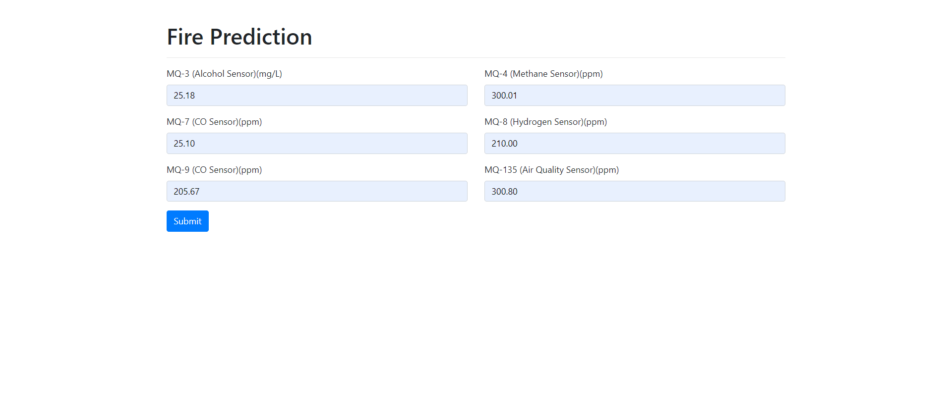
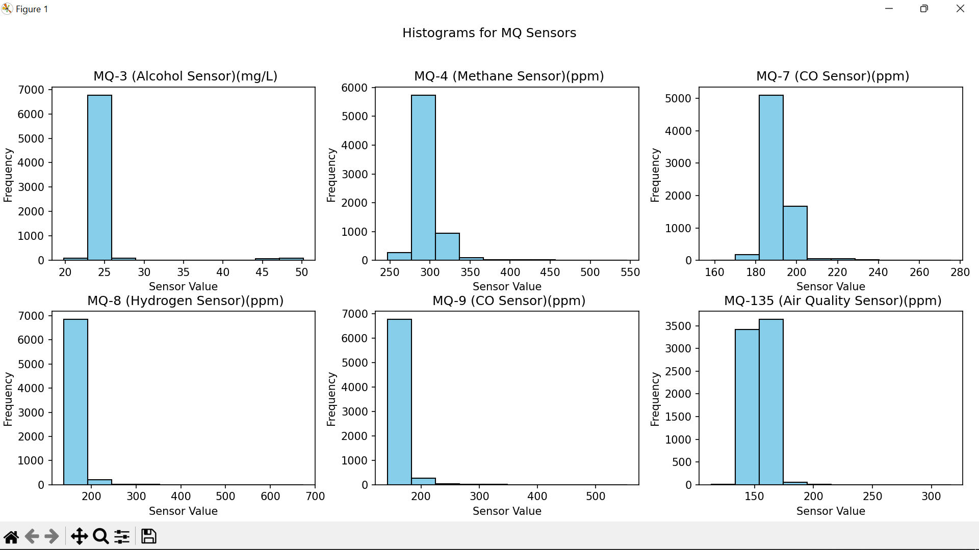
- Detects areas with flammable materials, toxic gases, and other risks.
- Utilizes remote sensing for high-accuracy monitoring.
- Detects areas with flammable materials, toxic gases, and other risks.
Advanced Data Processing:
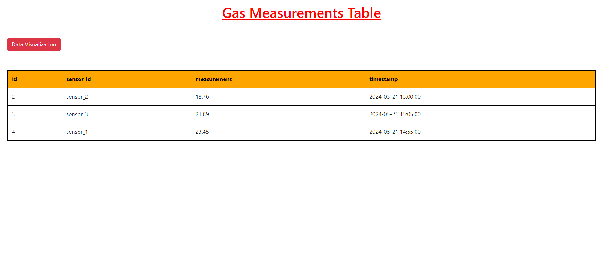
- AI and machine learning models process collected data for actionable insights.
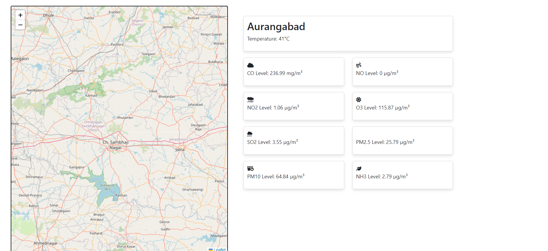
- Geospatial mapping with GIS tools visualizes hazard zones for easy understanding.
- AI and machine learning models process collected data for actionable insights.
Hazard Zone Mapping:
- Creates detailed maps categorizing industrial areas into flammability, toxicity, and threat zones.
- Helps stakeholders identify and monitor high-risk areas efficiently.
- Creates detailed maps categorizing industrial areas into flammability, toxicity, and threat zones.
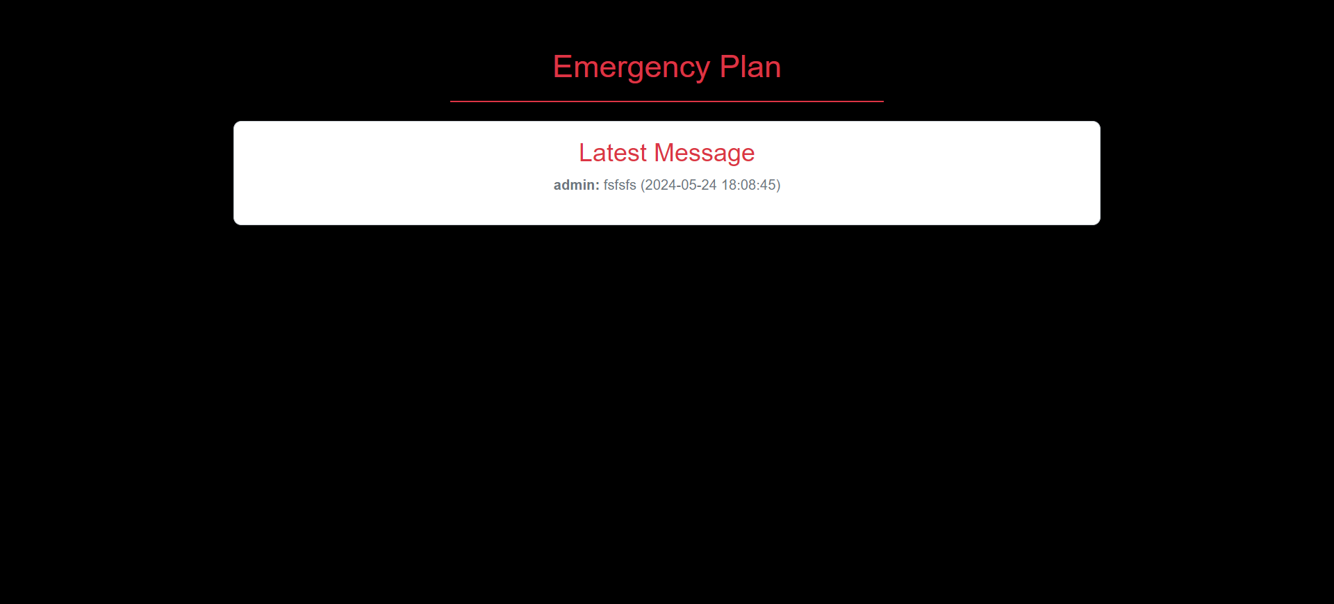
Fire Pre-Plans and Emergency Response:
- Develops proactive strategies for fire prevention and emergency management.
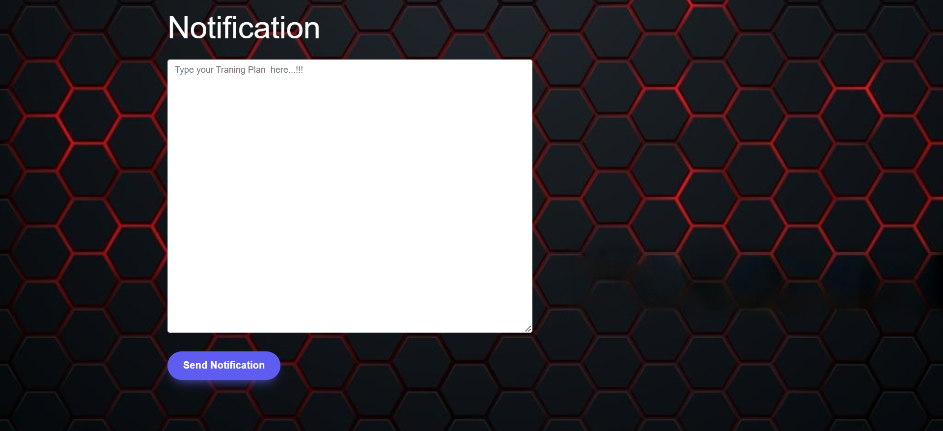
- Informs response teams using real-time data for better safety measures.
- Develops proactive strategies for fire prevention and emergency management.
Enhanced Safety Measures:
- Improves preparedness and safety for industrial workers.
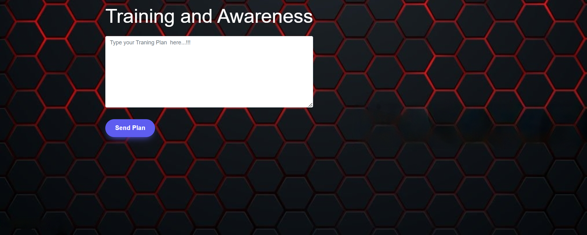
- Offers training programs tailored to identified hazard zones.
- Improves preparedness and safety for industrial workers.
Economic Loss Reduction:
- Minimizes losses from industrial fires with accurate hazard identification.
- Conducts cost-benefit analyses to highlight the economic value of advanced safety measures.
- Minimizes losses from industrial fires with accurate hazard identification.
Challenges Faced
- Data Accuracy: Ensuring the accuracy of collected and processed data for effective risk assessment.
- Technology Integration: Combining drones, sensors, AI, and GIS tools into a seamless system was complex.
- Privacy and Security Concerns: Adhering to privacy regulations and safeguarding sensitive data from breaches.
- Dependability of Equipment: Ensuring drones and sensors perform reliably under various conditions.
How It Was Built
We started by identifying the core problem of fire hazards in industrial areas. Using Python as the backbone for back-end development, we created a system to collect and process data from drones equipped with sensors. The front-end was designed with user-friendly interfaces to ensure accessibility. AI and machine learning algorithms were trained to analyze hazards, while GIS tools provided geospatial mapping capabilities.
The result is a robust system capable of real-time hazard detection, visualization, and response planning.
Built With
- bootstrap-data-analysis:-numpy
- css
- django
- drone-based
- html
- iot
- javascript
- languages:-python
- mathworks-database:-postgresql-data-visualization:-d3.js-technologies:-gis-tools
- opencv
- php-frameworks:-flask
- remote-sensing
- sensors
- tensorflow


Log in or sign up for Devpost to join the conversation.