-
-
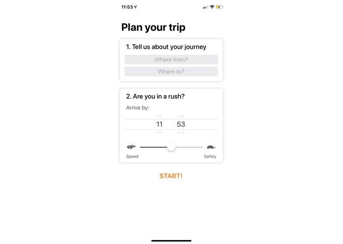
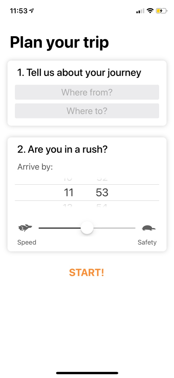
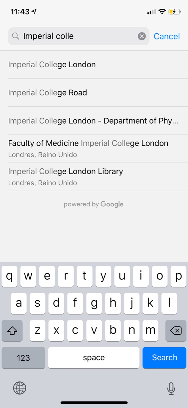
Input journey details
-
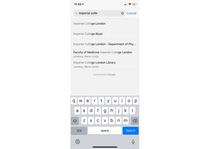
Autosuggests places
-
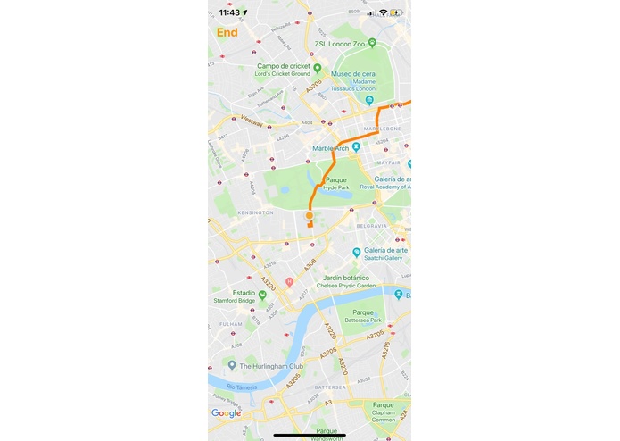
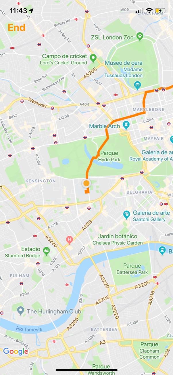
Displays safest route
Inspiration
We wanted to create something socially-impactful and useful that we could use ourselves. We all often travel, and there'll be times when we need to walk home but because we're not used to the area, we'd feel unsafe on our journey home. We wanted to solve this problem by providing an app that gave directions not just for getting somewhere quickly, but getting somewhere safely.
What it does
We used UK crime and policing data, along with cutting-edge statistical methods to write a path finding algorithm that optimises for the safest route. We then integrated this with the Google Maps API and ran it on a heroku server that communicated with our iOS application.
How we built it
We built the front end in Swift, and the backend in Python. The backend included the data analysis and safety optimisation algorithms, as well as the server-side applications which were built using Heroku and Django.
Challenges we ran into
Although we had an idea for the path-finding algorithm, we were unsure if we could implement this in the short time available. This was also our first time working with web servers and the Google Maps API, so these took some figuring out. In the end, we came out on top and the biggest challenge was sleep (or a lack thereof)!
What's next for Aegis
We'd like to speed up our algorithm and to add more features, including making the speed-safety trade-off slider actually have an effect, among other things. Currently, Aegis only works in London, so we also plan to extend this to the entire UK (since we have all the data available), as well as other parts of the world.

Log in or sign up for Devpost to join the conversation.