-
Mosquito breeding sites classification
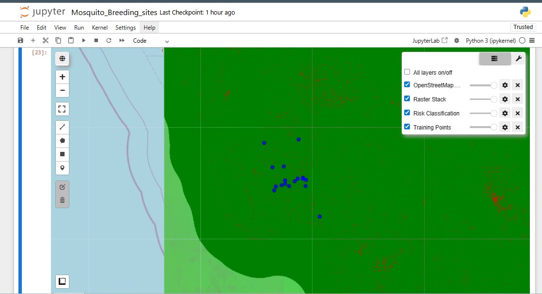
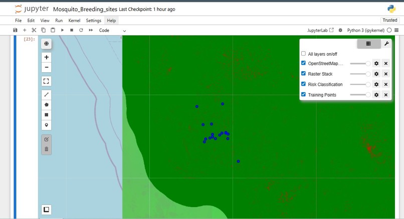
The aim of this study was to model mosquito breeding sites based on larvae counts, using LULC, NDVI, NDWI, and NDTI as predictor variables and applying Random Forest classification. The data used for this project are S2 Harmonized Sentinel 2 , GLOBE Observer data (Mosquito Habitat Mapper) and ESRI LULC . NDVI (Normalized Difference Vegetation Index) was used as a proxy for vegetation density, NDWI (Normalized Difference Water Index) as a proxy for water content in terrestrial vegetation, and NDTI (Normalized Difference Turbidity Index) as a proxy for water clarity, while LULC provided land cover information. The goal was to identify areas where vegetation and land cover may influence mosquito breeding. The study focused on Fort Myers, which had 29 sampling locations, but the larvae count in this area were generally low (less than 30). For classification, larvae counts were divided into two categories: 0–10 and 11–30. Because the higher category contained only three samples, the model faced challenges due to class imbalance; however, the balanced option was applied in Random Forest to mitigate this issue. Although the model performance was limited by the small dataset, it has the potential to perform better when applied to larger areas with additional environmental variables. Modeling larvae counts in terms of land cover, vegetation density, and water clarity enables the identification of potential areas that may serve as breeding sites for mosquitoes. Moreover, if trained with locations representing varying environmental conditions, the model could be transferable both spatially and temporally, enabling the identification of potential mosquito breeding sites across different regions and seasons.
Built With
- gee
- geemap
- python

Log in or sign up for Devpost to join the conversation.