
Team: Action Maps Room: 227 (table 3)
Inspiration
For some of our team it was our first time in the United States. We were staying at a place in downtown LA on the 49th floor. You could see everything far off to the horizon: Planes, cars in small streets and on the highway, trains, a lot of police, firefighters, bicycles - a dense, rich big city life. It reminded us of earlier ego-simulation sandboxes like SimCity. There's just so much information to gather from such a vantage point, two-dimensional maps just can't convey the richness and relationships of it.
Jeff's background is in connected devices and big data, and together with Mille's conceptual and visionary skills we knew we wanted to explore the intersection of creativity, data, and VR.
What it does
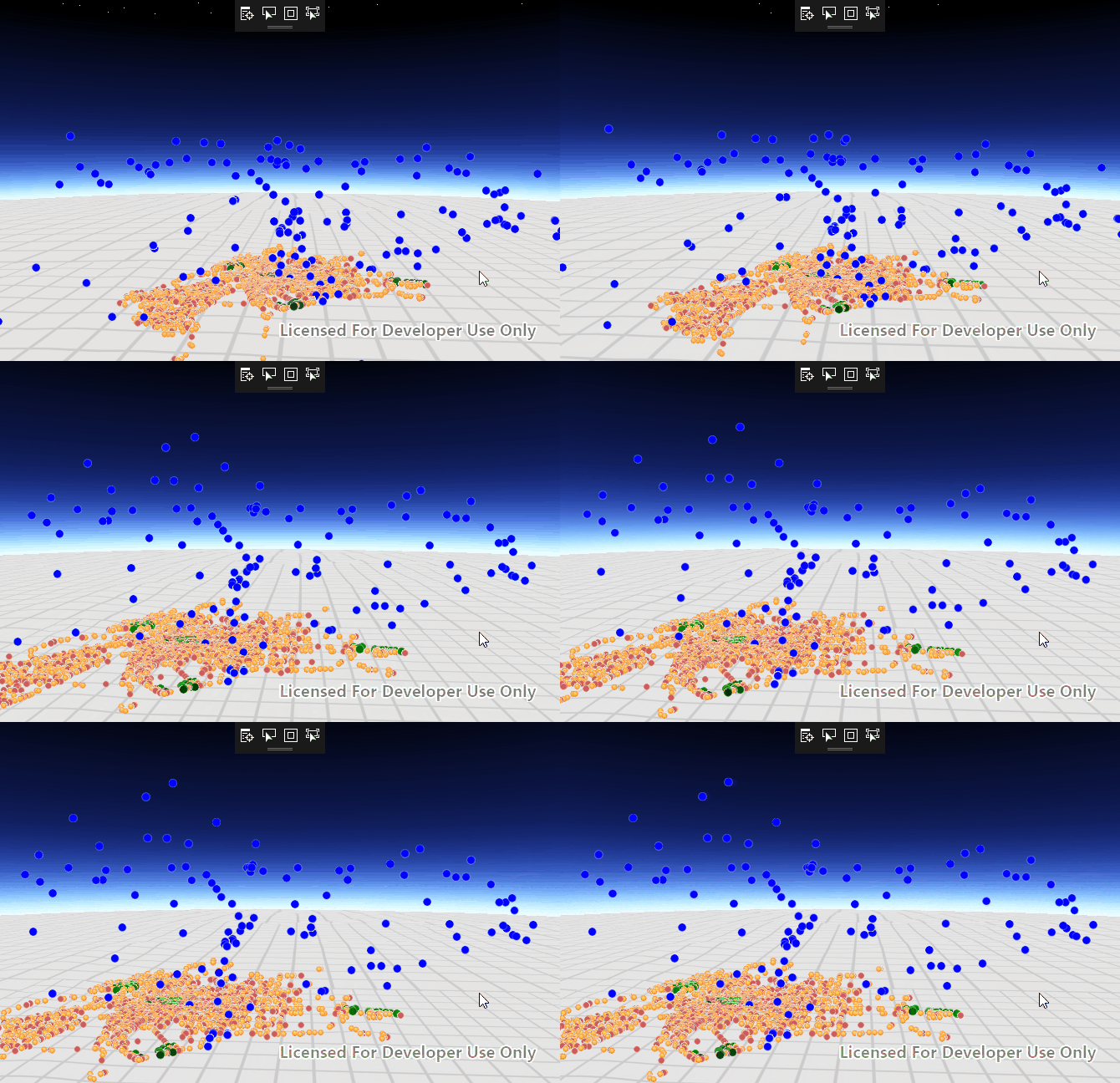
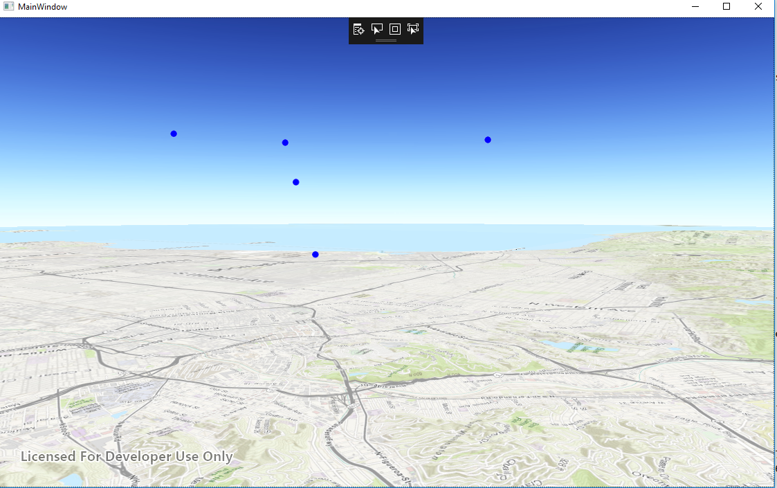
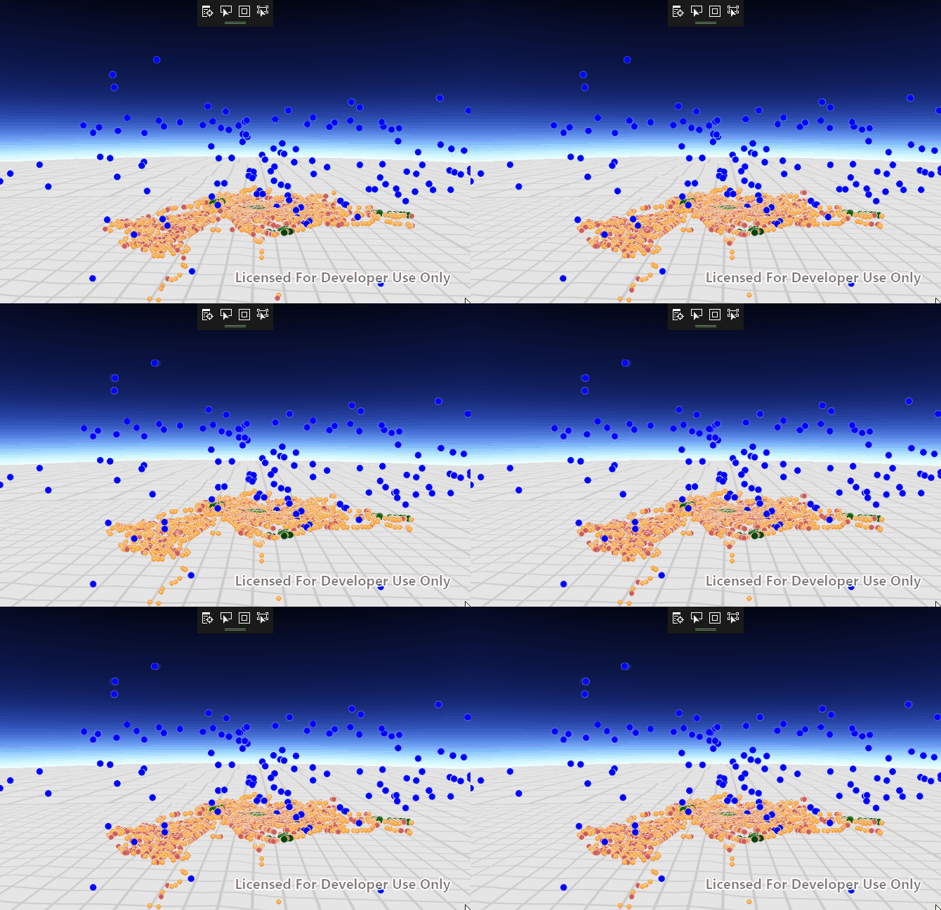
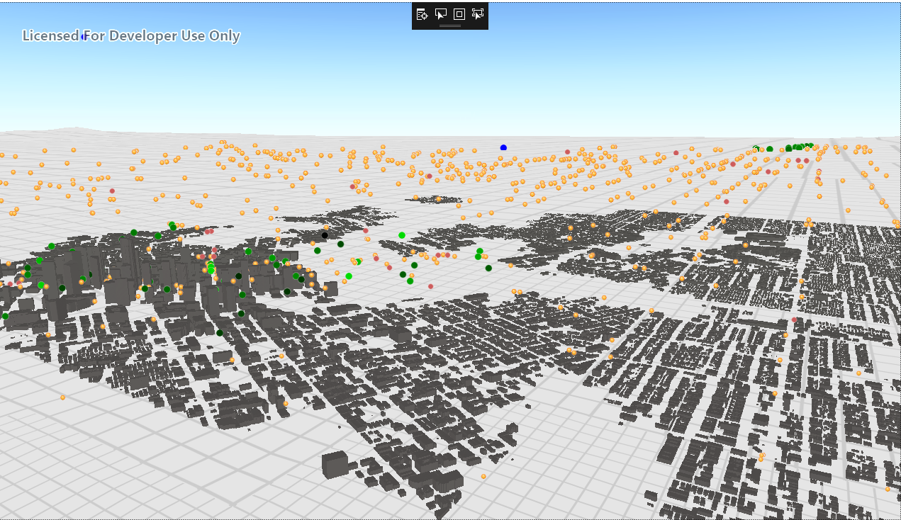
We display real time data, acquired from freely accessible data sources, plotted in 3d (x,y,z) on a 3d map of Los Angeles using ESRI’s ArcGIS Framework, and play a live audio feed of tweets from around LA .
How we built it
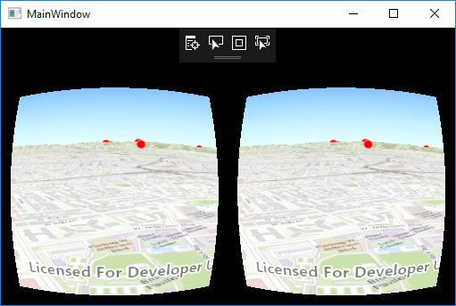
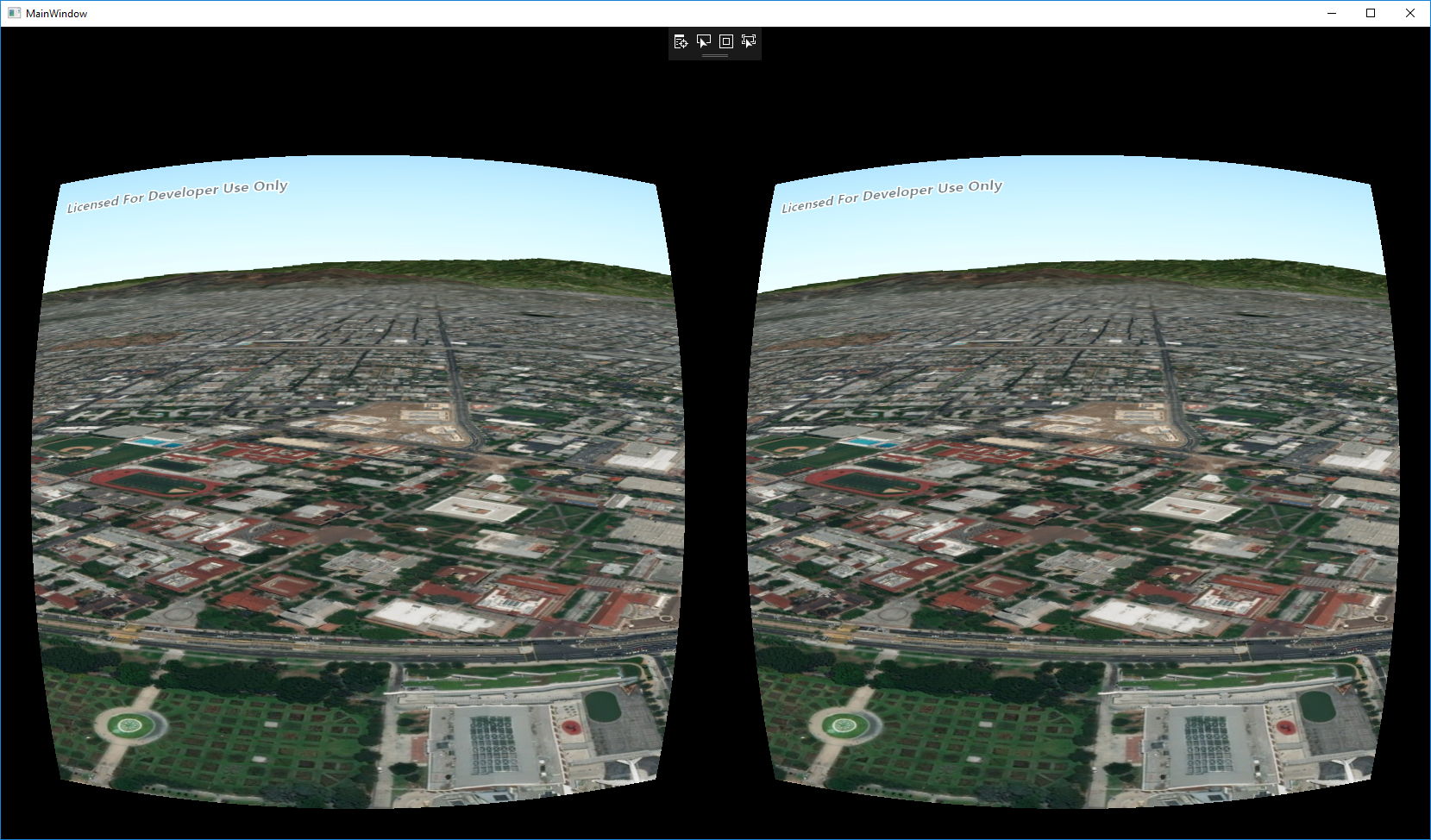
ESRI provides a framework for combining GIS data (a common interchange format for geospatial information) and presenting it in 3d. For the hackathon, they made available to us a beta of their SDK for AR/VR, which featured stereoscopic rendering. To this framework, we brought in and plotted information from several sources, including government GIS servers, amateur radio, and the public transit and bikesharing system
Challenges we ran into
Our flight to LA was delayed four hours
Jeff's laptop's motherboard fried an hour into the hackathon (but we were able to use an excellent loaner PC from HP! Thanks!)
Twitter provides location information in their tweets... about one out of every thousand. Rather than plotting them, we decided to use them as the audio feed of information
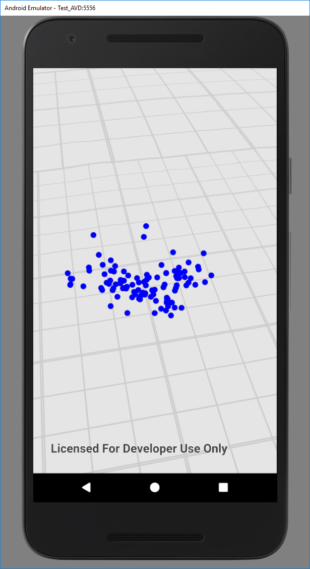
We targeted originally the Windows Mixed Reality headsets, however the ESRI framework didn't support them in the end. We changed targets to Android as it's what we had available and what was supported
The android handset we have heats up very quickly and starts to throttle
We had problems getting to our hotel because Donald Trump was in LA
Lots of yak-shaving around pre-requisites to getting development going
Accomplishments that we're proud of
- Learning new frameworks with enough time to make it do something (Xamarin, ESRI's SDK)
- We were able to realize something approaching our original lofty goals
- Teamwork was problem-free
- We met really cool people working on amazing projects
What we learned
We plan the development journey pretty well 20% ideation 20% research tools and general doability 20% content production 40% debugging and polishing
We learned how to use Github's project management
It's possible to complete a project while still getting sleep--which is critical for when problems come up late
Good git hygiene saved the day when the computer broke... we only lost about an hour (including computer setup)
The mentors are super helpful!
LA actually has a massive public transit system, despite its reputation to the contrary
What's next for Action Maps
- More data sources!
- Experimentation with more ways of conveying information, colors, sounds, spatial relationships, motion--there's so much to explore
- Polish the LA Action Map and investigate if this idea provides a new approach for visualization of complex data in general, while not only doing VR, but AR as well.
- VR for an immersive solo experience - the hovering omniscient panopticon
- AR for collaborative work - the miniature toy town.
- Realtime collaboration on real-time data?
Special Thanks
Jaxon: For letting us borrow your Google Cardboard! HP: For loaning us an awesome backpack PC and MR headsets ESRI: For making a really well documented Framework and going above-and-beyond supporting us Hackathon Organizers: Great location, great food, great people!


Log in or sign up for Devpost to join the conversation.