-
-

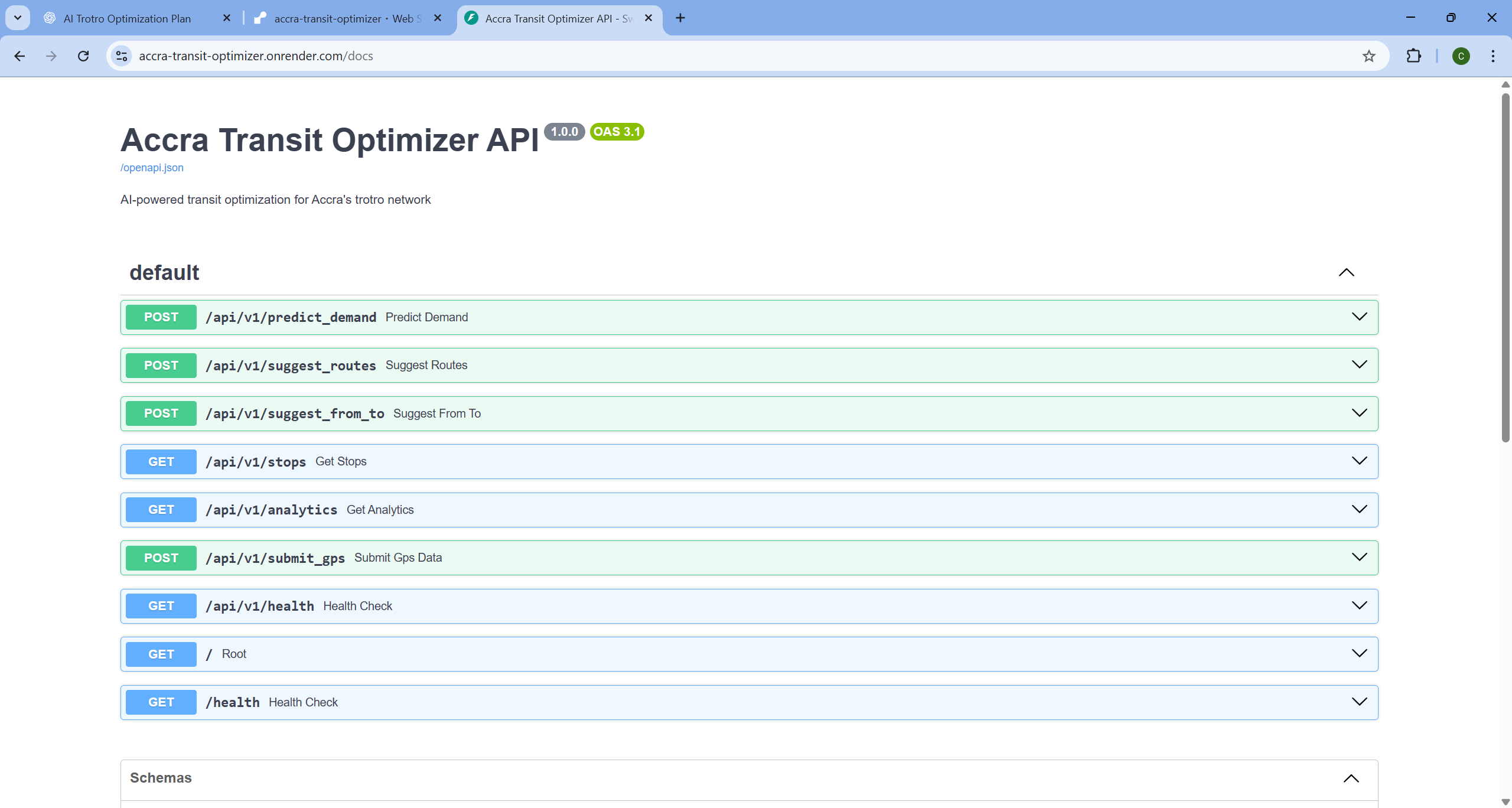
Service Active
-
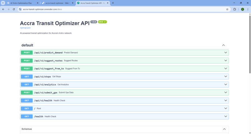
Fast API endpoints
-
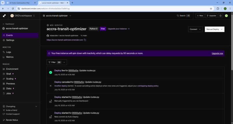
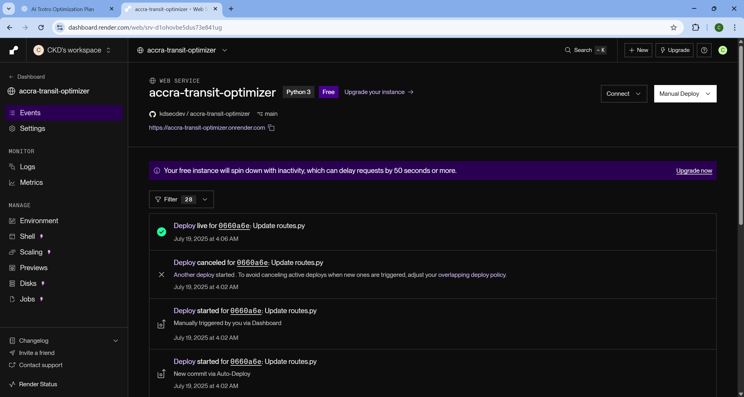
render Backend Service
-
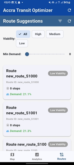
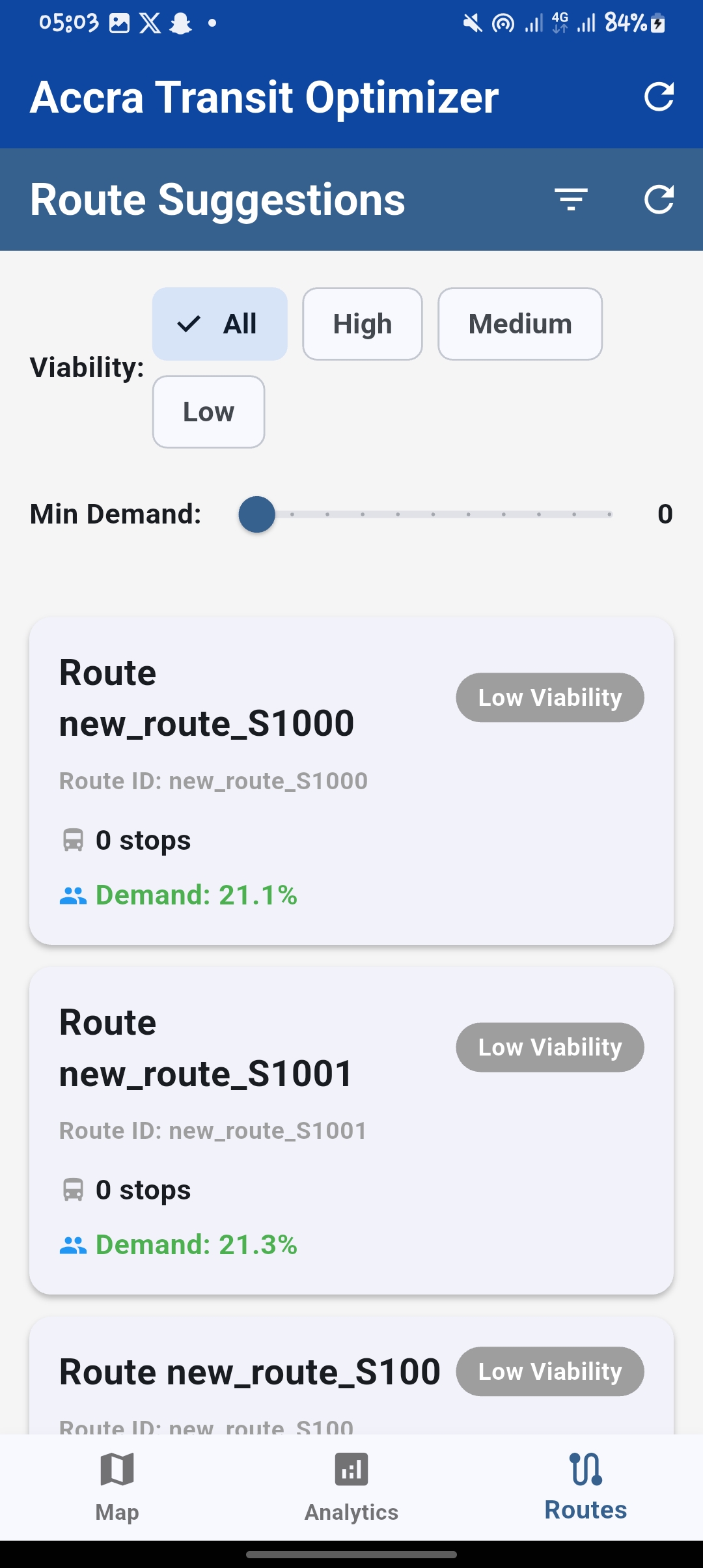
Route Suggestions
-
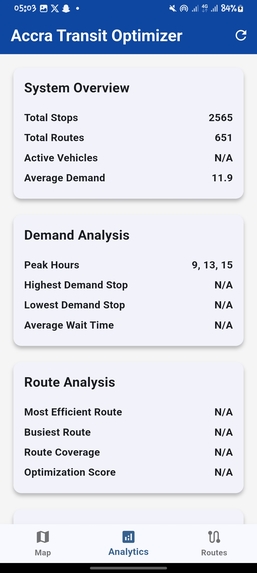
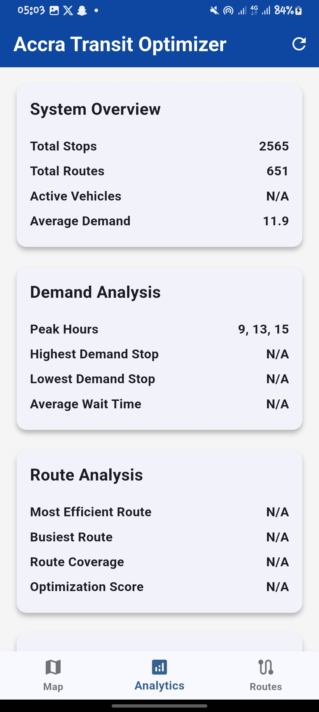
Analytics Screen
-
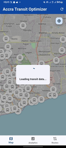
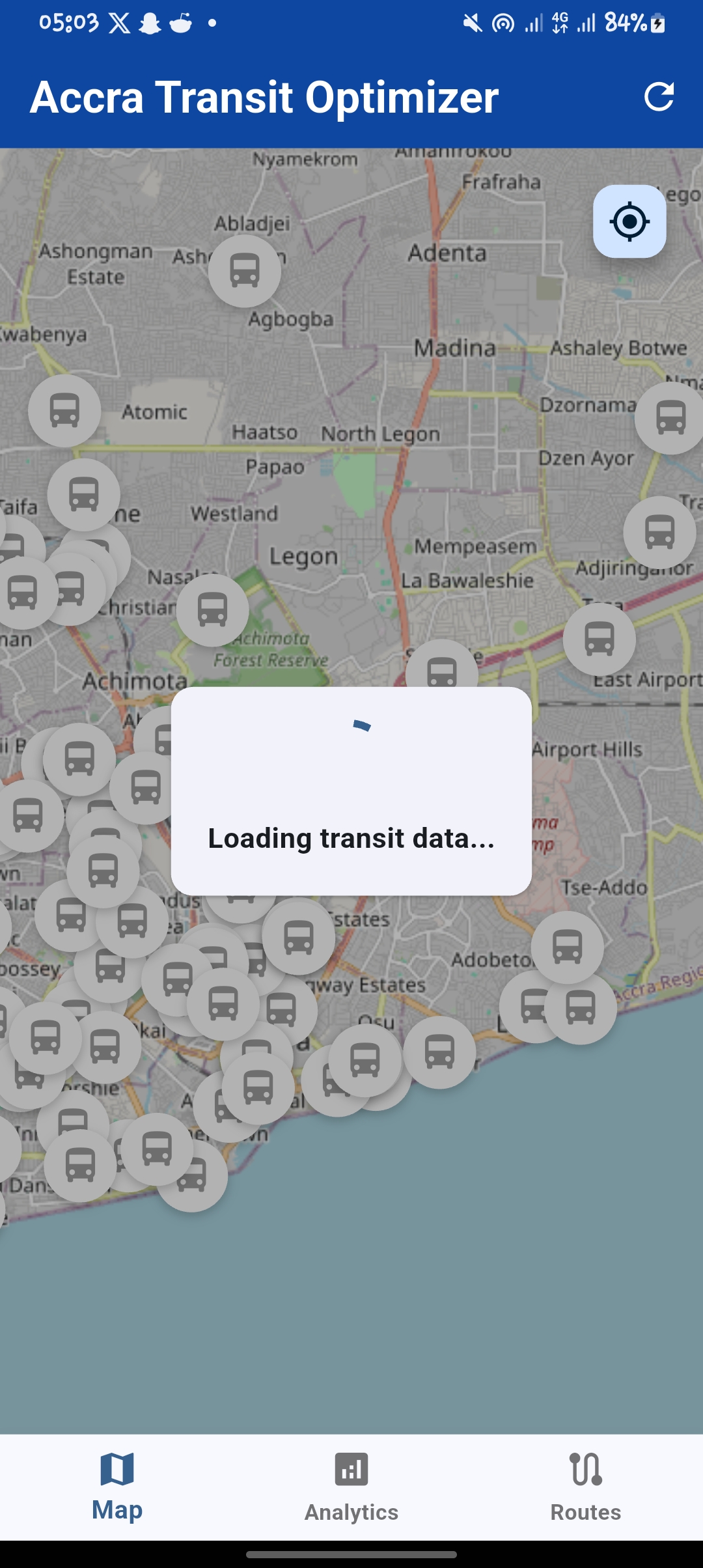
Home screen showing stops

🚀 Inspiration
Accra’s informal public transport system—largely powered by “trotros”—is essential but chaotic. Millions rely on it daily, yet there’s no real-time tracking, no route optimization, and no centralized planning. We saw an opportunity to bridge that gap using AI and open data. Inspired by systems like Google Maps and Moovit, but tailored to local realities, we built TroTroIQ—a smart transit optimizer for Accra and beyond.
🧠 What it does
TroTroIQ is an AI-powered public transport assistant that:
- Suggests optimal routes between any two locations
- Predicts demand and viability of new or existing routes
- Visualizes transport patterns using real-time and historical data
- Helps commuters and planners make data-informed decisions
- Integrates GTFS and GPS data to show the current state of the network
Users can select their origin/destination, and TroTroIQ dynamically suggests high-demand, efficient routes—with visualized polylines and analytical insights.
🛠️ How we built it
- Frontend: Flutter app with Cupertino-style UI, FlutterMap integration, GPS location detection, dropdown-based stop selection, toast notifications, and real-time route visualizations using polylines
- Backend: FastAPI serving ML models, GTFS parsing, GPS handling, route viability scoring, and analytics endpoints
- AI Models: Trained to predict demand and route viability using GTFS static data and synthetic samples
- Data: 2016 Accra GTFS dataset + real-time GPS data stubs + crowdsourced analytics
- Tools: Python, Flutter, Render, Maptiler, Pydantic, Pandas, Scikit-learn, XGBoost, GitHub
🧱 Challenges we ran into
- Lack of reliable real-time transport data
- Handling incomplete GTFS datasets
- Building GPS-based auto-suggestion without draining battery
- Drawing accurate polylines from GTFS
shapes.txtand stop sequences - Flutter + FastAPI integration and managing async data fetching
- Making UI/UX smooth for both low-end and modern devices
🏆 Accomplishments that we're proud of
- End-to-end working MVP: from user input to visualized route
- Dynamic route suggestion via FastAPI + Flutter frontend
- Live location detection + polyline drawing without external APIs
- Viability/demand filtering and analytics dashboard in-app
- Designed with real-world deployment potential in mind
📚 What we learned
- How to parse and manipulate GTFS data effectively
- Flutter best practices for dynamic UIs and location services
- Backend ML model deployment with FastAPI
- Data visualization for transport flows and commuter demand
- The complexity of informal transit systems and urban mobility in developing countries
🔮 What's next for TroTroIQ
- Integrate live GPS feeds from actual buses or phones
- Enable crowdsourced feedback on route performance
- Deploy on Google Play and gather commuter feedback
- Incorporate fare estimation, traffic prediction, and timetable optimization
- Partner with local municipalities to pilot in real-world settings
- Open-source the platform for other African cities
Built With
- fastapi
- flutter
- osmnx
- scikit-learn

Log in or sign up for Devpost to join the conversation.