Inspiration
The primary inspiration for this project stemmed from a desire to create an engaging and immersive geographical exploration tool. I was particularly interested in how 3D mapping libraries could bring data to life and provide a more intuitive user experience than traditional 2D maps. The idea of seamlessly transitioning between diverse global locations added an exciting layer of complexity and visual appeal to the concept.
What it does
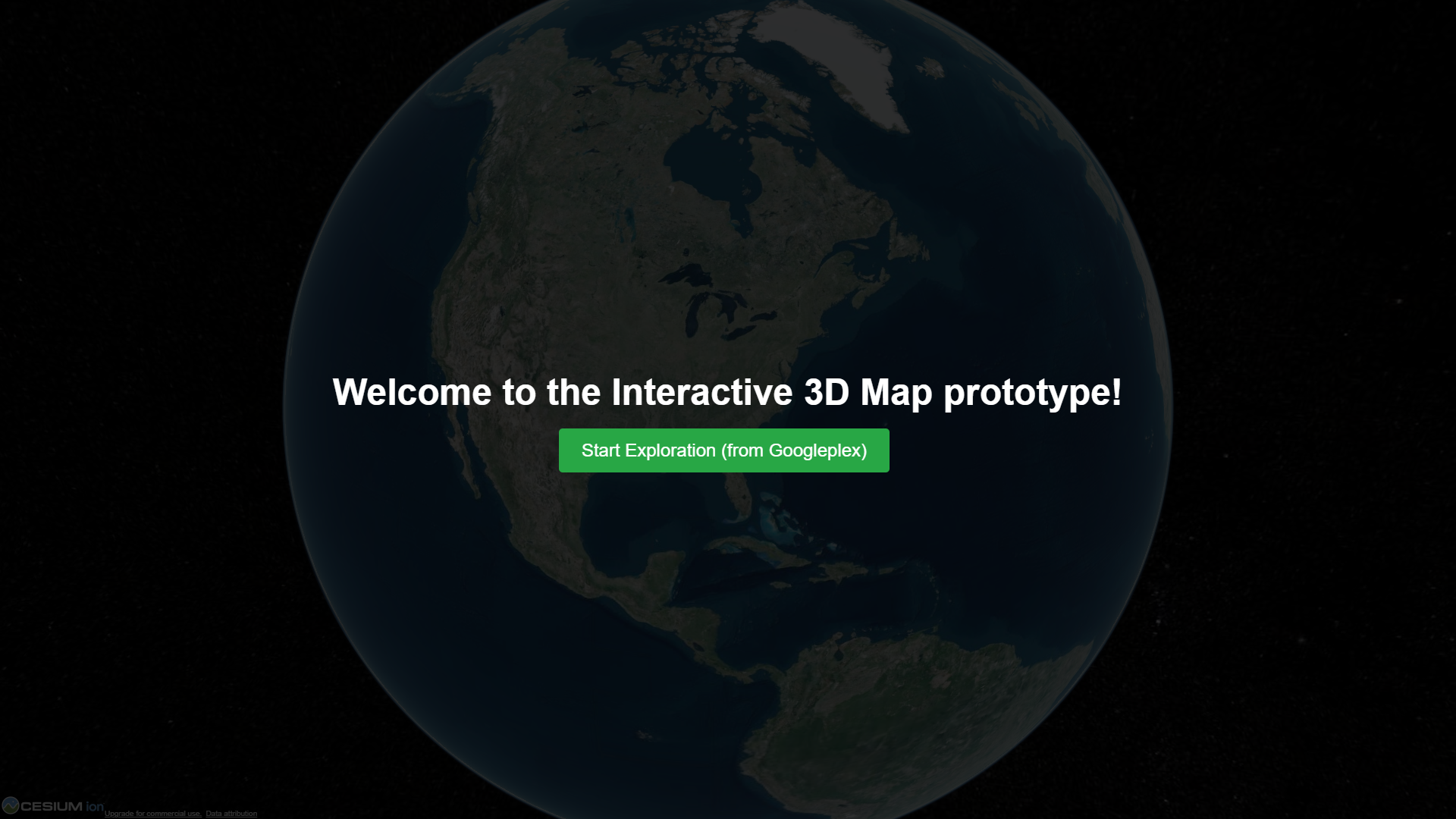
The application displays a fully interactive 3D globe. Users can select from a list of predefined cities (Googleplex, New York, Paris, Tokyo, Cairo) via a control panel. Upon selection, the camera smoothly animates to the chosen location, providing an aerial view.
How I built it
The project is fundamentally built using CesiumJS, an open-source JavaScript library, for all 3D globe rendering and geospatial functionalities.
Challenges I ran into
One significant challenge encountered during development was dealing with cross-origin resource loading. When attempting to open index.html directly from the file system (file://), CesiumJS's worker scripts, which are crucial for loading geographical data, failed to load due to browser security restrictions, resulting in a "Refused to cross-origin redirects of the top-level worker script" error. This was overcome by learning to host the project on a local development server (like Live Server in VS Code), which correctly handles these requests and allows the application to function as intended.
Accomplishments that I'm proud of
I am particularly proud of the seamless and visually appealing 3D navigation experience. The smooth flyTo animations combined with the realistic day/night lighting effect create a truly immersive feel. Overcoming the cross-origin loading challenge was also a significant accomplishment, deepening my understanding of web development best practices and browser security. This project successfully demonstrates the power of CesiumJS for creating rich geospatial applications with a focus on user engagement.
What I learned
Working with latitude, longitude, and height coordinates for 3D navigation.
What's next for Interactive 3D Map prototype
- Future enhancements could include:
- Implementing search functionality to allow users to type in any location.
- Integrating real-time data feeds (e.g., weather, traffic).
- Exploring advanced CesiumJS features like 3D Tilesets for more detailed city models.
- Optimizing performance for even smoother experiences on various devices.

Log in or sign up for Devpost to join the conversation.