-
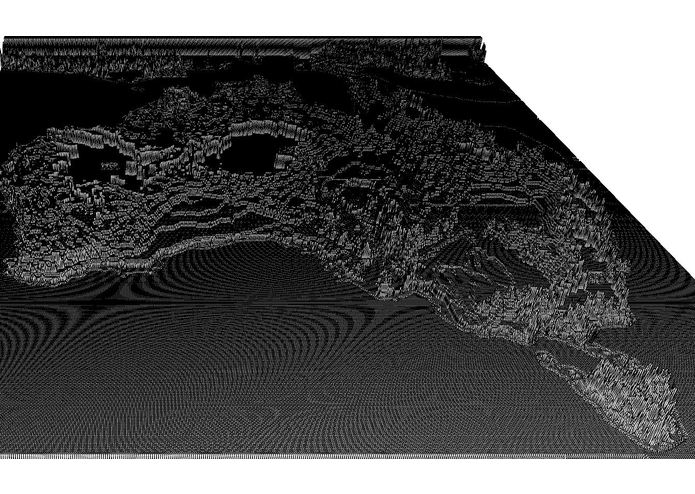
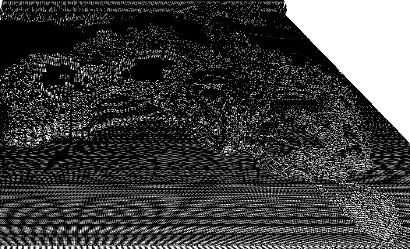
Output
-
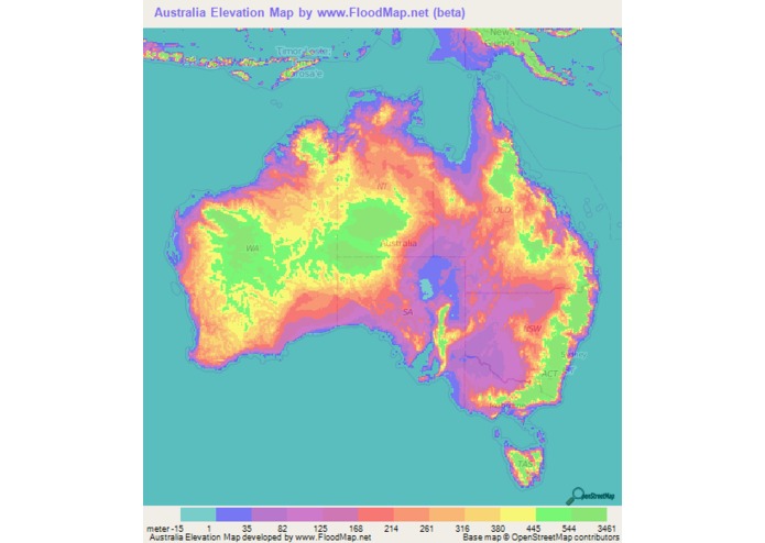
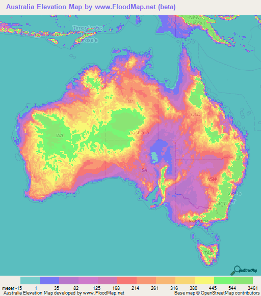
Input
Inspiration
Our team is attending our first Hackathon and was not planning on creating a project to submit this year. After meeting with the other participants we were motivated to try something new. After a couple of hours of brainstorming we came up the idea.
What it does
Our program takes a predetermined map input and scans the picture, pixel by pixel. Each pixel is assigned a value based on the RGB value scanned. These values are used as the height points with each pixel location to generate a 3D map of the elevations.
How we built it
We learned to use Processing Development Environment P3 to scan and create the image.
Challenges we ran into
We had no prior knowledge or experience with Processing. Working in two teams, one for the scanning algorithm and another for the map building. Separately our codes were flawless but combining them took some time to iron out the melding of algorithms.
Accomplishments that we're proud of
We're very proud that we come here with no intention of creating anything and with only 16 hours left we generated and idea, visualized what we wanted to accomplish, and actualized the goal.
What we learned
We learned how to create 3D images with P3 and scan an image pixel by pixel.
What's next for 3D Mapping from Colored Elevation Maps
This basic project was a great starting point and a fantastic experience for each of us. We are all excited to attend our next hacking event!

Log in or sign up for Devpost to join the conversation.