-
-
System Architecture
Inspiration
Ocean “dead zones” are increasing due to climate change and human activity, but there is no real-time system that predicts them before they happen. We were inspired by the idea that, just like weather forecasts help us prepare for storms, we could build a system that predicts dangerous ocean conditions in advance. We wanted to bridge the gap between environmental science and real-world decision-making.
What it does
This is an AI-powered ocean monitoring system that predicts low-oxygen “dead zones” up to 72 hours in advance. It combines real-time sensor data with decades of historical ocean data to identify patterns and forecast where hypoxic conditions will occur. The system then provides clear, actionable warnings to help protect marine life, reduce economic losses, and support better policy decisions.
How we built it
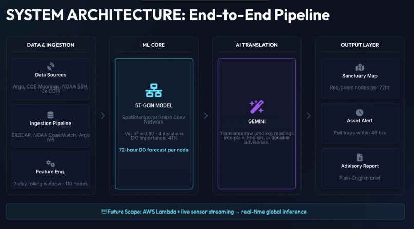
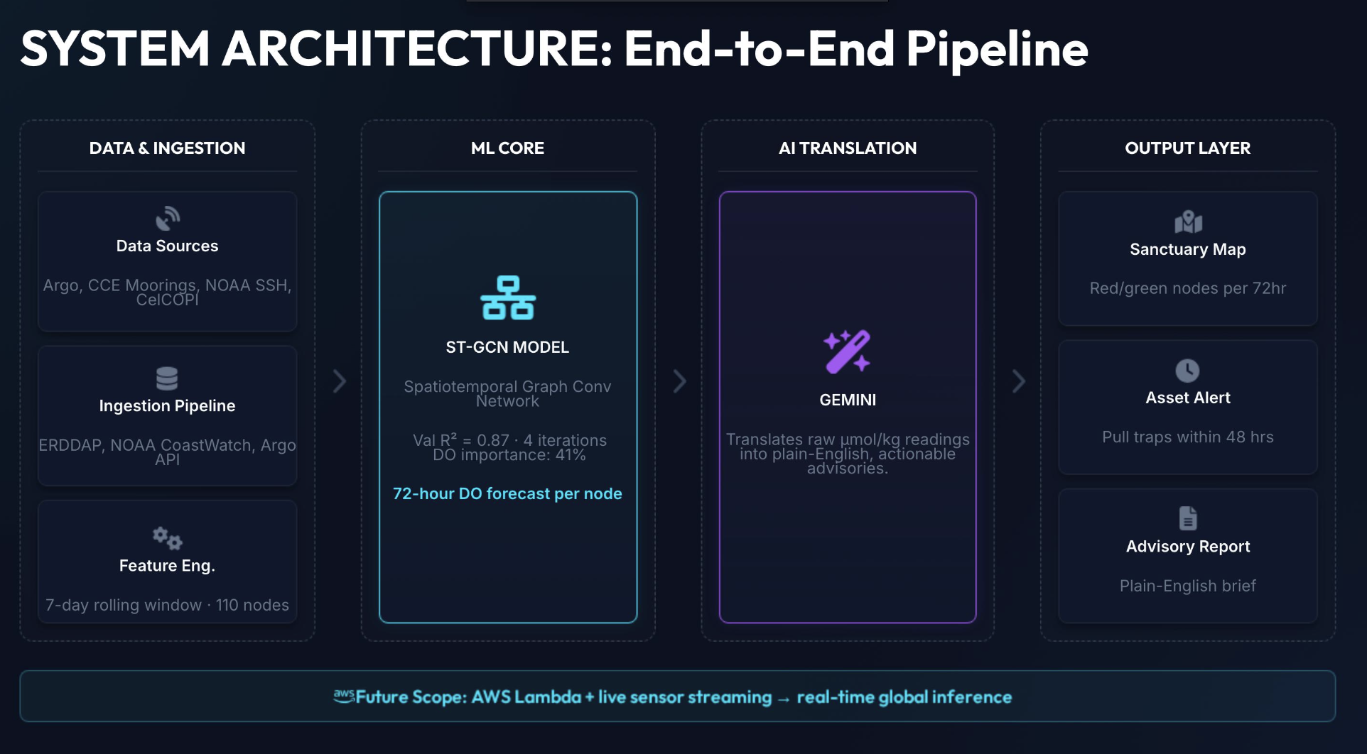
We integrated multiple ocean datasets, including Argo floats, CCE moorings, NOAA sea surface height data, and CalCOFI biological records. We cleaned and aligned these datasets by time and location.
For modeling, we used a spatio-temporal approach (ST-GCN) to capture both spatial relationships between ocean regions and temporal patterns over time. We built a pipeline that processes incoming data, runs predictions, and visualizes results on an interactive dashboard. We also used a language model (Gemini) to translate technical outputs into simple, actionable insights.
Challenges we ran into
One of the biggest challenges was handling large and complex datasets from multiple sources with different formats. Aligning time-series data and ensuring consistency across datasets was difficult.
Another challenge was working under time constraints while building both the model and the visualization. We also had to use synthetic data for the demo due to limited access to real-time APIs during development.
Accomplishments that we're proud of
We successfully built an end-to-end system that combines real-world data, machine learning, and visualization into a single platform.
We are especially proud of:
- Predicting ocean dead zones 72 hours in advance
- Designing a clear and intuitive demo (interactive map + simulation)
- Connecting technical outputs to real-world impact through actionable insights
What we learned
We learned how to work with large-scale environmental data and how important data preprocessing is in real-world projects.
We also gained experience in:
- Building spatio-temporal ML models
- Integrating multiple data sources
- Communicating complex technical ideas in a simple and clear way
Most importantly, we learned that impactful projects are not just about models, but about how well they connect to real-world problems.
What's next for 3 Sharks 1 Blue
Next, we plan to:
- Integrate real-time data pipelines using live APIs
- Improve model accuracy with more advanced architectures and longer training windows
- Expand coverage to global ocean regions
- Collaborate with environmental agencies and fisheries for real-world deployment
Our goal is to turn this into a scalable system that supports global ocean sustainability.


Log in or sign up for Devpost to join the conversation.