-
Before Bit Maps was a thing
-
Now that we have Bit Maps
Inspiration
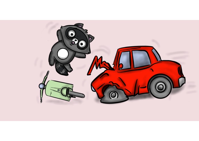
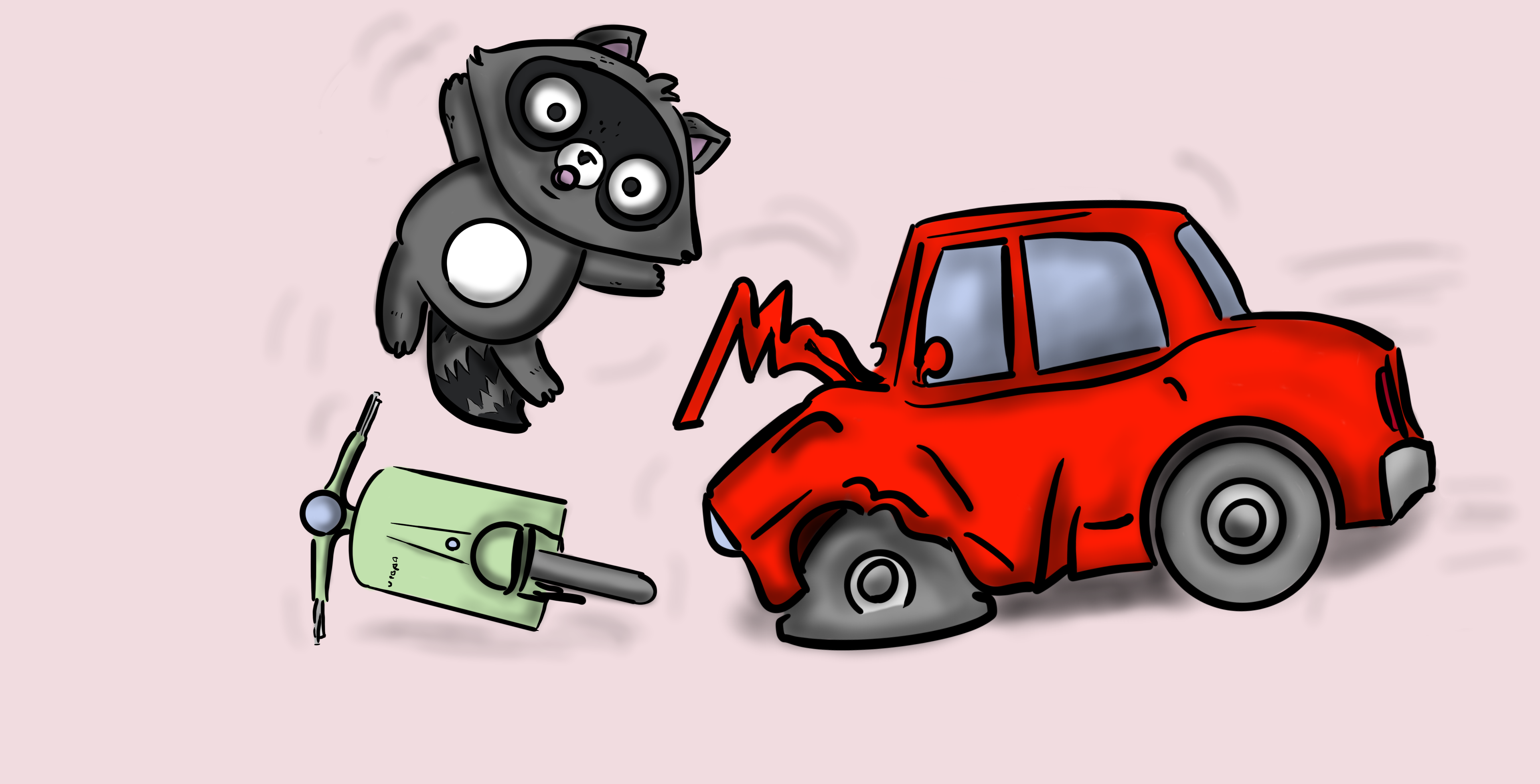
Because you've been hacking away in the basement all weekend, you might have not noticed how dangerous Oxford can be. You are forewarned. Traffic accidents are a constant risk, especially in a busy city where students cycle 10 minutes to lectures. There was literally an accident five days ago on high street. [1] https://www.oxfordmail.co.uk/news/18032951.cyclist-serious-head-injury-crash-van-high-street-oxford/
Most of the time, we go around the city forgetting that such high risks even exist, taking the shortest route possible. We want to remind you all that staying safe is so much more important than having an extra 3 minutes of sleep / procrastination.
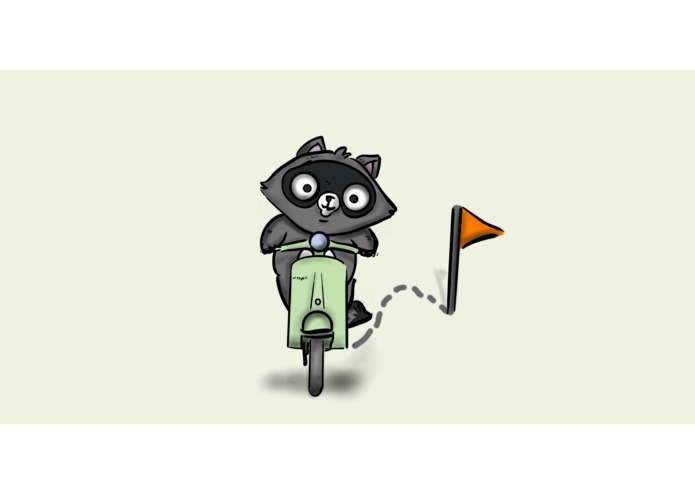
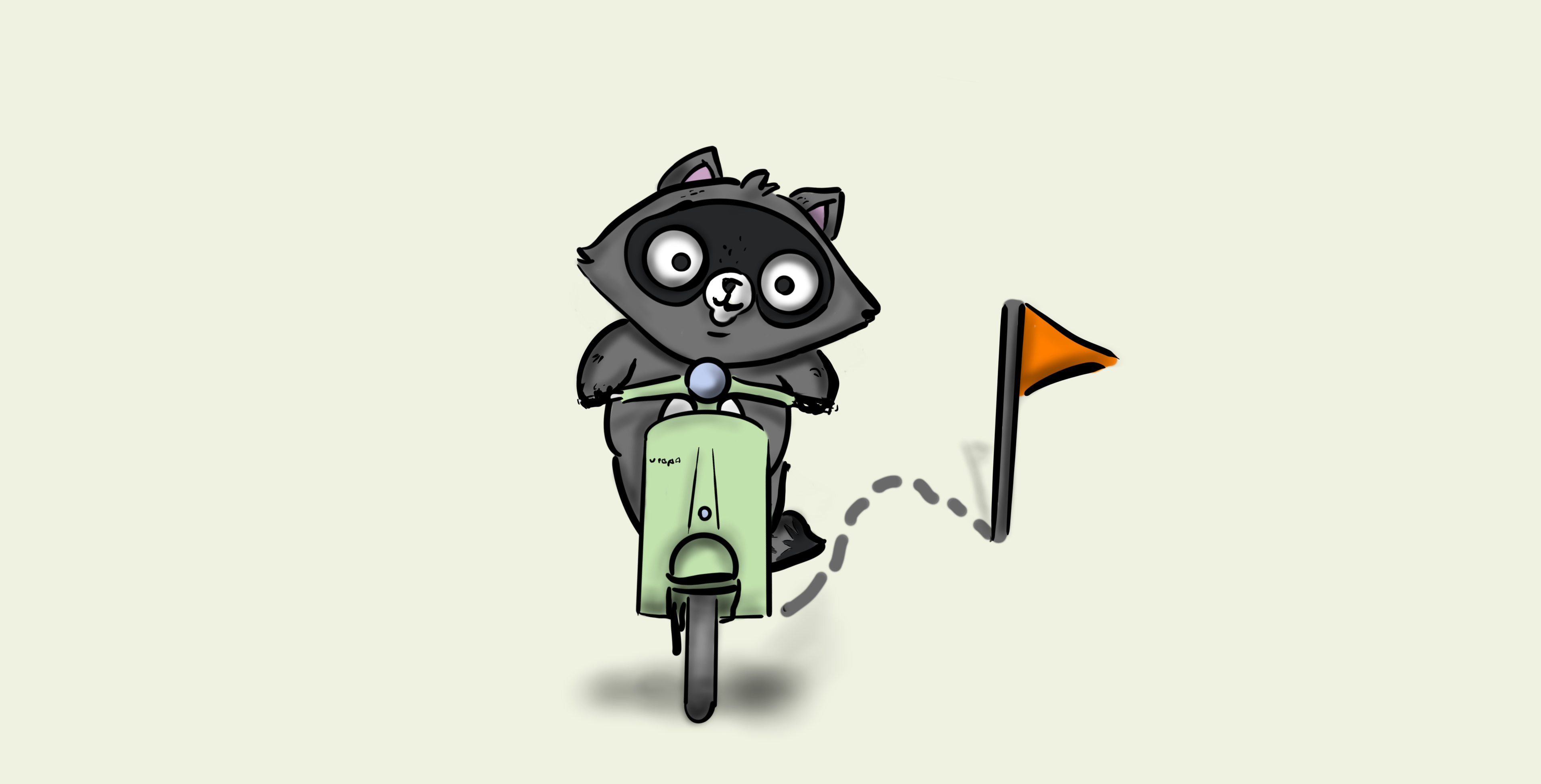
What it does
The portal visualises traffic accident risk based on a record of past incidents in the UK. Users can search for locations, or routes to take them from one place to another. Instead of typical route planning where the criterion for the best route is just the duration, we suggest multiple routes that take you to the same destination with a risk score assigned calculated based on the frequency, severity and weather conditions of past incidents. We also show a heatmap to indicate the risk in the surrounding area.
How we built it
- JavaScript and Bootstrap frontend, Python and Flask backend
- Hosted on Azure (Azure App Service)
- Azure Maps
- Backend endpoint queries a dataset of 1.6 million car accidents in England, Wales and Scotland. Gives location, severity of the accident and weather conditions given a location, radius of interest, and an optional weather condition parameter.
- OpenWeather API
- Weather layer from Azure
- With love <3
Challenges we ran into
Choosing the right colour scheme.
Accomplishments that we're proud of
Visualize different data in one map to inform user at a 1st glance Fuse data to calculate reasonable scores
What we learned
How to use Azure Maps for standard tasks such as search & routing. How to use Azure Maps for more sophisticated tasks such as heat maps. Fuse multiple data sources (accident DB, maps, weather)
What's next for Shortcuts make long delays
Longer distances (currently >= 10 sec for distances >= 30 km) More details for each route / a selected route


Log in or sign up for Devpost to join the conversation.