-

-
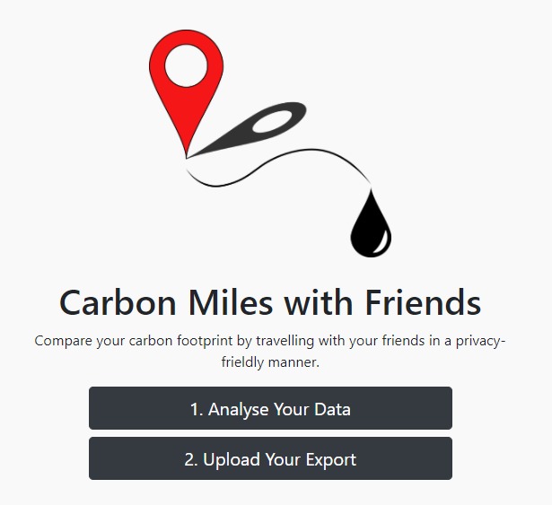
Homepage
-
Analysis


Inspiration
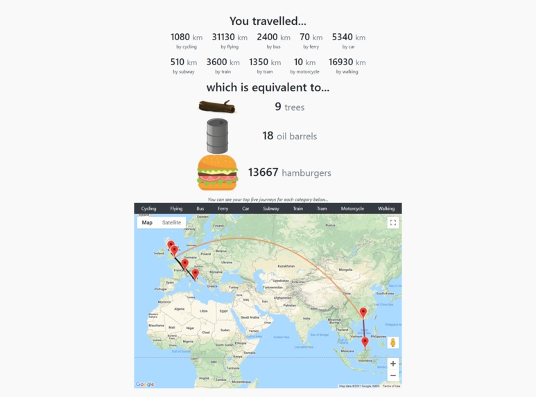
To put into perspective what the impacts of various travelling techniques are on the planet.
What it does
Estimates your total carbon emissions based on location history from Google.
How we built it
We take the exported JSON file from someone's Google location history and analyse every journey taken by various modes of transport. This is done by storing each journey as an entry into a table database using Python SQLite3. It is analysed to find the longest 3 journeys for each mode of transport and count the total distance travelled.
Challenges we ran into
Trying to make our application look slick in a short period of time. It was a rushed decision to move from using python for the GUI of the application to using an offline website with JavaScript and HTML. This decision was made on Sunday, leaving us with limited time to get every refined and functional.
Accomplishments that we're proud of
- Setting up an offline website with a decent design in a short period of time using JavaScript and HTML.
- Respecting people's privacy by avoiding online programs and making our code open-source.
What we learned
How to distribute tasks more evenly.
What's next for Carbon Miles?
- Support for a world heat map of the most commonly visited locations in the world.
- More automation so there are less steps to follow for analysing a person's location data.


Log in or sign up for Devpost to join the conversation.