-

Website Initial Landing
-

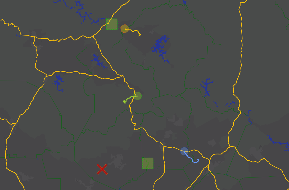
Turn 1: 4 Players routes via esri
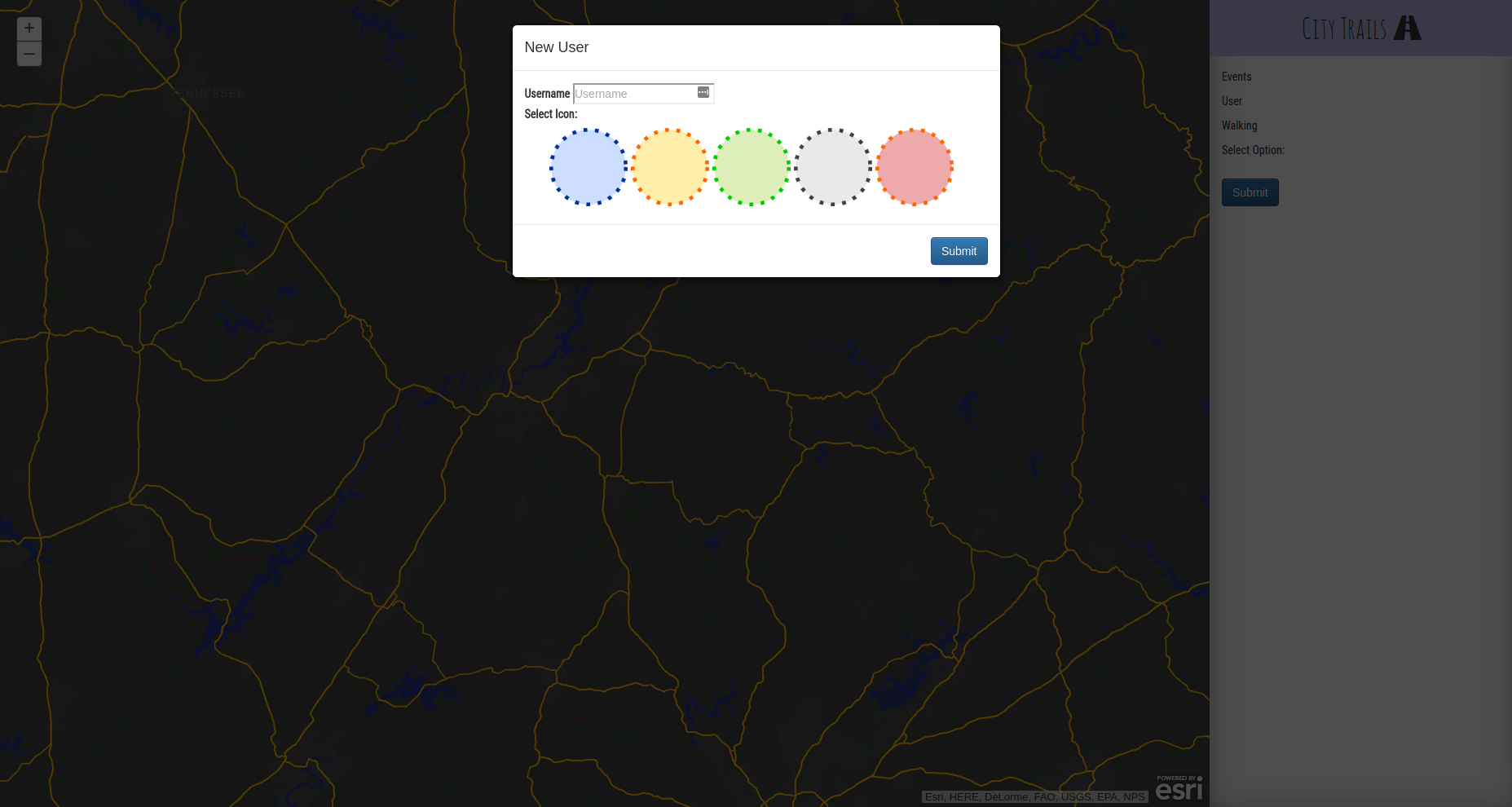
City Trail
Similar to Oregon Trail where we use ESRI mapping, path finding, and demographic data to create a realistic chase to the finish! It is a multiplayer game which can handle games between 5-10 people. Circles are players, Squares are bikes/cars, and the X is the finish.

Uses:
- AWS for hosting
- ARCGIS heavily (described below)
- Flask for server side, Bootstrap and VanilaJS for Front End
How do we use ARCGIS
- Custom Mapping (We created our own Vector Theme)
- Graphical Layer by drawing images and paths on map.
- Route Finding and we limit path by current mode of travel (WALK, BIKE, CAR)


Log in or sign up for Devpost to join the conversation.